
Penn, village and civil parish in Buckinghamshire, England
Posizione: Buckinghamshire
Coordinate GPS: 51.63300,-0.68100
Ultimo aggiornamento: 9 marzo 2025 alle 21:33
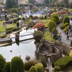
Bekonscot
3.3 km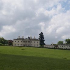
Shardeloes
5.3 km
The Water Tower, Coleshill
4.9 km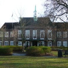
Beaconsfield Town Hall
3.4 km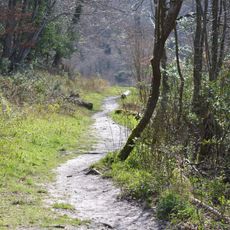
Gomm's Wood
1.9 km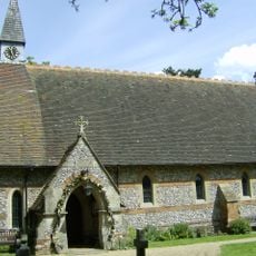
Church of All Saints, Coleshill
3.7 km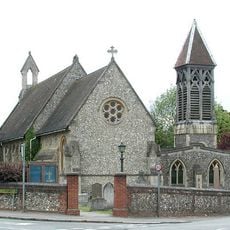
Church of St Margaret
1.1 km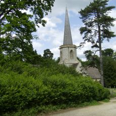
Church of the Holy Trinity
2.9 km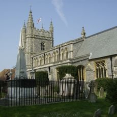
Parish Church of St Mary and All Saints
4.7 km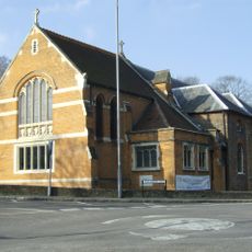
Church of St Peter
3.3 km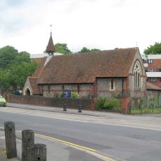
Church of St Anne
2.9 km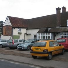
The Queens Head Public House
1 km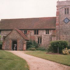
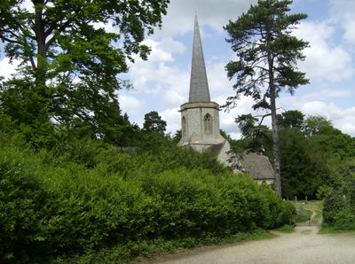
Parish Church of Holy Trinity
338 m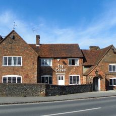
The Crown Public House
354 m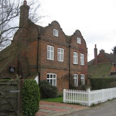
Old Bank House
678 m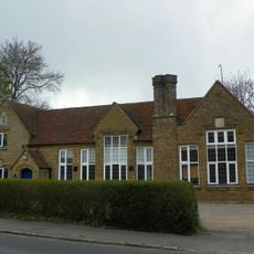
Penn Church Hall
278 m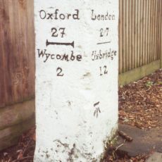
Milestone In Front Of The Halfway House
2.8 km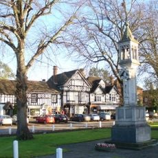
Beaconsfield War Memorial
4.7 km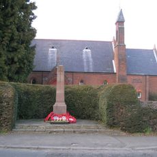
Holmer Green War Memorial
4 km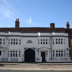
Africa House and Burke Lodge
4.7 km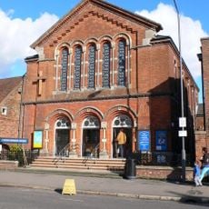
United Reform Church And Hall With Attached Gates And Railings At Front
4.5 km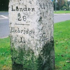
Milestone At Os Su 905905
3.1 km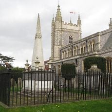
Tomb Of Edmund Waller South East Of Parish Church Of St Mary And All Saints
4.7 km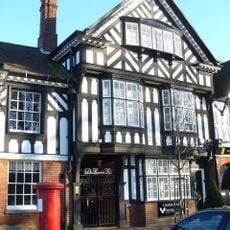
Chester House
4.7 km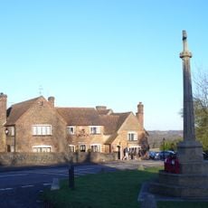
Penn War Memorial, Buckinghamshire
349 m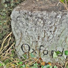
Milestone, Wycombe End
4.3 km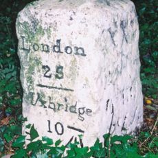
Milestone, White Hill; Holtspur
3.7 km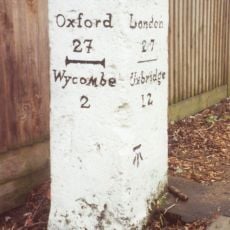
Milestone, London Road; King's Mead, E of town, was beside HalfwayHouse PH (since demolished 2011)
2.8 kmRecensioni
Ha visitato questo luogo? Tocchi le stelle per valutarlo e condividere la Sua esperienza o foto con la community! Provalo ora! Puoi annullarlo in qualsiasi momento.
Scopri tesori nascosti ad ogni viaggio!
Da piccoli caffè caratteristici a panorami nascosti, fuggi dalla folla e scova i posti che fanno davvero per te. La nostra app ti semplifica tutto: ricerca vocale, filtri furbi, percorsi ottimizzati e dritte autentiche da viaggiatori di tutto il mondo. Scaricala subito per vivere l'avventura sul tuo smartphone!

Un nuovo approccio alla scoperta turistica❞
— Le Figaro
Tutti i luoghi che meritano di essere esplorati❞
— France Info
Un’escursione su misura in pochi clic❞
— 20 Minutes