
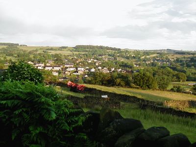
Tansley, village and civil parish in Derbyshire Dales district, Derbyshire, England
Posizione: Derbyshire Dales
Sito web: http://www.tansleyvillage.org.uk
Confina con: Matlock Town, Dethick, Lea and Holloway, Ashover
Sito web: http://tansleyvillage.org.uk
Coordinate GPS: 53.13213,-1.51750
Ultimo aggiornamento: 29 aprile 2025 alle 16:11
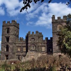
Riber Castle
1.8 km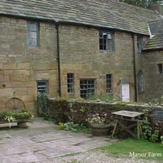
Dethick Manor
1.6 km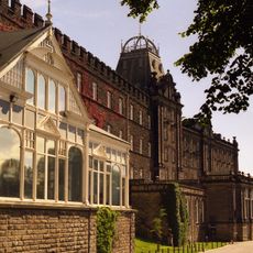
County Hall
2.6 km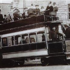
Matlock Cable Tramway
2.5 km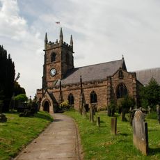
Church of St Giles
2.3 km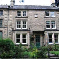
Derwent House, Matlock
2.2 km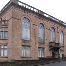
Matlock Town Hall
2.6 km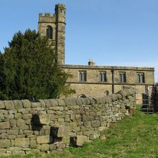
St John the Baptist's Church
1.6 km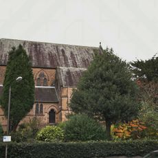
Church of All Saints
2.8 km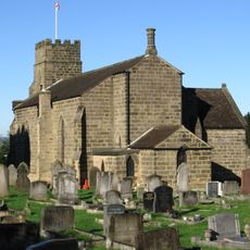
Holy Trinity Church, Tansley
387 m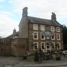
Duke William Inn
2.3 km
86-92, Church Street
2.3 km
King's Head Inn
2.3 km
15, Knowlestone Place
2.2 km
Manor House
1.5 km
5, Knowlestone Place
2.3 km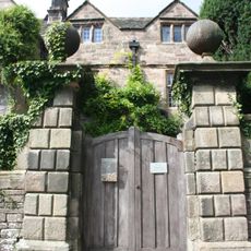
Front garden wall and gate piers of Riber Hall
1.6 km
Ravensnest and attached farm buildings Ravensnest and The Beeches
3.2 km
7-13, Knowlestone Place
2.3 km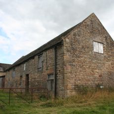
Outbuilding to the north north west of Babington Farmhouse
1.6 km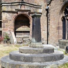
Sundial In St Giles Churchyard
2.3 km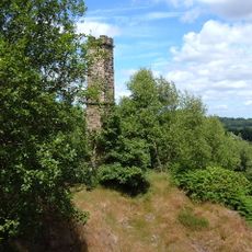
Chimney at Ravensnest
3.1 km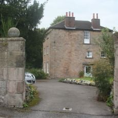
The Rectory
2.4 km
Barn of Riber Hall
1.6 km
Churchyard Wall And Gatepiers Of St Giles
2.3 km
Barn to the north of Church Farmhouse
1.6 km
Riber Hall
1.6 km
Wheatsheaf Farmhouse
2.4 kmRecensioni
Ha visitato questo luogo? Tocchi le stelle per valutarlo e condividere la Sua esperienza o foto con la community! Provalo ora! Puoi annullarlo in qualsiasi momento.
Scopri tesori nascosti ad ogni viaggio!
Da piccoli caffè caratteristici a panorami nascosti, fuggi dalla folla e scova i posti che fanno davvero per te. La nostra app ti semplifica tutto: ricerca vocale, filtri furbi, percorsi ottimizzati e dritte autentiche da viaggiatori di tutto il mondo. Scaricala subito per vivere l'avventura sul tuo smartphone!

Un nuovo approccio alla scoperta turistica❞
— Le Figaro
Tutti i luoghi che meritano di essere esplorati❞
— France Info
Un’escursione su misura in pochi clic❞
— 20 Minutes