
Nymet Rowland, village in the United Kingdom
Posizione: Mid Devon
Coordinate GPS: 50.85900,-3.83000
Ultimo aggiornamento: 13 marzo 2025 alle 05:12
Church of St Peter the Apostle
4.3 km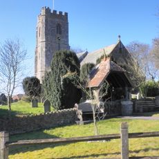
Church of St Thomas of Canterbury
1.9 km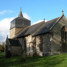
Church of St Mary the Virgin
3.6 km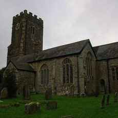
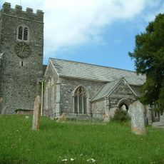
Church of St Matthew
1.6 km
Church of St Bartholomew
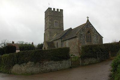
183 m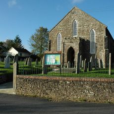
Congrgational Church
2.1 km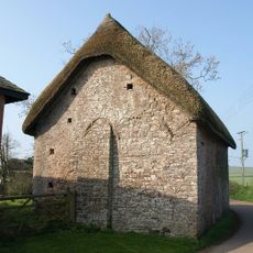
Chapel Approximately 40 Metres North-east Of Bury Barton Farmhouse
2.2 km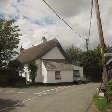
Sunnyside Cottages
1.7 km
The Old Malt Scoop Public House
1.9 km
Lapford Bridge
1.4 km
Lapford War Memorial
1.9 km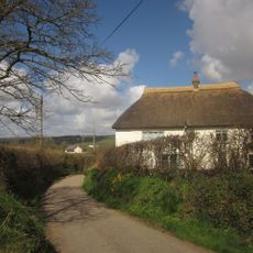
Holm Farmhouse
2.4 km
Milestone At Ss 676 133
3.3 km
Broadgate Cottage
78 m
Milestone At Ss 737 072
2.6 km
Milestone At Ss 727 107
2.9 km
Milestone At Os Ss 795 059
3.9 km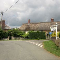
Tor Cottage Whitehall
1.6 km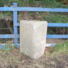
Milestone At Ss 726 081
1.3 km
Town Buildings Including Out Buildings To North-East
1.9 km
Milestone
1.9 km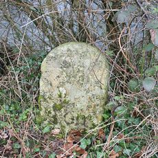
Milestone Approximately 0.5 Metres South Of East End Of North Parapet Wall Of Calves Bridge
3.7 km
Church Cottage
1.6 km
Milestone At Ss 725 116
3.7 km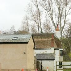
Lower Week Including Summer House Adjoining To South West
4.1 km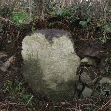
Milestone At Ss 731 053
3.3 km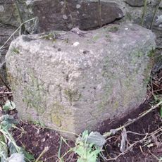
Boundary Stone Against East And Of South Parapet Wall Of Calves Bridge
3.7 km
Milestone, Great Hole Farm, on left side of entrance
2.9 kmRecensioni
Ha visitato questo luogo? Tocchi le stelle per valutarlo e condividere la Sua esperienza o foto con la community! Provalo ora! Puoi annullarlo in qualsiasi momento.
Scopri tesori nascosti ad ogni viaggio!
Da piccoli caffè caratteristici a panorami nascosti, fuggi dalla folla e scova i posti che fanno davvero per te. La nostra app ti semplifica tutto: ricerca vocale, filtri furbi, percorsi ottimizzati e dritte autentiche da viaggiatori di tutto il mondo. Scaricala subito per vivere l'avventura sul tuo smartphone!

Un nuovo approccio alla scoperta turistica❞
— Le Figaro
Tutti i luoghi che meritano di essere esplorati❞
— France Info
Un’escursione su misura in pochi clic❞
— 20 Minutes