
Aston, village and civil parish in High Peak, Derbyshire
Posizione: High Peak
Confina con: Hope, Hope Woodlands, Brough and Shatton, Thornhill
Coordinate GPS: 53.35200,-1.72300
Ultimo aggiornamento: 7 marzo 2025 alle 16:52
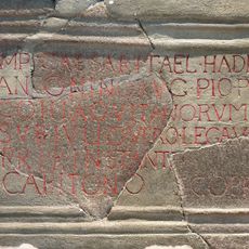
Navio Roman Fort
1.3 km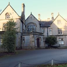
Losehill Hall
3.2 km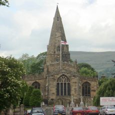
Church of St Peter
1.4 km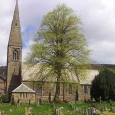
St John the Baptist church
2.3 km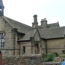
Roman Catholic Church of Our Lady of Sorrows and Attached Presbytery
2.2 km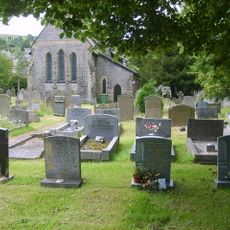
St Barnabas' Church, Bradwell
3 km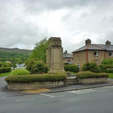
Hope War Memorial
1.3 km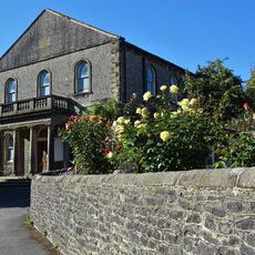
Methodist Church
3.1 km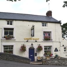
The White Hart Inn
3 km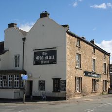
Old Hall Hotel
1.3 km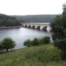
Ashopton Viaduct
2.6 km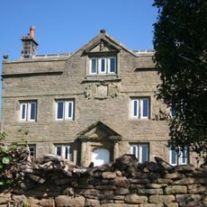
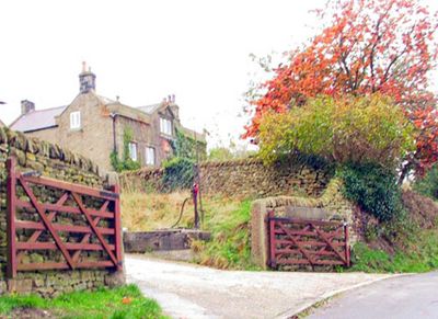
Aston Hall
48 m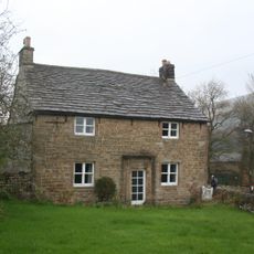
Killhill Farmhouse
1.4 km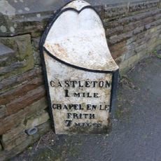
Mile Post East Of Marston Farm Sk159834
2.6 km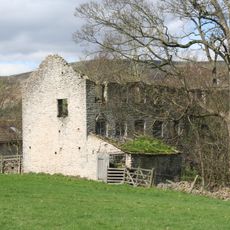
Spital Buildings
3.1 km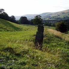
Navio Roman fort and vicus
1.3 km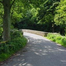
Yorkshire Bridge
1.6 km
The Grey Ditch
2.5 km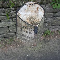
Mile Post at SK 176 834
1.2 km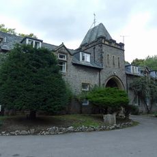
Stable block at Losehill Hall
3.2 km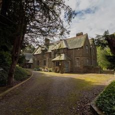
Rectory And Attached Coach House
2.3 km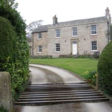
Spring House Farmhouse
2.9 km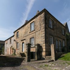
Stanley House and attached stableblock
3.1 km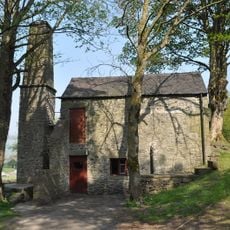
Pindale Mine engine house and attached chimney
2.6 km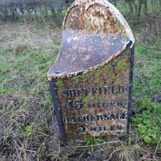
Mile Post At Os 189 826
1.3 km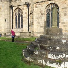
Standing cross in the churchyard of St Peter's Church
1.4 km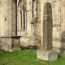
Anglian high cross in the churchyard of St Peter's Church
1.4 km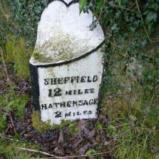
Milepost, Hope Road, Mytham, just W of Mytham Leadmill Bridge
2.4 kmRecensioni
Ha visitato questo luogo? Tocchi le stelle per valutarlo e condividere la Sua esperienza o foto con la community! Provalo ora! Puoi annullarlo in qualsiasi momento.
Scopri tesori nascosti ad ogni viaggio!
Da piccoli caffè caratteristici a panorami nascosti, fuggi dalla folla e scova i posti che fanno davvero per te. La nostra app ti semplifica tutto: ricerca vocale, filtri furbi, percorsi ottimizzati e dritte autentiche da viaggiatori di tutto il mondo. Scaricala subito per vivere l'avventura sul tuo smartphone!

Un nuovo approccio alla scoperta turistica❞
— Le Figaro
Tutti i luoghi che meritano di essere esplorati❞
— France Info
Un’escursione su misura in pochi clic❞
— 20 Minutes