
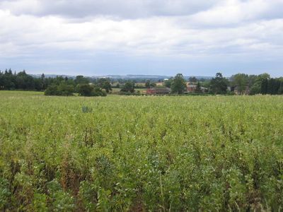
Nether Whitacre, village in Warwickshire, England, UK
Posizione: North Warwickshire
Coordinate GPS: 52.53000,-1.66000
Ultimo aggiornamento: 4 marzo 2025 alle 12:42
The Belfry
5.7 km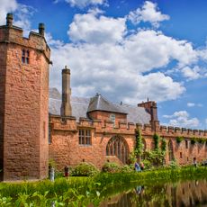
Castello di Maxstoke
3.5 km
Blyth Hall
3.2 km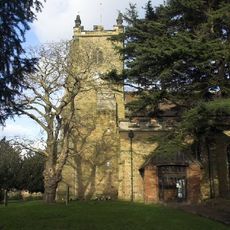
Church of St Peter & St Paul, Kingsbury
4.1 km
The Pumping Station, Whitacre Waterworks
2 km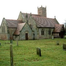
Baxterley Church
5.2 km
Church of the Resurrection, Hurley
3.7 km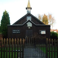
St Michael & All Angels Church, Wood End
5.8 km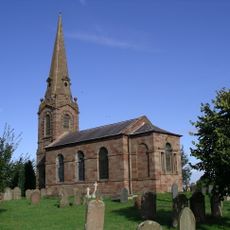
Church of St Leonard
2.7 km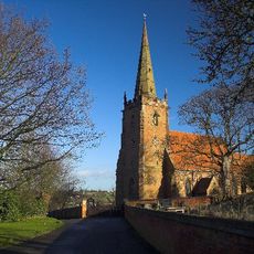
Church of St Cuthbert, Shustoke
1.9 km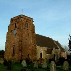
Church of St Giles
335 m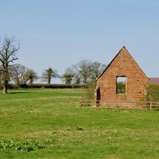
Ruins Of Chapel Of The Holy Trinity At Sp 2754 9453
4.8 km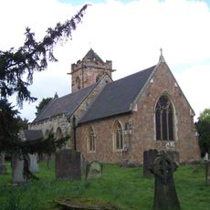
Church of St John the Baptist
2.7 km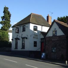
The Bulls Head Inn
2.1 km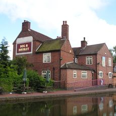
Dog And Doublet Inn
4.9 km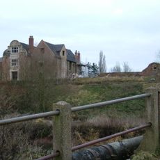
Kingsbury Hall
4.2 km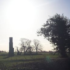
Chimney Remains 200 Metres South Of Monwode Lea Farmhouse
3.9 km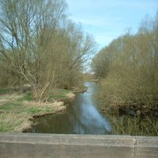
Blyth Bridge (That Part In Coleshill Civil Parish)
3.4 km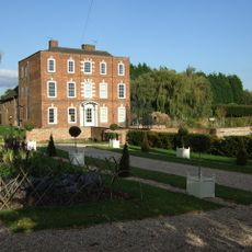
Hurley Hall And Attached Wall
4 km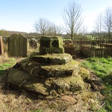
Churchyard Cross At Church Of St Leonard
2.7 km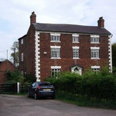
Monwode Lea Farmhouse
3.8 km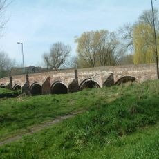
Cole Bridge
4.4 km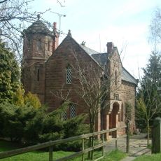
Blythe Lodge
3.3 km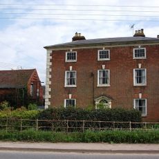
Monwode House Farmhouse
3.6 km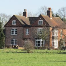
Manor House
3.4 km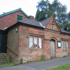
Village Hall
2.7 km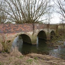
Blyth Hall Packhorse Bridge
2.5 km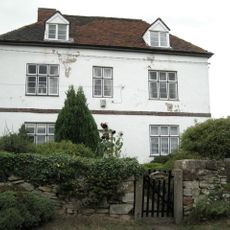
Grassyard House
3.8 kmHa visitato questo luogo? Tocchi le stelle per valutarlo e condividere la Sua esperienza o foto con la community! Provalo ora! Puoi annullarlo in qualsiasi momento.
Scopri tesori nascosti ad ogni viaggio!
Da piccoli caffè caratteristici a panorami nascosti, fuggi dalla folla e scova i posti che fanno davvero per te. La nostra app ti semplifica tutto: ricerca vocale, filtri furbi, percorsi ottimizzati e dritte autentiche da viaggiatori di tutto il mondo. Scaricala subito per vivere l'avventura sul tuo smartphone!

Un nuovo approccio alla scoperta turistica❞
— Le Figaro
Tutti i luoghi che meritano di essere esplorati❞
— France Info
Un’escursione su misura in pochi clic❞
— 20 Minutes