Stamford Bridge, villaggio nell'East Riding of Yorkshire, Gran Bretagna
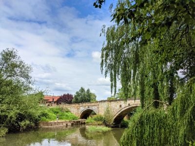
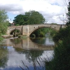
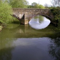
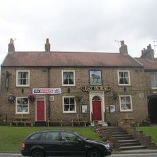
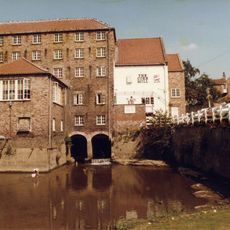
Stamford Bridge è un piccolo villaggio nell'East Riding of Yorkshire situato lungo il fiume Derwent, circondato da campi aperti e boschi. Il villaggio è costituito da case modeste e fattorie con edifici in pietra tradizionali, mentre un ponte in pietra dell'inizio del 18° secolo divide l'insediamento e funge da uno dei suoi monumenti più caratteristici.
L'area fu colonizzata dai Romani intorno al 70 d.C., che costruirono il forte Derventio, un nome derivato da una parola celtica che significa quercia. L'evento più notevole è la Battaglia di Stamford Bridge nel 1066, quando il Re Harald II sconfisse le forze vichinghe di Harald Hardrada, un evento che lasciò un segno duraturo nella storia inglese.
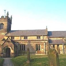
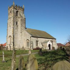
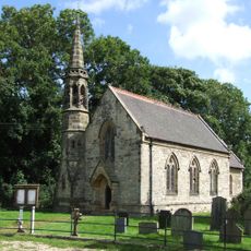
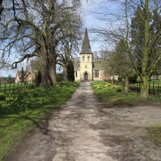
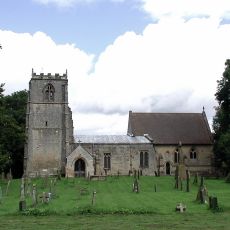
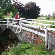
Il nome riflette un antico guado fluviale, una connessione che rimane parte dell'identità del villaggio oggi. I residenti si riuniscono regolarmente in chiesa e alla sala del villaggio per eventi locali, il che aiuta a mantenere legami stretti e tradizioni vive nella comunità.
Il villaggio manca di grandi aree di parcheggio, rendendolo più accessibile a piedi o in bicicletta, il che è ideale per esplorare l'insediamento. L'area offre buoni sentieri lungo il Derwent e attraverso i campi circostanti, e l'abbigliamento caldo e resistente alle intemperie è consigliato a causa del paesaggio aperto.
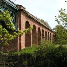
Il villaggio ha subito gravi inondazioni nel 2000, dopo le quali sono state costruite barriere protettive per prevenire future inondazioni, il che lo rende uno degli eventi recenti più significativi dell'area. L'antica stazione ferroviaria e il viadotto degli anni 1840 ricordano una precedente connessione ferroviaria la cui riapertura è attualmente in fase di pianificazione.
La comunità dei viaggiatori curiosi
AroundUs riunisce migliaia di luoghi selezionati, consigli locali e gemme nascoste, arricchiti ogni giorno da oltre 60,000 contributori in tutto il mondo.