
Kirk Langley, village and civil parish in Amber Valley, Derbyshire, England
Posizione: Amber Valley
Confina con: Mercaston, Brailsford, Trusley, Dalbury Lees, Radbourne, Mackworth, Kedleston
Coordinate GPS: 52.94600,-1.57200
Ultimo aggiornamento: 8 marzo 2025 alle 19:43
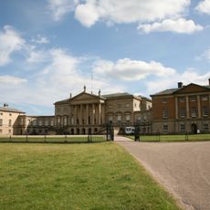
Kedleston Hall
2.8 km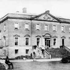
Radbourne Hall
3.2 km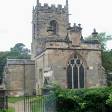
All Saints Church, Kedleston
2.8 km
Mackworth Castle
2.7 km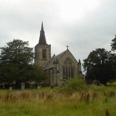
All Saints' Church, Mackworth
3.3 km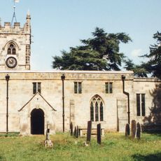
St Andrew's Church, Radbourne
2.8 km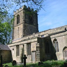
Church of All Saints
5 km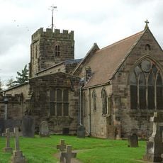
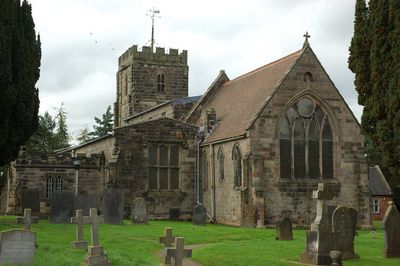
Church of St Michael
215 m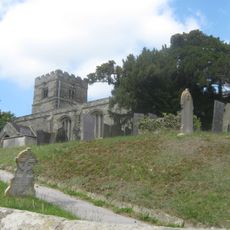
Church of All Saints
4.1 km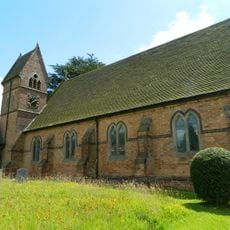
Christ Church, Long Lane
3.7 km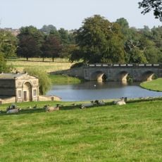
Kedleston Hall gardens
2.6 km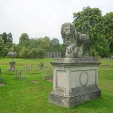
Lion Statue
2.7 km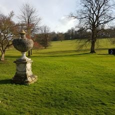
Monument To Michael Drayton
2.7 km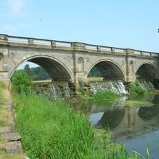
The Bridge And Cascade
3.1 km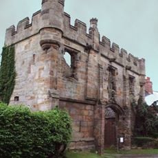
Gatehouse to Mackworth Castle
2.7 km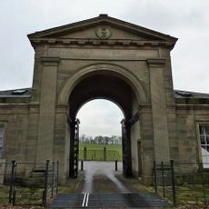
The North Lodge
4.1 km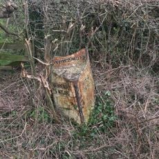
Milepost At Os 293 387
395 m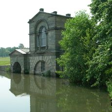
The Boathouse
3 km
Lower Vicarwood
2.8 km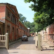
The Stables
2.7 km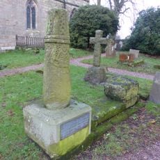
Anglo-Scandinavian high cross shaft and medieval cross base in the churchyard of All Saints' Church
5 km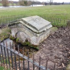
The Lion's Mouth
2.9 km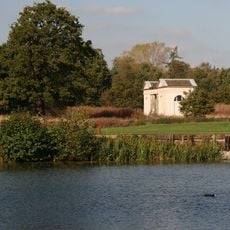
The Sulphur Bath
3.4 km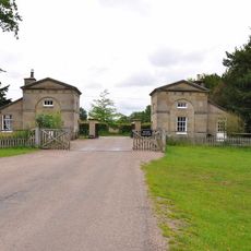
The South Lodges
2.9 km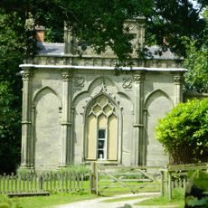
Gothic Temple
4.2 km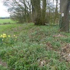
Ravensdale deer park, lodge, mill and fishpond
4.9 km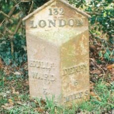
Mile Post At Os 293 425
3.7 km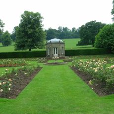
The Summer House
2.7 kmRecensioni
Ha visitato questo luogo? Tocchi le stelle per valutarlo e condividere la Sua esperienza o foto con la community! Provalo ora! Puoi annullarlo in qualsiasi momento.
Scopri tesori nascosti ad ogni viaggio!
Da piccoli caffè caratteristici a panorami nascosti, fuggi dalla folla e scova i posti che fanno davvero per te. La nostra app ti semplifica tutto: ricerca vocale, filtri furbi, percorsi ottimizzati e dritte autentiche da viaggiatori di tutto il mondo. Scaricala subito per vivere l'avventura sul tuo smartphone!

Un nuovo approccio alla scoperta turistica❞
— Le Figaro
Tutti i luoghi che meritano di essere esplorati❞
— France Info
Un’escursione su misura in pochi clic❞
— 20 Minutes