
Normandy, village and civil parish in Surrey, England
Posizione: Guildford
Confina con: Mytchett
Coordinate GPS: 51.25760,-0.65560
Ultimo aggiornamento: 8 marzo 2025 alle 14:30
Brookwood Cemetery
4.6 km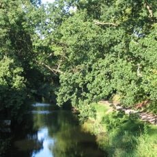
Basingstoke Canal
5 km
Wanborough Manor
2.9 km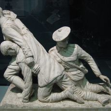
Museum of Military Medicine
4.8 km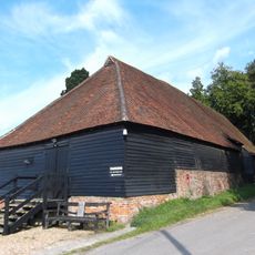
Wanborough Grange
2.9 km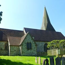
Church of St Peter
4.3 km
Littlefield Common
2.2 km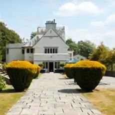
Greyfriars
3.6 km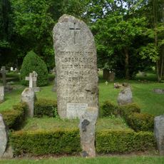
Stanley Memorial
4.1 km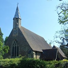
Church of St Mark
1.8 km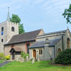
Church of St Michael and All Angels
4.1 km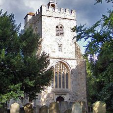
Church of St Mary the Virgin
3.8 km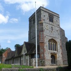
Church of St John the Baptist
4 km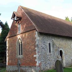
Church of St Bartholomew
2.9 km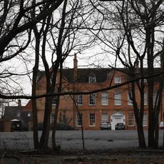
Henley Park
1 km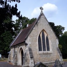
Memorial Chapel
4.4 km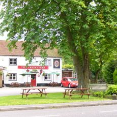
The Cricketers Public House
4.2 km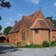
St Mary's Church
4.7 km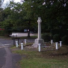
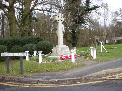
Normandy War Memorial, Surrey
1.2 km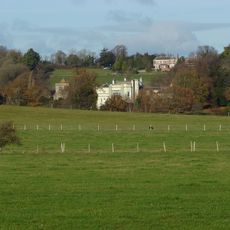
Puttenham Priory
4 km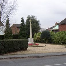
Ash War Memorial
4.2 km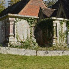
Chest Tomb 12 Yards North Of Tower Of Church Of St John The Baptist
4 km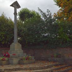
Puttenham War Memorial
4 km
The Old School House
4 km
Winters Farm Studio And Barn
4.1 km
Parker Chest Tomb 2 Yards West Of Tower Of Church Of St Peter
4.3 km
Hartshorn
4.3 km
Chest Tomb 10 Yards North Of Tower Of Church Of St John The Baptist
4 kmRecensioni
Ha visitato questo luogo? Tocchi le stelle per valutarlo e condividere la Sua esperienza o foto con la community! Provalo ora! Puoi annullarlo in qualsiasi momento.
Scopri tesori nascosti ad ogni viaggio!
Da piccoli caffè caratteristici a panorami nascosti, fuggi dalla folla e scova i posti che fanno davvero per te. La nostra app ti semplifica tutto: ricerca vocale, filtri furbi, percorsi ottimizzati e dritte autentiche da viaggiatori di tutto il mondo. Scaricala subito per vivere l'avventura sul tuo smartphone!

Un nuovo approccio alla scoperta turistica❞
— Le Figaro
Tutti i luoghi che meritano di essere esplorati❞
— France Info
Un’escursione su misura in pochi clic❞
— 20 Minutes