
Foston and Scropton, civil parish in South Derbyshire district, Derbyshire, England
Posizione: South Derbyshire
Confina con: Church Broughton, Sudbury, Hatton
Sito web: http://fostonandscroptonparishcouncil.org.uk
Coordinate GPS: 52.86900,-1.71400
Ultimo aggiornamento: 23 marzo 2025 alle 11:35

Tutbury Castle
1.9 km
Sudbury Hall
3.9 km
National Trust
4 km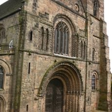
Church of St Mary
2.1 km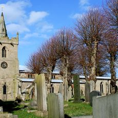
St Michael and All Angels' Church, Church Broughton
3.8 km
Church of All Saints, Sudbury
4.1 km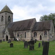
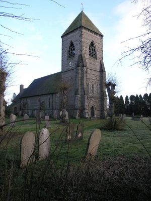
Church of St Paul
64 m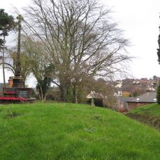
Tutbury War Memorial
2.1 km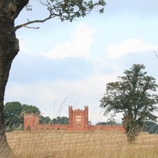
Folly Or Deercote In Park
4 km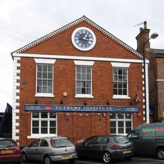
North west block of Tutbury Institute fronting street
2.3 km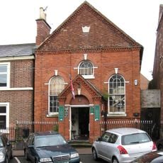
Wesleyan Methodist Chapel
2.3 km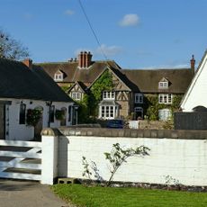
Fauld Hall
1.5 km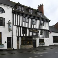
Dog And Partridge Hotel
2.3 km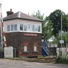
Tutbury Crossing Signal Box
2.2 km
RAF Fauld Explosion Crater
2.7 km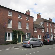
10, High Street
2.3 km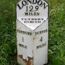
Milepost At Sk2161028370
2.9 km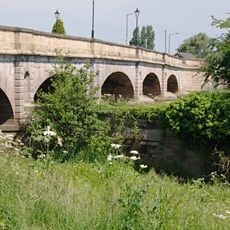
Tutbury Bridge
2.2 km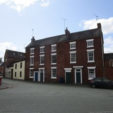
8-10, Duke Street
2.3 km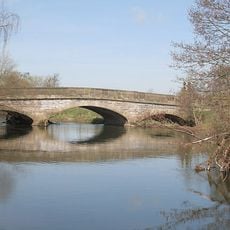
Aston Bridge
3.2 km
1, Castle Street
2.2 km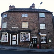
1, Duke Street
2.3 km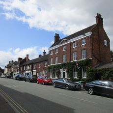
6 And 6A, High Street
2.3 km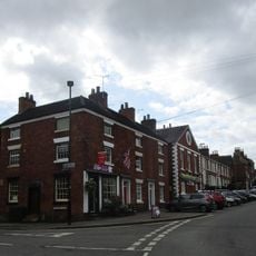
22 And 24, High Street
2.4 km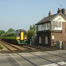
Sudbury Crossing Signal Box
3.1 km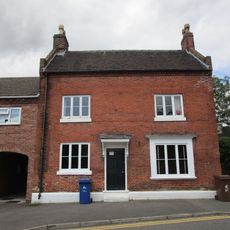
5, Monk Street
2.2 km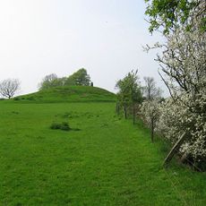
Hoon Mount platformed bowl barrow
4 km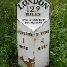
Milepost, S end of Tutbury by-pass, just E of on roundabout
2.9 kmRecensioni
Ha visitato questo luogo? Tocchi le stelle per valutarlo e condividere la Sua esperienza o foto con la community! Provalo ora! Puoi annullarlo in qualsiasi momento.
Scopri tesori nascosti ad ogni viaggio!
Da piccoli caffè caratteristici a panorami nascosti, fuggi dalla folla e scova i posti che fanno davvero per te. La nostra app ti semplifica tutto: ricerca vocale, filtri furbi, percorsi ottimizzati e dritte autentiche da viaggiatori di tutto il mondo. Scaricala subito per vivere l'avventura sul tuo smartphone!

Un nuovo approccio alla scoperta turistica❞
— Le Figaro
Tutti i luoghi che meritano di essere esplorati❞
— France Info
Un’escursione su misura in pochi clic❞
— 20 Minutes