
Cropwell Butler, village in United Kingdom
Posizione: Rushcliffe
Coordinate GPS: 52.92800,-0.98500
Ultimo aggiornamento: 5 marzo 2025 alle 14:07
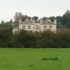
Wiverton Hall
3.1 km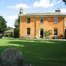
Langar Hall
4.6 km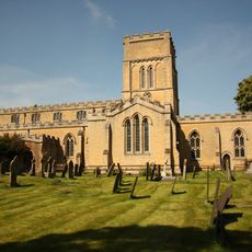
St. Andrew's Church
4.6 km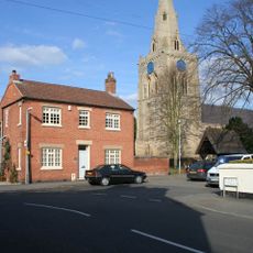
Church of St. Mary and All Saints, Bingham
3.6 km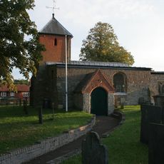
Holy Trinity Church, Tythby
1.5 km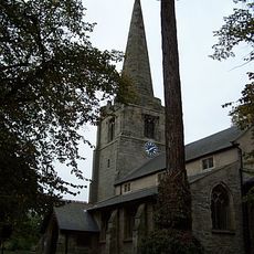
All Saints' Church, Cotgrave
4.3 km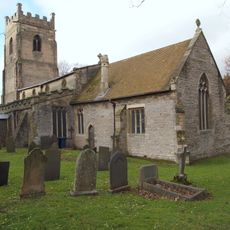
St. Giles' Church, Cropwell Bishop
1.7 km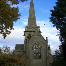
St. John's Church, Colston Bassett
4.3 km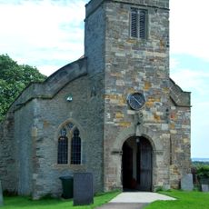
Church of St Margaret, Owlthorpe
3.9 km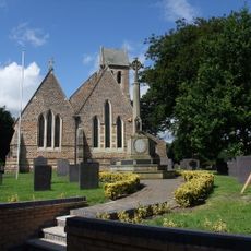
St. Mary's Church, Radcliffe on Trent
4.3 km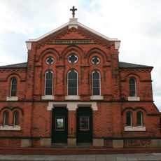
Wollaton Road Methodist Church, Beeston
4.4 km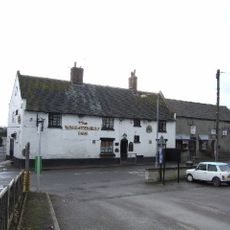
Wheatsheaf Inn
1.7 km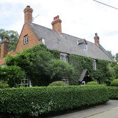
Martins Arms Public House
4.3 km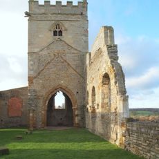
Remains of Church of St Mary
3.6 km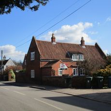
16 And 20, Fern Road
1.7 km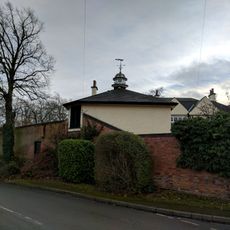
The Court, Including Stable Wing And Dovecote
49 m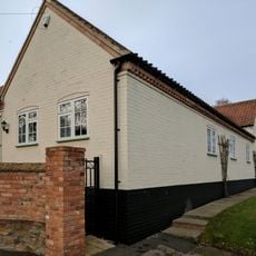
West Lea
71 m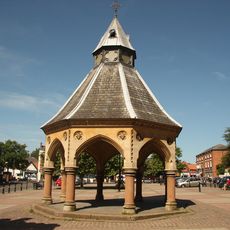
Market Cross
3.5 km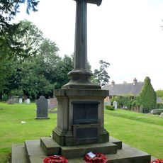
Cotgrave War Memorial
4.4 km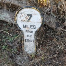
Grantham Canal, Canal 7 Miles Post Approximately 200 Metres East Of Foss Bridge
1.1 km
Grantham Canal, 9 3/4 Miles Post Approximately 100 Metres North Of Spencer's Bridge
4.3 km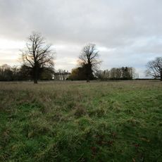
The Grange
246 m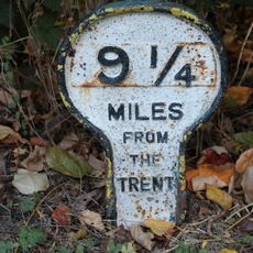
Grantham Canal, Canal 9 1/4 Miles Post Approximately 600 Metres South Of Colston Bridge
3.6 km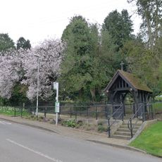
Lych Gate War Memorial At Cropwell Butler Cemetery
520 m
Radcliffe Hall, The Royal British Legion Branch And Club
4.4 km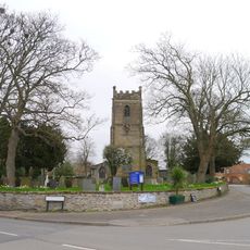
Wall To South And West Sides Of Churchyard Of Churchyard Of St Giles
1.7 km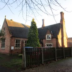
Church House (Playschool)
3.6 km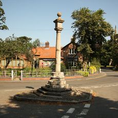
Market Cross
4.3 kmRecensioni
Ha visitato questo luogo? Tocchi le stelle per valutarlo e condividere la Sua esperienza o foto con la community! Provalo ora! Puoi annullarlo in qualsiasi momento.
Scopri tesori nascosti ad ogni viaggio!
Da piccoli caffè caratteristici a panorami nascosti, fuggi dalla folla e scova i posti che fanno davvero per te. La nostra app ti semplifica tutto: ricerca vocale, filtri furbi, percorsi ottimizzati e dritte autentiche da viaggiatori di tutto il mondo. Scaricala subito per vivere l'avventura sul tuo smartphone!

Un nuovo approccio alla scoperta turistica❞
— Le Figaro
Tutti i luoghi che meritano di essere esplorati❞
— France Info
Un’escursione su misura in pochi clic❞
— 20 Minutes