
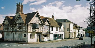
Southam, town in Warwickshire, United Kingdom
Posizione: Stratford-on-Avon
Coordinate GPS: 52.25200,-1.39000
Ultimo aggiornamento: 18 marzo 2025 alle 23:27
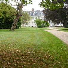
Ladbroke Hall
3 km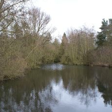
Ufton Fields
3.8 km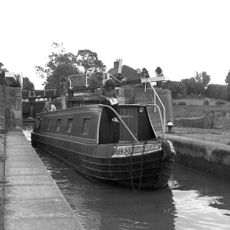
Bascote Locks
3.4 km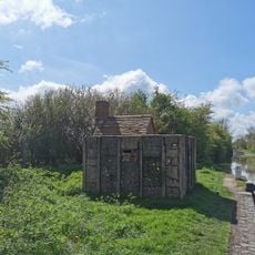
PILLBOX (TYPE FW3/26), Lock No.10 (Oxford Canal), Chapel Green, near Napton on the Hill.
4.2 km
Congregational Church
243 m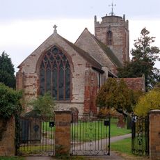
Church of the Holy Trinity
3.5 km
Church of All Saints
4.6 km
Church of All Saints
2.8 km
Church of St James
77 m
Church of St Michael
2.8 km
Church of St Lawrence
4.6 km
Church of St Michael
3.9 km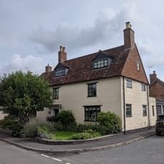
Church House
4.5 km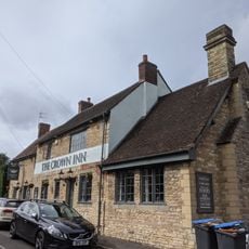
The Crown Inn
4.5 km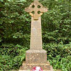
Bascote Heath And Stoneythorpe War Memorial
2.7 km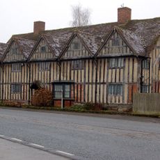
Tudor House
3.5 km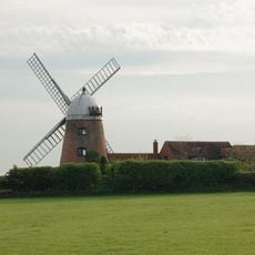
Napton Windmill
4.1 km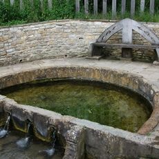
'The Holy Well'
749 m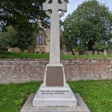
Harbury War Memorial
4.6 km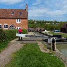
Napton Bottom Lock, Oxford Canal
4.2 km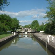
Grand Union Canal, Stockton Locks, To The East Of Bridge Number 23 (Not Included)
3.4 km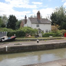
Grand Union Canal, Shop Lock Approximately 7 Metres North Of Cottage Number 221
3.1 km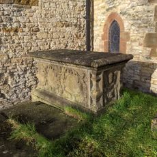
Chest Tomb Approximately 0.5 Metres East Of South Aisle Of Church Of All Saints
4.6 km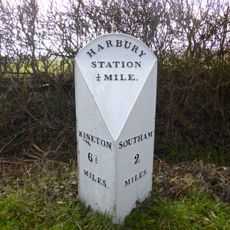
Milestone At National Grid Reference Sp 3928 5935
3.3 km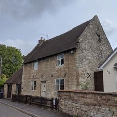
The Homestead
4.5 km
The Old Rectory
2.9 km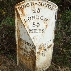
Milepost, 60m W of jct with B4452
3.1 km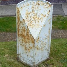
Milepost, in front of Middle Cottage
4.5 kmRecensioni
Ha visitato questo luogo? Tocchi le stelle per valutarlo e condividere la Sua esperienza o foto con la community! Provalo ora! Puoi annullarlo in qualsiasi momento.
Scopri tesori nascosti ad ogni viaggio!
Da piccoli caffè caratteristici a panorami nascosti, fuggi dalla folla e scova i posti che fanno davvero per te. La nostra app ti semplifica tutto: ricerca vocale, filtri furbi, percorsi ottimizzati e dritte autentiche da viaggiatori di tutto il mondo. Scaricala subito per vivere l'avventura sul tuo smartphone!

Un nuovo approccio alla scoperta turistica❞
— Le Figaro
Tutti i luoghi che meritano di essere esplorati❞
— France Info
Un’escursione su misura in pochi clic❞
— 20 Minutes