
Reach, village in the United Kingdom
Posizione: East Cambridgeshire
Sito web: http://reach-village.co.uk
Coordinate GPS: 52.27000,0.30000
Ultimo aggiornamento: 6 marzo 2025 alle 22:30

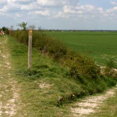
Devil's Dyke
189 m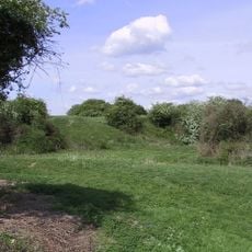
Burwell Castle
1.7 km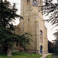
Church of St Cyriac and St Julitta, Swaffham Prior
2.1 km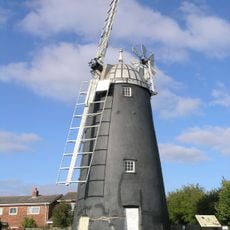
Burwell Museum
2.1 km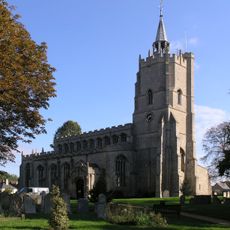
Church of St Mary the Virgin
1.9 km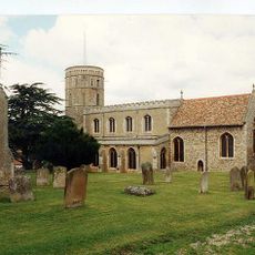
Church of St Mary
2.1 km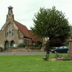
Church of St Etheldreda and The Holy Trinity
385 m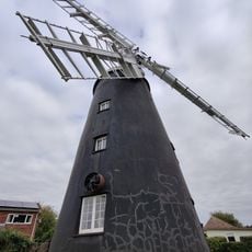
Burwell Museum and Windmill
2 km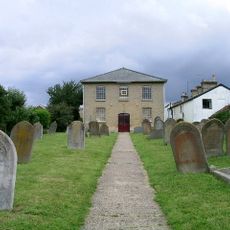
Burwell Baptist Chapel
2.4 km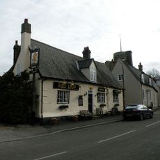
Red Lion Public House
2 km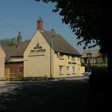
The Anchor
2.3 km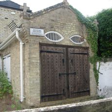
Pound, Lock Up And Fire Engine House
1.9 km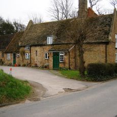
Shenstone House
2.3 km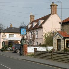
Five Bells
1.9 km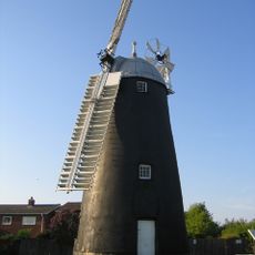
Stevens Mill
2 km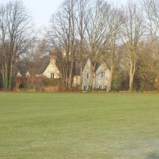
Tan House
1.8 km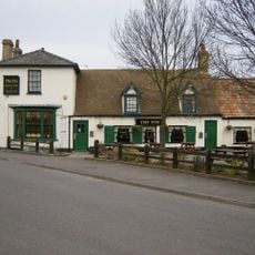
The Fox
2 km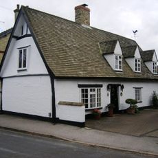
Oak Farm
2.1 km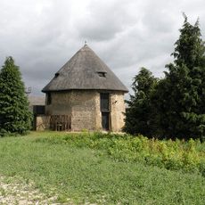
Mill To North Of Meltons Farmhouse
2.2 km
121, North Street
2.8 km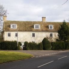
Isacsons
2 km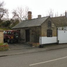
The Forge
1.9 km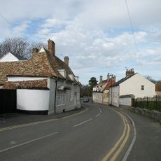
Well House
2.1 km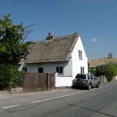
119, North Street
2.7 km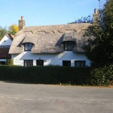
Hythe House
1.9 km
War Memorial
381 m
Windmill, To Rear Of The Mill House
1.8 km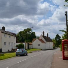
K6 Telephone Kiosk
1.9 kmRecensioni
Ha visitato questo luogo? Tocchi le stelle per valutarlo e condividere la Sua esperienza o foto con la community! Provalo ora! Puoi annullarlo in qualsiasi momento.
Scopri tesori nascosti ad ogni viaggio!
Da piccoli caffè caratteristici a panorami nascosti, fuggi dalla folla e scova i posti che fanno davvero per te. La nostra app ti semplifica tutto: ricerca vocale, filtri furbi, percorsi ottimizzati e dritte autentiche da viaggiatori di tutto il mondo. Scaricala subito per vivere l'avventura sul tuo smartphone!

Un nuovo approccio alla scoperta turistica❞
— Le Figaro
Tutti i luoghi che meritano di essere esplorati❞
— France Info
Un’escursione su misura in pochi clic❞
— 20 Minutes