
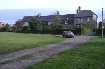
Burdon, village in United Kingdom
Posizione: Sunderland
Coordinate GPS: 54.85500,-1.39700
Ultimo aggiornamento: 10 aprile 2025 alle 17:13

Seaham Hall
3.3 km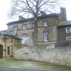
Doxford House
2 km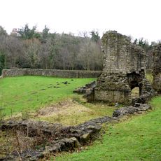
Dalden Tower
4.1 km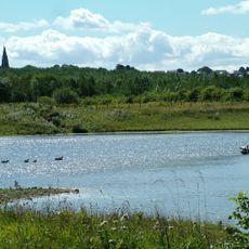
Rainton Meadows
5 km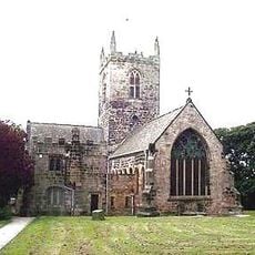
St Michael and All Angels Church, Houghton-le-Spring
4.8 km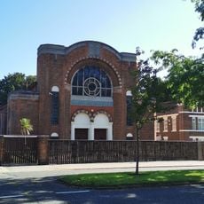
Sunderland Synagogue
4.7 km
St George's Church, Sunderland
5 km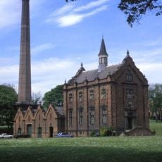
Ryhope Engines Museum
1.9 km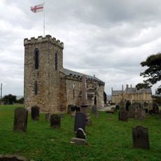
Church of St Mary, Seaham
3.5 km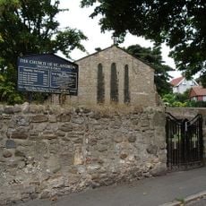
Church of St Andrew
3.8 km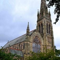
Church of St John and Attached Hall
4.6 km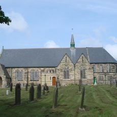
Church of St Matthew
4.8 km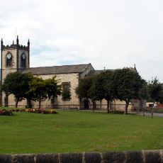
Church of St John the Evangelist
4.4 km
Christ Church
2.7 km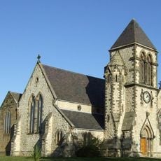
Church of St Paul
2.8 km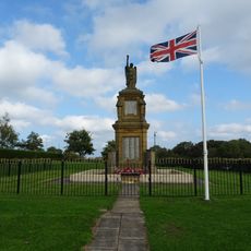
War Memorial in New Seaham Welfare Park
2.5 km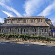
Church of St Mary Magdalen
3.9 km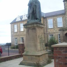
Statue of Charles Vane-Tempest-Stewart, 6th Marquess of Londonderry
4.6 km
Police Station
4.6 km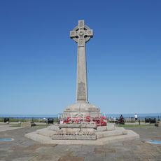
Seaham War Memorial
4.5 km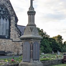
Memorial To 1880 Colliery Disater, In Garden Of Rest, 12 Metres East Of Christ Church
2.7 km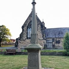
Memorial To 1871 Colliery Disaster, In Garden Of Rest, 20 Metres East Of Christ Church
2.7 km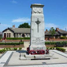
War Memorial, Village Green
4.2 km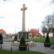
War Memorial at West End
2.9 km
Greystones
3.6 km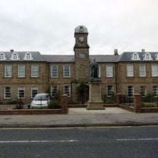
The Londonderry Institute And Forecourt Wall
4.3 km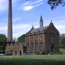
Engine House And Boiler House At Ryhope Pumping Station
1.9 km
Chimney To West Of Boiler House At Ryhope Pumping Station
1.9 kmRecensioni
Ha visitato questo luogo? Tocchi le stelle per valutarlo e condividere la Sua esperienza o foto con la community! Provalo ora! Puoi annullarlo in qualsiasi momento.
Scopri tesori nascosti ad ogni viaggio!
Da piccoli caffè caratteristici a panorami nascosti, fuggi dalla folla e scova i posti che fanno davvero per te. La nostra app ti semplifica tutto: ricerca vocale, filtri furbi, percorsi ottimizzati e dritte autentiche da viaggiatori di tutto il mondo. Scaricala subito per vivere l'avventura sul tuo smartphone!

Un nuovo approccio alla scoperta turistica❞
— Le Figaro
Tutti i luoghi che meritano di essere esplorati❞
— France Info
Un’escursione su misura in pochi clic❞
— 20 Minutes