
Stody, village in the United Kingdom
Posizione: North Norfolk
Coordinate GPS: 52.87291,1.05409
Ultimo aggiornamento: 3 marzo 2025 alle 22:00
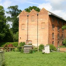
Letheringsett Watermill
3.8 km
Letheringsett Brewery watermill
3.9 km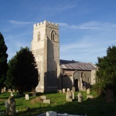
St Lawrence Parish Church, Hunworth
996 m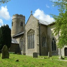
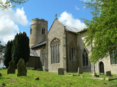
Church of St Mary
100 m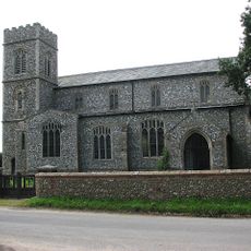
Church of St Peter and St Paul
3.8 km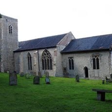
Church of St Maurice
1.8 km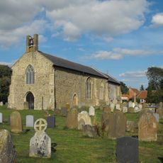
Church of All Saints
2.5 km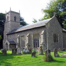
Church of St Andrew
2 km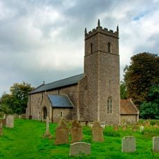
Church of All Saints
1.4 km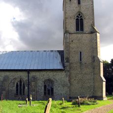
Church of All Saints
3.1 km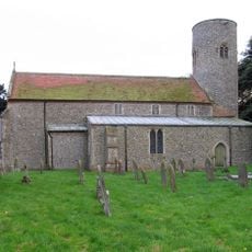
Church of St Andrew
4 km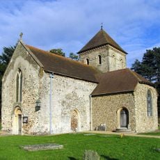
Church of St Peter, Melton Constable
3.5 km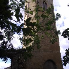
Remains of Former Parish Church of St Peter and St Paul
3 km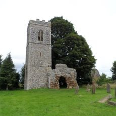
Church of St Mary (Ruins)
1.9 km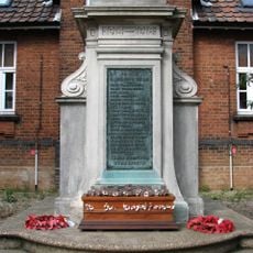
Melton Constable War Memorial
2.2 km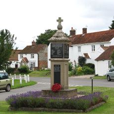
Edgefield War Memorial
4.1 km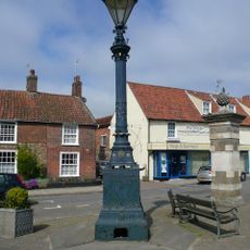
Signpost
4.2 km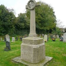
Briston War Memorial
2.5 km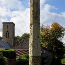
Sharrington village cross
3 km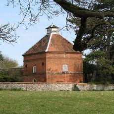
Dovecote, Circa 30 Metres South East Of Thornage Hall
1.6 km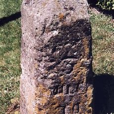
Milestone, S of "Newlands", Norwich Road, next to road sign
4.2 km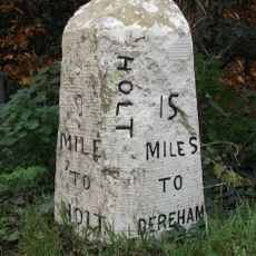
Milestone, by Oakhill House
2.7 km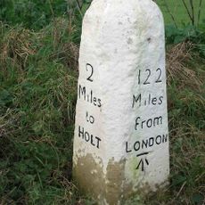
Milestone, c.halfway between lane to Hunworth to S, and Hill House
1.7 km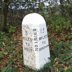
Milestone, 20yds S of house called "Milestone" on E side
1.1 km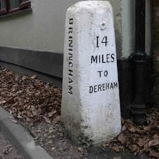
Milestone, by Stables Cottage
2.1 km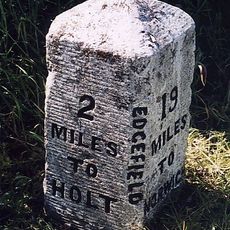
Milestone, opp. Valley Farm
3.4 km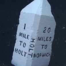
Milestone, 60yds N of FP style, c.1/2mile S of Holt Country Park entrance
3.3 km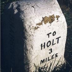
Milestone, 200yds E of road SP Sharrington Village Hall
3.3 kmRecensioni
Ha visitato questo luogo? Tocchi le stelle per valutarlo e condividere la Sua esperienza o foto con la community! Provalo ora! Puoi annullarlo in qualsiasi momento.
Scopri tesori nascosti ad ogni viaggio!
Da piccoli caffè caratteristici a panorami nascosti, fuggi dalla folla e scova i posti che fanno davvero per te. La nostra app ti semplifica tutto: ricerca vocale, filtri furbi, percorsi ottimizzati e dritte autentiche da viaggiatori di tutto il mondo. Scaricala subito per vivere l'avventura sul tuo smartphone!

Un nuovo approccio alla scoperta turistica❞
— Le Figaro
Tutti i luoghi che meritano di essere esplorati❞
— France Info
Un’escursione su misura in pochi clic❞
— 20 Minutes