
Fillongley, village and civil parish in Warwickshire, England, United Kingdom
Posizione: North Warwickshire
Sito web: http://community-council.org.uk/Fillongley
Coordinate GPS: 52.48200,-1.58800
Ultimo aggiornamento: 7 marzo 2025 alle 09:53
Maxstoke Priory
4.6 km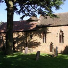
Church of St Mary
2.9 km
Church of St Wilfred
3.4 km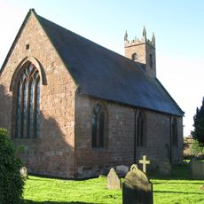
Church of St Michael and All Angels
4.5 km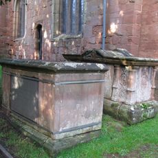
5 Table Tombs South And East Of Chancel And South Of Nave, Churchyard Of Church Of St Mary And All Saints
47 m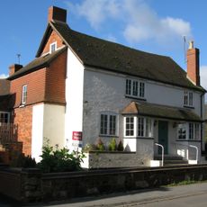
Butchers Public House
38 m
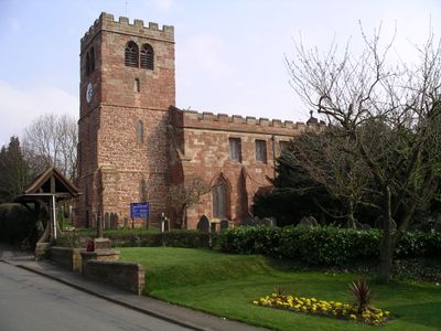
Church of St Mary and All Saints
35 m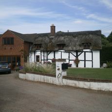
Didgley Cottage
623 m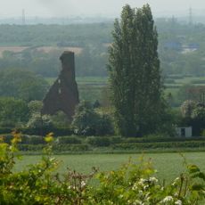
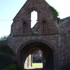
Remains of Tower and Walls of Monastic Church Approximately 250 Metres South of Priory Farmhouse
4.6 km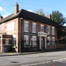
The Manor Public House
106 m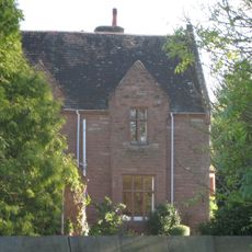
The Old Rectory
4.7 km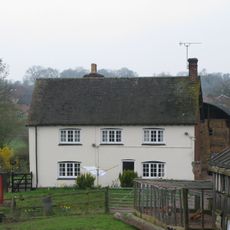
Berryfields Farmhouse
552 m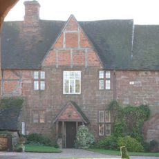
Priory Farmhouse
4.6 km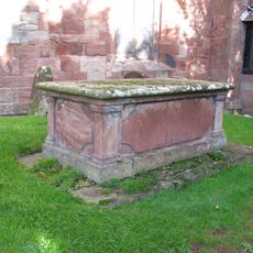
Chest Tomb, 2 Metres South Of South West Corner Of Nave, Church Of St Mary And All Saints
34 m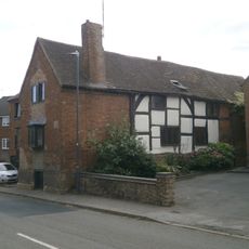
Alpha House
51 m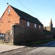
Outer Gatehouse and Attached Precinct Walls and Barn 200 Metres North of Priory Farmhouse
4.6 km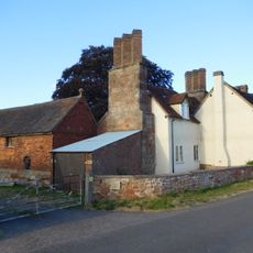
Stable Block, At Colliers Oak Farm
2.4 km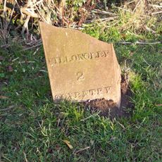
Milepost Approximately 12 Metres North West Of Slowley Green Cottage (Not Included)
3 km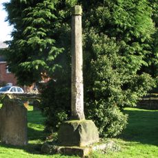
Churchyard cross, St Michael's churchyard
4.5 km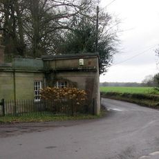
The Lodge At Fillongley Hall
1.3 km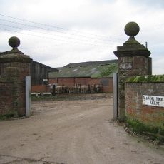
Gatepier, West Side Of Entrance To Manor House Farm
1.3 km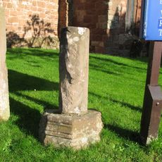
Part Of Churchyard Cross, 6 Metres South Of South West Corner Of Tower Of Church Of St Mary And All Saints
37 m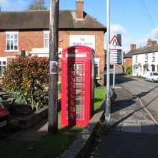
K6 Telephone Kiosk
126 m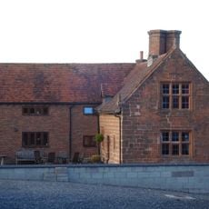
Stone House Farmhouse
2 km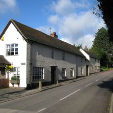
Fillongley Butchers, 20 Metres North Of Butchers Public House
35 m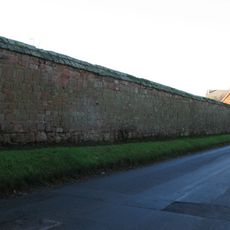
Precinct Wall, East of Outer Gatehouse and Bounding Churchyard of St Michael and All Saints on the West
4.5 km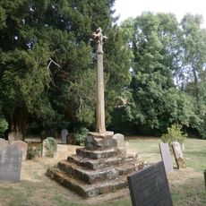
Churchyard Cross, 10 Metres South Of Church Of St Mary And All Saints
48 m
Gate Pier, East Side Of Entrance To Manor House Farm
1.2 kmHa visitato questo luogo? Tocchi le stelle per valutarlo e condividere la Sua esperienza o foto con la community! Provalo ora! Puoi annullarlo in qualsiasi momento.
Scopri tesori nascosti ad ogni viaggio!
Da piccoli caffè caratteristici a panorami nascosti, fuggi dalla folla e scova i posti che fanno davvero per te. La nostra app ti semplifica tutto: ricerca vocale, filtri furbi, percorsi ottimizzati e dritte autentiche da viaggiatori di tutto il mondo. Scaricala subito per vivere l'avventura sul tuo smartphone!

Un nuovo approccio alla scoperta turistica❞
— Le Figaro
Tutti i luoghi che meritano di essere esplorati❞
— France Info
Un’escursione su misura in pochi clic❞
— 20 Minutes