
Alvescot, insediamento in Inghilterra
Posizione: West Oxfordshire
Confina con: Shilton, Kencot, Broadwell, Clanfield, Black Bourton, Carterton
Sito web: http://wospweb.com/site/ALVESCOT-PARISH-COUNCIL
Coordinate GPS: 51.74200,-1.59100
Ultimo aggiornamento: 6 marzo 2025 alle 05:44

St Matthew's Church, Langford
4.2 km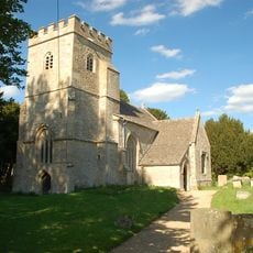
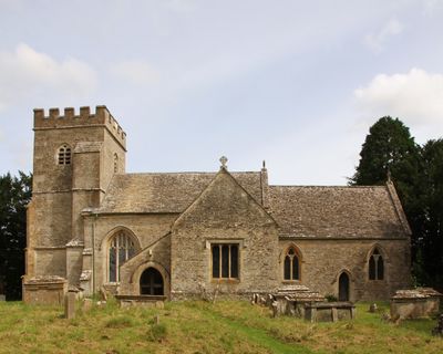
Church of St Peter
994 m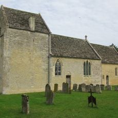
Church of St Peter
4.9 km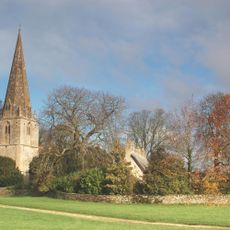
Church of St Peter and St Paul
3.2 km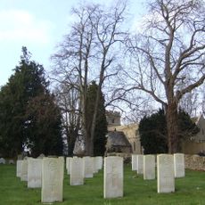
Church of St Mary the Virgin
729 m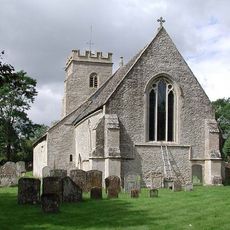
Church of the Holy Rood
3.8 km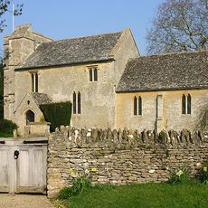
Church of St George
2.9 km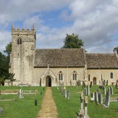
Church of St Stephen
2.7 km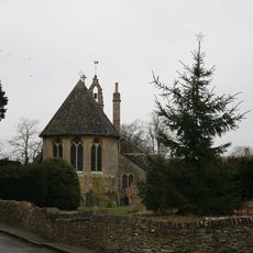
Church of St Peter, Filkins
4.7 km
Broughton Poggs Mill
4.9 km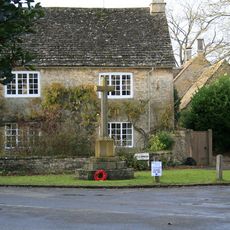
Langford War Memorial
4.1 km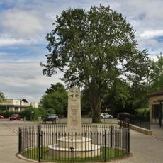
Carterton War Memorial
1.9 km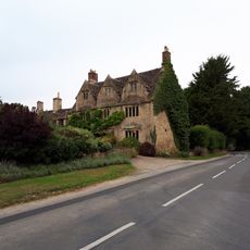
Plough Hotel
2.8 km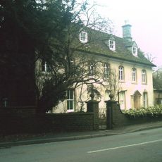
Kencot House
2.8 km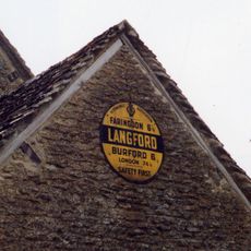
Stonecroft
4.1 km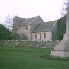
Kencot War Memorial, West Oxfordshire
2.9 km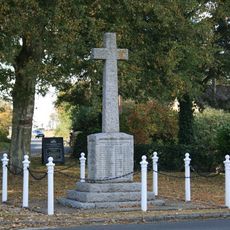
Clanfield War Memorial, Oxfordshire
2.8 km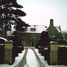
Broadwell House
3.1 km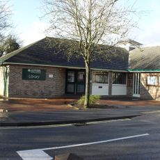
Carterton Library
1.9 km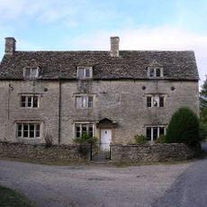
Peartree Farmhouse
4.3 km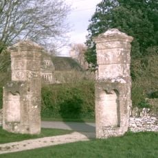
Gatepier 145 Metres To South East Of Broadwell Manor
3.2 km
Gatepier 150 Metres To South East Of Broad Well Manor
3.2 km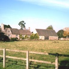
Manor Farmhouse
3.1 km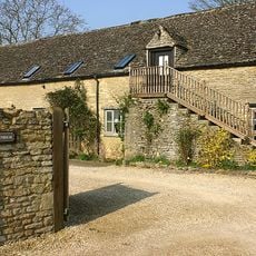
Malt House
2.8 km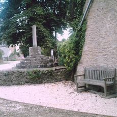
Village Cross
3.2 km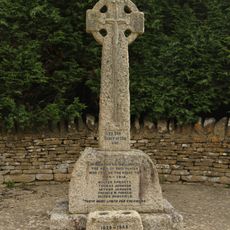
Black Bourton War Memorial
950 m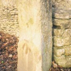
Milestone, Shilton Road; by No.26, N of garage
3.1 km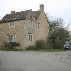
The Old Smithy
4.8 kmRecensioni
Ha visitato questo luogo? Tocchi le stelle per valutarlo e condividere la Sua esperienza o foto con la community! Provalo ora! Puoi annullarlo in qualsiasi momento.
Scopri tesori nascosti ad ogni viaggio!
Da piccoli caffè caratteristici a panorami nascosti, fuggi dalla folla e scova i posti che fanno davvero per te. La nostra app ti semplifica tutto: ricerca vocale, filtri furbi, percorsi ottimizzati e dritte autentiche da viaggiatori di tutto il mondo. Scaricala subito per vivere l'avventura sul tuo smartphone!

Un nuovo approccio alla scoperta turistica❞
— Le Figaro
Tutti i luoghi che meritano di essere esplorati❞
— France Info
Un’escursione su misura in pochi clic❞
— 20 Minutes