
Upwaltham, village in United Kingdom
Posizione: Chichester
Coordinate GPS: 50.91526,-0.66016
Ultimo aggiornamento: 4 marzo 2025 alle 10:39
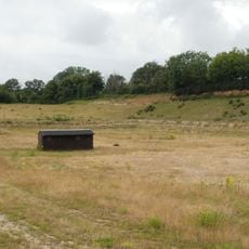
Eartham Pit
5.6 km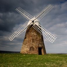
Halnaker Windmill
4.7 km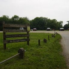
Goodwood Country Park
5.4 km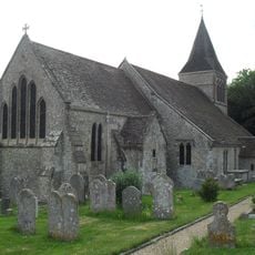
The Parish Church of St Mary
5.7 km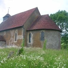
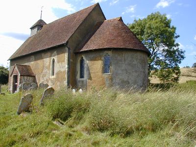
St Mary The Virgin, Upwaltham
140 m
The Parish Church of All Saints
3.8 km
The Parish Church of St Giles
3.4 km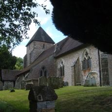
The Parish Church of St John the Baptist
4 km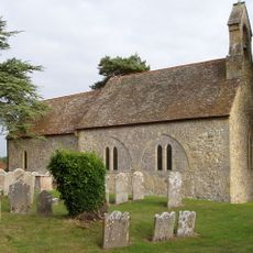
The Parish Church of St Mary
3.7 km
The Parish Church of St Margaret
4.4 km
The Parish Church of St Peter
2.6 km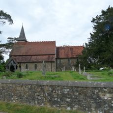
The Parish Church of the Holy Cross
4.1 km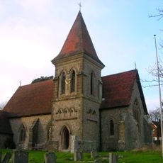
Church of Holy Trinity, Duncton
4.2 km
Heyshott Down round barrow cemetery and cross dykes
4.5 km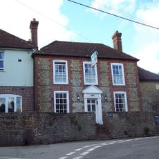
The White Horse Inn
3.9 km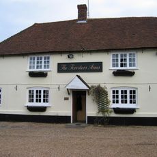
The Foresters Public House
4.2 km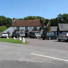
The Cricketers Inn
3.7 km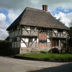
The Yeoman's House
4.3 km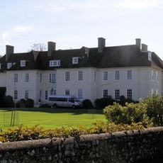
Eartham House
4.5 km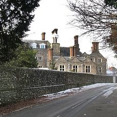
Slindon House
5.5 km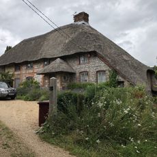
The Thatch
3.7 km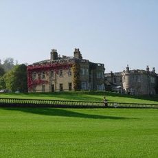
Lavington Park
2.6 km
Bignor Mill
4.1 km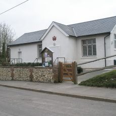
The Village Hall
3.9 km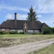
Homes Of Rest
3.8 km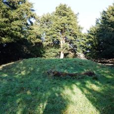
Bowl barrow on Graffham Down, 200m south of Limekiln Bottom
3.3 km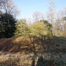
Bowl barrow and bell barrow on Graffham Down
3.8 km
Bowl barrow on Graffham Down
3.6 kmRecensioni
Ha visitato questo luogo? Tocchi le stelle per valutarlo e condividere la Sua esperienza o foto con la community! Provalo ora! Puoi annullarlo in qualsiasi momento.
Scopri tesori nascosti ad ogni viaggio!
Da piccoli caffè caratteristici a panorami nascosti, fuggi dalla folla e scova i posti che fanno davvero per te. La nostra app ti semplifica tutto: ricerca vocale, filtri furbi, percorsi ottimizzati e dritte autentiche da viaggiatori di tutto il mondo. Scaricala subito per vivere l'avventura sul tuo smartphone!

Un nuovo approccio alla scoperta turistica❞
— Le Figaro
Tutti i luoghi che meritano di essere esplorati❞
— France Info
Un’escursione su misura in pochi clic❞
— 20 Minutes