
Rowston, human settlement in United Kingdom
Posizione: North Kesteven
Coordinate GPS: 53.09410,-0.38253
Ultimo aggiornamento: 3 marzo 2025 alle 03:11
RAF Digby
5.3 km
North Ings Farm Museum
4 km
Metheringham Windmill
5.2 km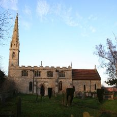
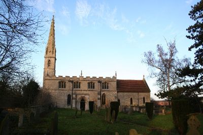
Church of St Clement
23 m
Metheringham Airfield Visitor Centre
3.6 km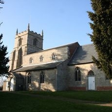
Church of St Andrew
4.2 km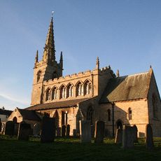
Church of St Thomas A Becket
1.7 km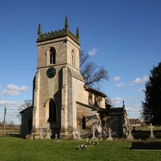
Church of St Mary
3.3 km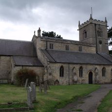
Church of St Wilfred
5.1 km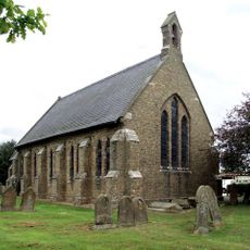
Church of St Oswald
4.7 km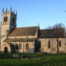
Church of St Oswald
3.9 km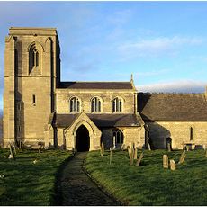
Church of St James and St John
3.2 km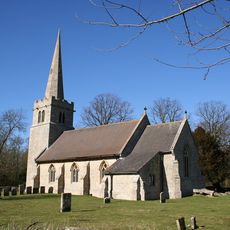
Church of St Hybald
3.3 km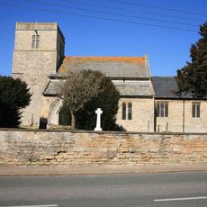
Church of the Holy Cross
2.2 km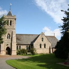
Holy Trinity Church
5.1 km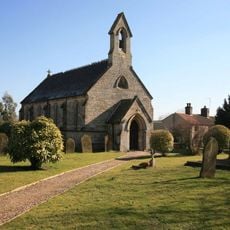
Church of the Holy Cross
1.4 km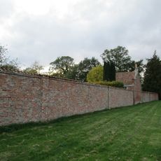
Orangery And Attached Garden Wall At Thorpe Tilney Hall
3.5 km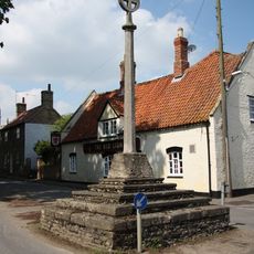
Digby village cross
1.7 km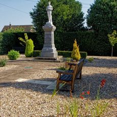
Metheringham War Memorial
5.2 km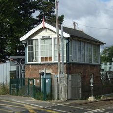
Blankney Signal Box
5 km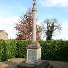
Walcott War Memorial
4.7 km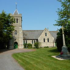
Martin War Memorial
5.1 km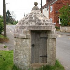
Village Lock Up
1.7 km
Dorrington House
3.6 km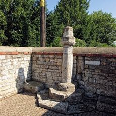
Market Cross
5.2 km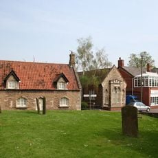
2, Manor Street
5.3 km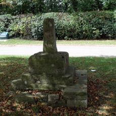
Rowston village cross
123 m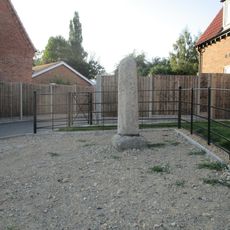
Cross 3 Metres South West Of No 73
3.5 kmRecensioni
Ha visitato questo luogo? Tocchi le stelle per valutarlo e condividere la Sua esperienza o foto con la community! Provalo ora! Puoi annullarlo in qualsiasi momento.
Scopri tesori nascosti ad ogni viaggio!
Da piccoli caffè caratteristici a panorami nascosti, fuggi dalla folla e scova i posti che fanno davvero per te. La nostra app ti semplifica tutto: ricerca vocale, filtri furbi, percorsi ottimizzati e dritte autentiche da viaggiatori di tutto il mondo. Scaricala subito per vivere l'avventura sul tuo smartphone!

Un nuovo approccio alla scoperta turistica❞
— Le Figaro
Tutti i luoghi che meritano di essere esplorati❞
— France Info
Un’escursione su misura in pochi clic❞
— 20 Minutes