
Ruyton-XI-Towns, village and civil parish in Shropshire, UK
Posizione: Shropshire
Coordinate GPS: 52.79350,-2.89900
Ultimo aggiornamento: 7 marzo 2025 alle 01:00
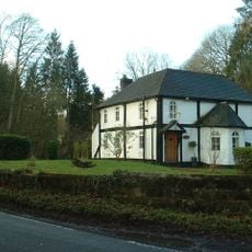
Woodhouse
7.4 km
Knockin telescope
6.5 km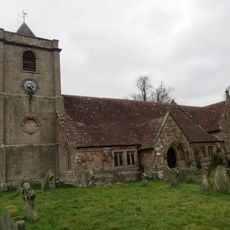
Church of St Michael
6.2 km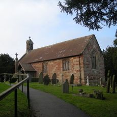
Church of Saint Martin
2.6 km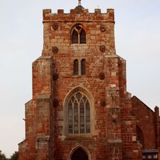
Church of All Saints
2.8 km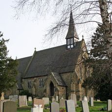
Church of Holy Trinity
4.6 km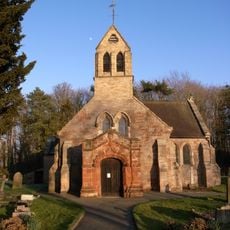
Church of St Mary
6.1 km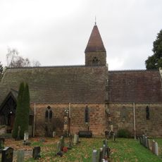
Pradoe Church
4.1 km
Church of St John the Baptist
8 m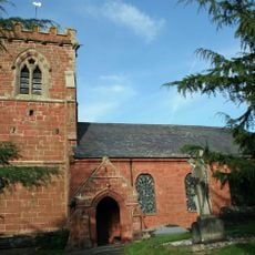
Church of St Mary
5.8 km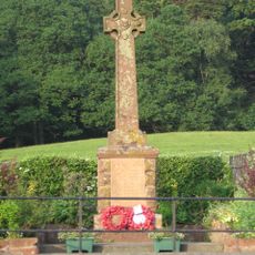
Nesscliffe War Memorial
3.1 km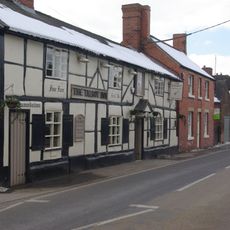
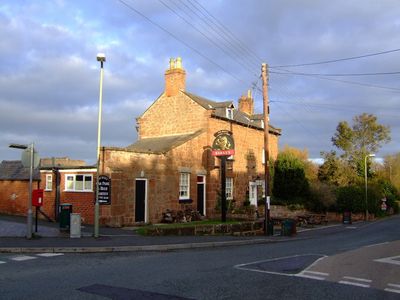
The Talbot Inn
262 m
St Chad
5.4 km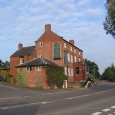
Nesscliffe Hotel
3.2 km
Kynaston's Cave
3 km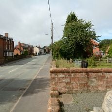
Knockin War Memorial
6.2 km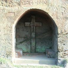
Ruyton-XI-Towns War Memorial
173 m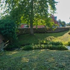
Bridge And Watering Place For Cattle Approximately 50 Metres South Of Church Of St Mary
6.1 km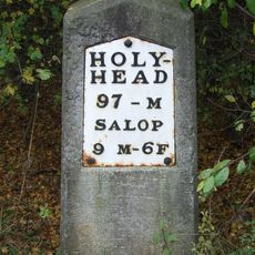
Milestone Approximately 90 Metres To East Of Wolfshead Farmhouse
2.7 km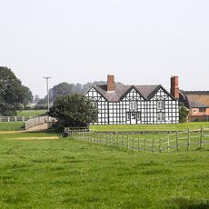
Shade Oak Farmhouse
5.8 km
Milestone At Ngr Sj 3525 2350
4.4 km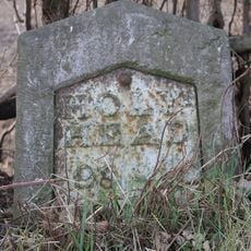
Milestone Approximately 30 Metres South East Of The Junction Between The A5 And Well Lane
2.8 km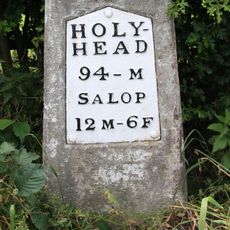
Milestone At Ngr Sj 3487 2503
5.4 km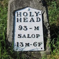
Milestone At Ngr Sj 3417 2643
6.8 km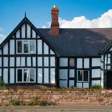
Old House
6.2 km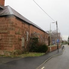
School House
3.1 km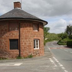
Ye Old Toll House
901 m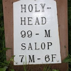
Milestone, by church at SJ397191
3.1 kmRecensioni
Ha visitato questo luogo? Tocchi le stelle per valutarlo e condividere la Sua esperienza o foto con la community! Provalo ora! Puoi annullarlo in qualsiasi momento.
Scopri tesori nascosti ad ogni viaggio!
Da piccoli caffè caratteristici a panorami nascosti, fuggi dalla folla e scova i posti che fanno davvero per te. La nostra app ti semplifica tutto: ricerca vocale, filtri furbi, percorsi ottimizzati e dritte autentiche da viaggiatori di tutto il mondo. Scaricala subito per vivere l'avventura sul tuo smartphone!

Un nuovo approccio alla scoperta turistica❞
— Le Figaro
Tutti i luoghi che meritano di essere esplorati❞
— France Info
Un’escursione su misura in pochi clic❞
— 20 Minutes