
West Rudham, village and civil parish in Norfolk, United Kingdom
Posizione: King's Lynn and West Norfolk
Coordinate GPS: 52.81670,0.70000
Ultimo aggiornamento: 12 aprile 2025 alle 00:03
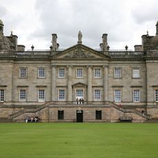
Houghton Hall
3.1 km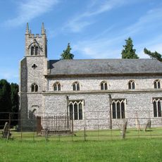
St Martin at Tours' Church, Houghton
2.7 km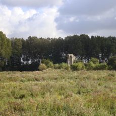
Coxford Priory
3 km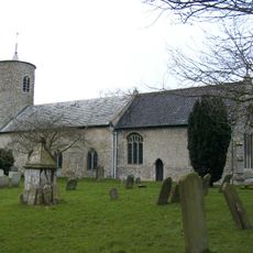
Church of St Mary
5.1 km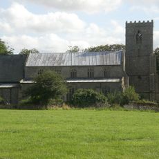
Church of St Lawrence
3.6 km
Church of All Saints
3.4 km
Church of St Margaret
5.7 km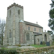
Church of St Andrew, Little Massingham
4.6 km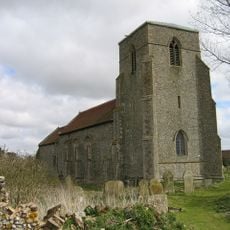
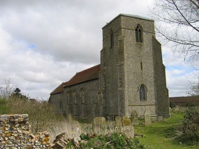
Church of St Peter
158 m
Church of All Saints
5 km
Church of St Mary
856 m
Church of St Mary
5.3 km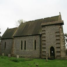
Church of St Margaret
4.6 km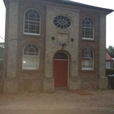
Primitive Methodist Ebenezer Chapel
1.2 km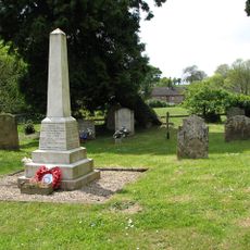
Harpley War Memorial
3.6 km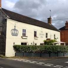
The Crown Public House
828 m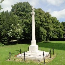
Great Massingham War Memorial
5.3 km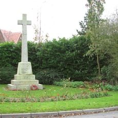
Weasenham War Memorial
6.5 km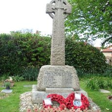
Syderstone War Memorial Cross
5 km
Mulberry Tree House
793 m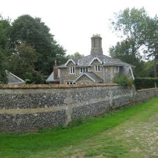
21,22
5.8 km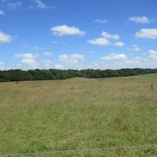
Bell barrow 670m north east of Crow Hall: one of a group of round barrows on Harpley Common
5.9 km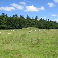
Bowl barrow 900m north east of Crow Hall: one of a group of round barrows on Harpley Common
6.1 km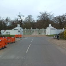
Houghton Hall South Lodges With Gates, Gate Piers And Walls Attached
3 km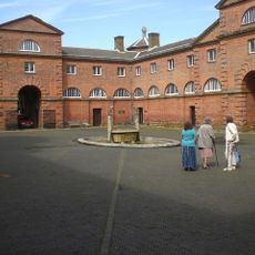
The Square
3.1 km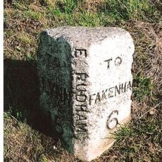
Milestone, 80yds E of jct with Eye Lane
1.4 km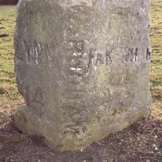
Milestone, opp. drive between "Rosedean" and "Albion House"
336 m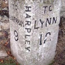
Milestone, Rudham Road, by "Hillcrest",
3.2 kmRecensioni
Ha visitato questo luogo? Tocchi le stelle per valutarlo e condividere la Sua esperienza o foto con la community! Provalo ora! Puoi annullarlo in qualsiasi momento.
Scopri tesori nascosti ad ogni viaggio!
Da piccoli caffè caratteristici a panorami nascosti, fuggi dalla folla e scova i posti che fanno davvero per te. La nostra app ti semplifica tutto: ricerca vocale, filtri furbi, percorsi ottimizzati e dritte autentiche da viaggiatori di tutto il mondo. Scaricala subito per vivere l'avventura sul tuo smartphone!

Un nuovo approccio alla scoperta turistica❞
— Le Figaro
Tutti i luoghi che meritano di essere esplorati❞
— France Info
Un’escursione su misura in pochi clic❞
— 20 Minutes