
Ide, village in Devon, United Kingdom
Posizione: Teignbridge
Coordinate GPS: 50.70000,-3.56667
Ultimo aggiornamento: 3 marzo 2025 alle 09:15
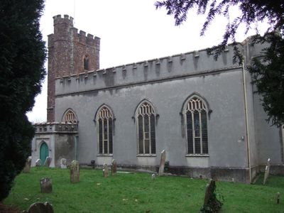
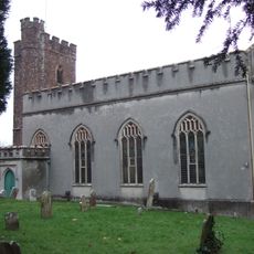
Parish Church of St. Ida
394 m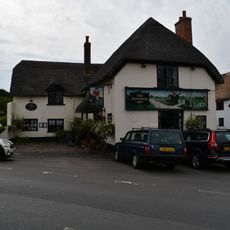
The Huntsman Inn
739 m
Cowick Barton
1.8 km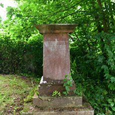
Lester Pedestal Memorial About 19M South West Of Tower Of The Church Of St. Ida
371 m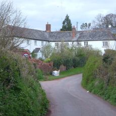
Pengelly's Farmhouse
1.9 km
The Villa
2 km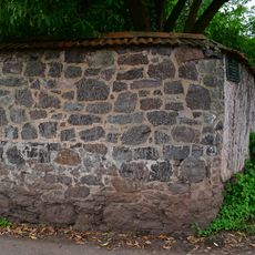
Garden Wall Of Underwood
1.2 km
Underwood Cottage
1.2 km
The Briars
1.7 km
2, 3 And 4, The College
763 m
5 And 6, The College
749 m
Little Bowhay, Shown On Ordnance Survey Map As Bowhay Cottage
1.7 km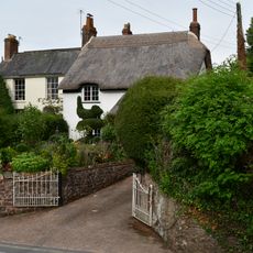
9, High Street
709 m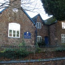
Ide School Including Iron Railings And Gates
676 m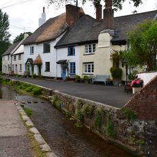
7 And 8, The College
742 m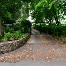
Ide House
1.1 km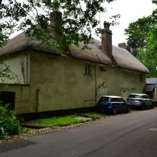
Holmbush Cottage
1.1 km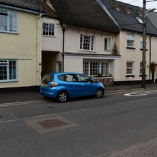
16, Fore Street
807 m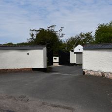
Entrance Gates And Wall Of No 49
1.9 km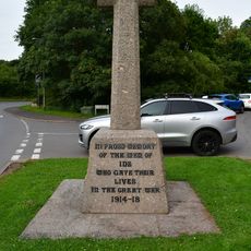
Ide War Memorial
881 m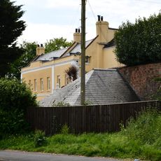
Manor House
1.9 km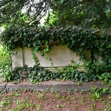
Browning Chest Tomb About 8M East Of The Chancel Of The Church Of St. Ida
410 m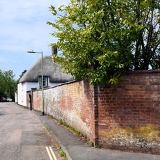
Wall of No 47
1.9 km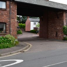
Drake's Farm And St Ida's
784 m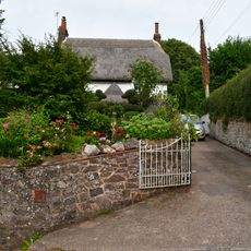
Poplar Cottage
698 m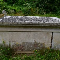
Dudley Chest Tomb About 28M South East Of South East Corner Of Nave Of Church Of St. Ida
420 m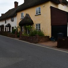
12, High Street
715 m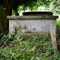
Toll Chest Tomb About 14M South West Of East Gate To Churchyard
425 mRecensioni
Ha visitato questo luogo? Tocchi le stelle per valutarlo e condividere la Sua esperienza o foto con la community! Provalo ora! Puoi annullarlo in qualsiasi momento.
Scopri tesori nascosti ad ogni viaggio!
Da piccoli caffè caratteristici a panorami nascosti, fuggi dalla folla e scova i posti che fanno davvero per te. La nostra app ti semplifica tutto: ricerca vocale, filtri furbi, percorsi ottimizzati e dritte autentiche da viaggiatori di tutto il mondo. Scaricala subito per vivere l'avventura sul tuo smartphone!

Un nuovo approccio alla scoperta turistica❞
— Le Figaro
Tutti i luoghi che meritano di essere esplorati❞
— France Info
Un’escursione su misura in pochi clic❞
— 20 Minutes