
Buttermere, village and civil parish in Wiltshire, UK
Posizione: Wiltshire
Coordinate GPS: 51.34796,-1.51176
Ultimo aggiornamento: 1 aprile 2025 alle 06:46
Ham Hill, Wiltshire
999 m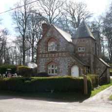
Fosbury House
4.1 km
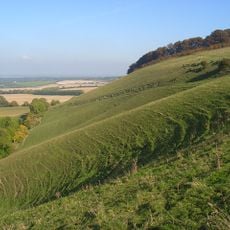
Combe Wood and Linkenholt Hanging
2.3 km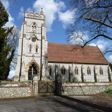
Christ Church
3.7 km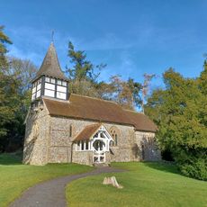
Church of St Peter
3.8 km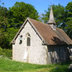
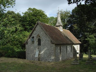
Church of St James
220 m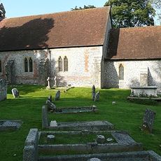
Church of St Mary
4.3 km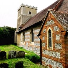
Church of All Saints
2.2 km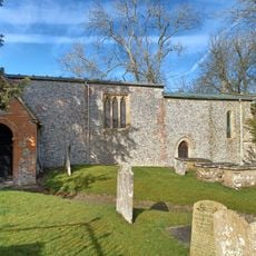
Church of St Swithin
2.7 km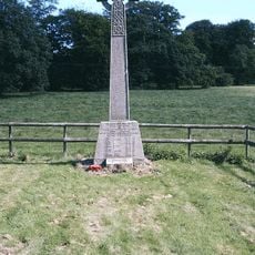
Fosbury and Oxenwood War Memorial
3.8 km
Berneval Cottage
4.1 km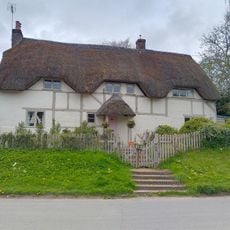
Well Cottage
2.2 km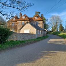
Manor Farmhouse
4 km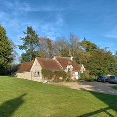
Old School
3.7 km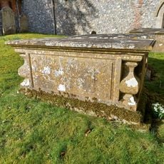
Whistler Tomb, 5 Metres South Of South Door To Chancel
2.7 km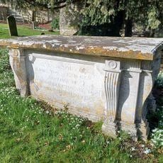
Townsend Tomb, 1 Metre North West Of Rawlinson Tomb
2.7 km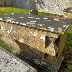
Whistler Tomb, 3 Metres South Of South Door To Chancel
2.7 km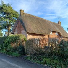
Cleve Hill
3.8 km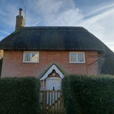
17, Linkenholt
3.7 km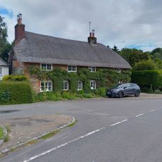
Applethatch
4.5 km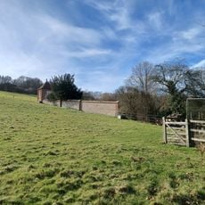
Walls Around Garden At West Of Manor Farm House
2.7 km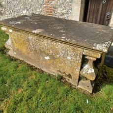
Whistler Tomb, 1 Metre South Of South Door To Chancel
2.7 km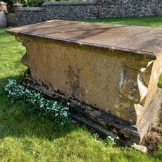
Whistler Tomb, 20 Metres South Of South Door To Chancel
2.7 km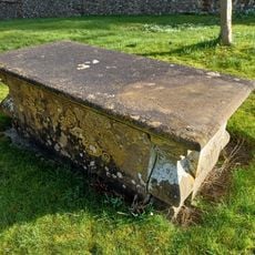
Whistler Tomb, 20 Metres South Of South Door Of Chancel
2.7 km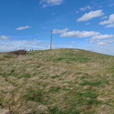
Long barrow at Combe Gibbet, Gallows Down.
2.6 km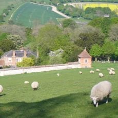
Garden House At Manor Farm In South West Corner Of Garden Wall
2.7 km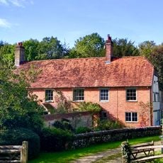
Wrights Farm House
2.6 km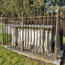
Rawlinson Tomb, 9 Metres South Of South Porch
2.7 kmRecensioni
Ha visitato questo luogo? Tocchi le stelle per valutarlo e condividere la Sua esperienza o foto con la community! Provalo ora! Puoi annullarlo in qualsiasi momento.
Scopri tesori nascosti ad ogni viaggio!
Da piccoli caffè caratteristici a panorami nascosti, fuggi dalla folla e scova i posti che fanno davvero per te. La nostra app ti semplifica tutto: ricerca vocale, filtri furbi, percorsi ottimizzati e dritte autentiche da viaggiatori di tutto il mondo. Scaricala subito per vivere l'avventura sul tuo smartphone!

Un nuovo approccio alla scoperta turistica❞
— Le Figaro
Tutti i luoghi che meritano di essere esplorati❞
— France Info
Un’escursione su misura in pochi clic❞
— 20 Minutes