
St Paul's Walden, village in Hertfordshire, England, UK
Posizione: North Hertfordshire
Coordinate GPS: 51.88610,-0.26667
Ultimo aggiornamento: 3 marzo 2025 alle 19:00
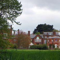
St Paul's Walden Bury
849 m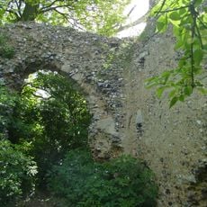
Minsden Chapel
2.4 km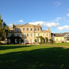
Stagenhoe
992 m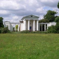
New Saint Lawrence Church
5.4 km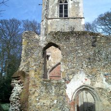
Old St Lawrence Church, Ayot St Lawrence
5.4 km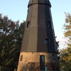
Breachwood Green Mill
4.9 km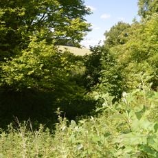
Hill End Pit
1.7 km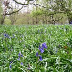
Wain Wood
3.5 km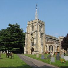
Parish Church of St Peter and St Paul
4.1 km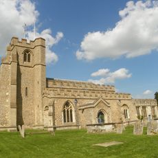
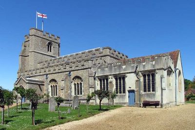
All Saints Church, St Paul's Walden
145 m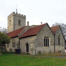
Parish Church of St Giles
4.3 km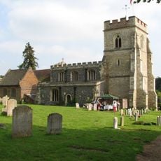
Church of St Mary
3.6 km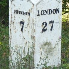
Milepost At Junction Of Driver's End Lane And Park Lane
3.9 km
Breachwood Green Baptist Church
4.3 km
Church of St Martin
3 km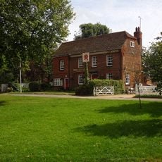
The Red Lion Public House
2.8 km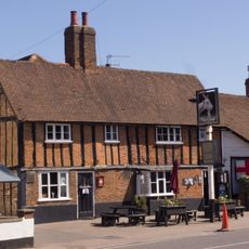
The Goat Public House
4.6 km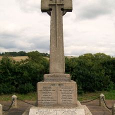
St Paul's Walden War Memorial
1.4 km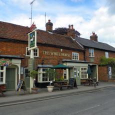
Number 20, The White Horse Public House, Country Properties And Forge View
4.2 km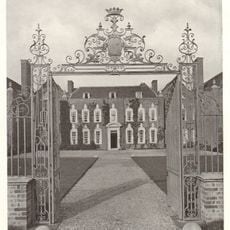
Temple Dinsley House
2.8 km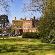
Ayot House
5.3 km
Barn At Hoo End Farm (50 Metres To South Of House)
2.8 km
Winchhill Farmhouse
5.6 km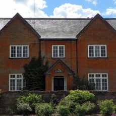
Codicote Bottom Farmhouse
4.5 km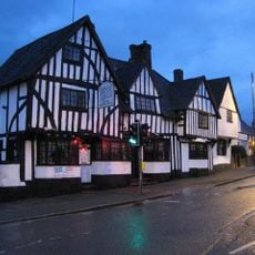
The George And Dragon Restaurant
4.6 km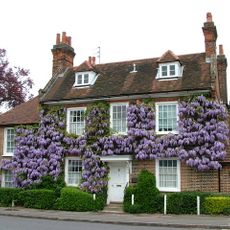
The Pond House
4.5 km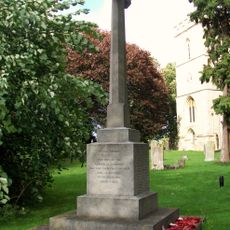
Codicote War Memorial
4.3 km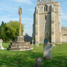
Churchyard Cross At Church Of All Saints
181 mRecensioni
Ha visitato questo luogo? Tocchi le stelle per valutarlo e condividere la Sua esperienza o foto con la community! Provalo ora! Puoi annullarlo in qualsiasi momento.
Scopri tesori nascosti ad ogni viaggio!
Da piccoli caffè caratteristici a panorami nascosti, fuggi dalla folla e scova i posti che fanno davvero per te. La nostra app ti semplifica tutto: ricerca vocale, filtri furbi, percorsi ottimizzati e dritte autentiche da viaggiatori di tutto il mondo. Scaricala subito per vivere l'avventura sul tuo smartphone!

Un nuovo approccio alla scoperta turistica❞
— Le Figaro
Tutti i luoghi che meritano di essere esplorati❞
— France Info
Un’escursione su misura in pochi clic❞
— 20 Minutes