
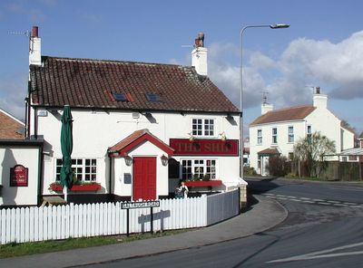
Keyingham, village in the United Kingdom
Posizione: East Riding of Yorkshire
Coordinate GPS: 53.71120,-0.11260
Ultimo aggiornamento: 5 maggio 2025 alle 08:17
Fort Paull
7.3 km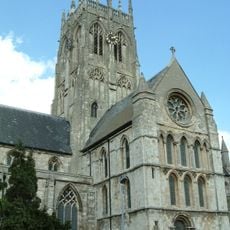
St. Augustine's Church, Hedon
6.6 km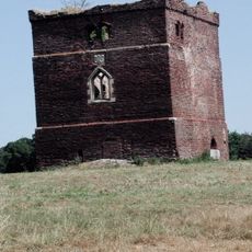
Paull Holme Tower
6.2 km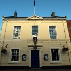
Hedon Town Hall
6.5 km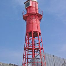
Thorngumbald Clough High Lighthouse
7.5 km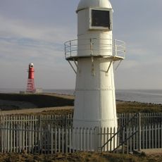
Thorngumbald Clough Low Lighthouse
7.5 km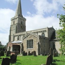
Church of St Wilfred
2.4 km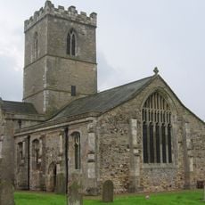
Church of St Andrew
7.4 km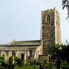
Church of All Saints
3.1 km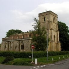
Church of St Nicholas
150 m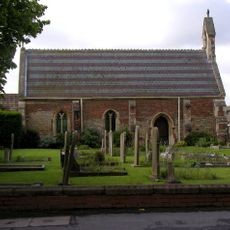
Church of St Mary
4 km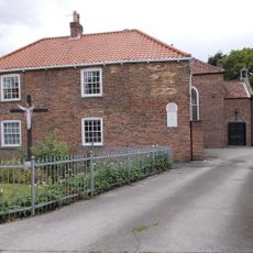
Church of St Mary and St Joseph
6.4 km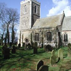
Church of All Saints
3.1 km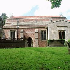
Church of St Germain
5.5 km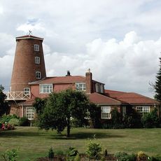
Windmill Tower At Mill Nurseries
870 m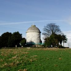
Constable Mausoleum
3.3 km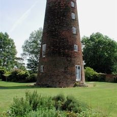
Windmill
5.4 km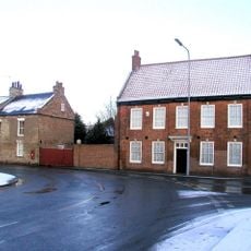
The Old Hall
6.3 km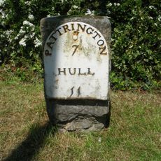
Milestone Approximately 30 Metres South Of Southlands
3 km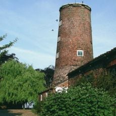
Windmill Tower Approximately 20 Metres South West Of Mill House
286 m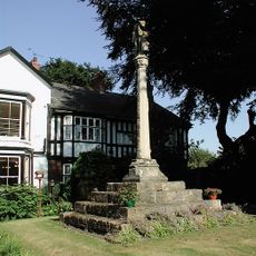
Ravenspurn Cross
6.5 km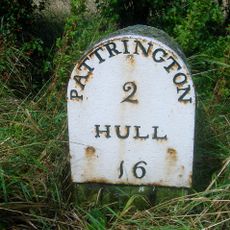
Milestone Approximately 30 Metres North West Of Junction With Winestead Ings Lane
4.5 km
Base Of St Philip's Cross Approximately 10 Centimetres East Of Ebor House
183 m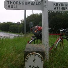
Milestone Approximately 150 Metres North-West Of High Bridge
1.6 km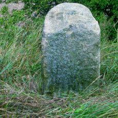
Milestone Approximately 130 Metres East Of Beck Bridge
2.9 km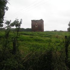
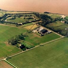
Paull Holme moated site and tower
6.2 km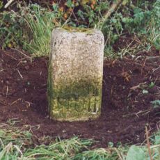
Milestone, Winestead, N of entrance to Manor Farm
5.3 km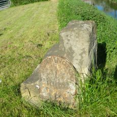
Milestone, Winstead Bridge, 1 mile W of Patrington
5.7 kmRecensioni
Ha visitato questo luogo? Tocchi le stelle per valutarlo e condividere la Sua esperienza o foto con la community! Provalo ora! Puoi annullarlo in qualsiasi momento.
Scopri tesori nascosti ad ogni viaggio!
Da piccoli caffè caratteristici a panorami nascosti, fuggi dalla folla e scova i posti che fanno davvero per te. La nostra app ti semplifica tutto: ricerca vocale, filtri furbi, percorsi ottimizzati e dritte autentiche da viaggiatori di tutto il mondo. Scaricala subito per vivere l'avventura sul tuo smartphone!

Un nuovo approccio alla scoperta turistica❞
— Le Figaro
Tutti i luoghi che meritano di essere esplorati❞
— France Info
Un’escursione su misura in pochi clic❞
— 20 Minutes