
Stratfield Turgis, human settlement in United Kingdom
Posizione: Basingstoke and Deane
Sito web: http://www.stratfieldturgis.org.uk
Sito web: http://stratfieldturgis.org.uk
Coordinate GPS: 51.33190,-1.00100
Ultimo aggiornamento: 3 marzo 2025 alle 00:31
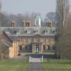
Stratfield Saye House
1.9 km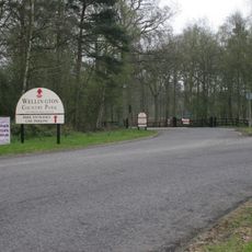
Wellington Country Park
4.2 km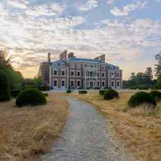
Heckfield Place
3.8 km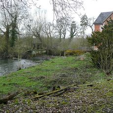
Stanford End Mill and River Loddon
3.8 km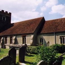
Church of St Michael
2.7 km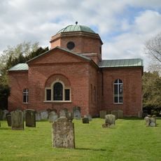
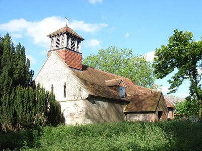
Church of St. Mary the Virgin, Stratfield Saye
1.7 km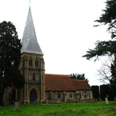
Church of St. Leonard
3.8 km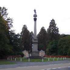
Wellington Monument
2.8 km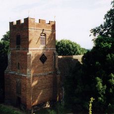
Rotherwick Church
3.7 km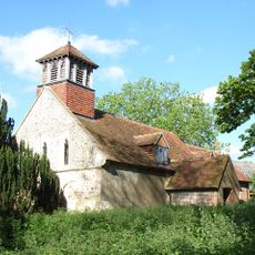
Church of All Saints
754 m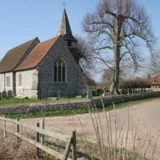
Church of St Mary the Blessed Virgin
1.4 km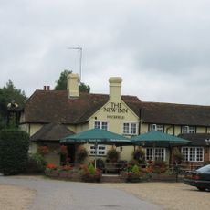
New Inn
2.9 km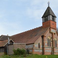
Church of St Mary the Virgin
4.7 km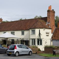
The White Hart Public House
2.3 km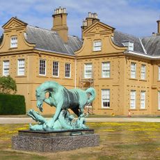
Statue of Horse and Dragon
1.9 km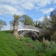
Bridge Over The River Loddon
1.5 km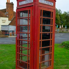
K6 Telephone Kiosk South South West Of The White Hart Public House
2.4 km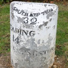
Milestone On A33 At Ngr 682583
2 km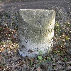
Milestone
2.3 km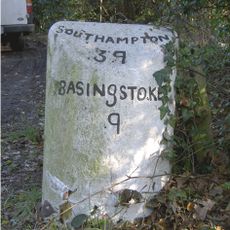
Milestone
3.4 km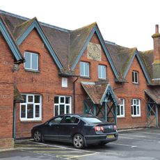
The Old School House
2.4 km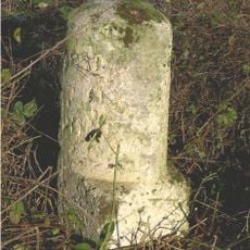
Milestone On A33 At Ngr 695 592
582 m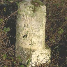
Milestone, Turgis Green
576 m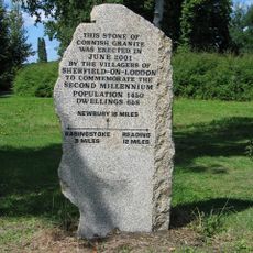
Milestone, Sherfield Village Centre
2.4 km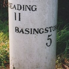
Milestone, Corner of Longbridge close, Housing Estate by Bridge
2 km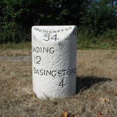
Milestone, jct of old road and Sherfield by-pass
2.9 km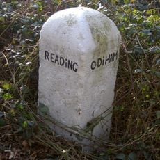
Milestone, Wellington County Park, Riseley
3.9 km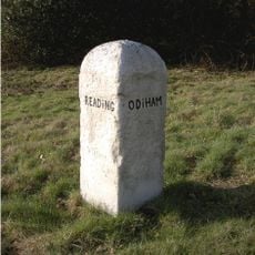
Milestone, Heckfield, by jct. with road to Heckfield Memorial Hall
3 kmRecensioni
Ha visitato questo luogo? Tocchi le stelle per valutarlo e condividere la Sua esperienza o foto con la community! Provalo ora! Puoi annullarlo in qualsiasi momento.
Scopri tesori nascosti ad ogni viaggio!
Da piccoli caffè caratteristici a panorami nascosti, fuggi dalla folla e scova i posti che fanno davvero per te. La nostra app ti semplifica tutto: ricerca vocale, filtri furbi, percorsi ottimizzati e dritte autentiche da viaggiatori di tutto il mondo. Scaricala subito per vivere l'avventura sul tuo smartphone!

Un nuovo approccio alla scoperta turistica❞
— Le Figaro
Tutti i luoghi che meritano di essere esplorati❞
— France Info
Un’escursione su misura in pochi clic❞
— 20 Minutes