
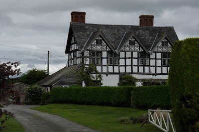
Clear Brook, house in Pembridge, Herefordshire, England; main block is early C17 symmetrically planned gentry house
Posizione: Pembridge
Coordinate GPS: 52.22570,-2.89482
Ultimo aggiornamento: 6 marzo 2025 alle 02:03

Church of St Peter
2.2 km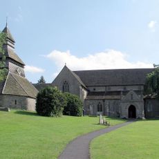
Church of St Mary
944 m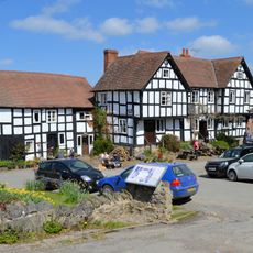
The New Inn
865 m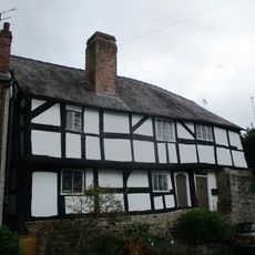
Church House
909 m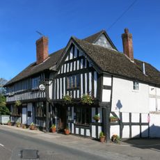
The Greyhound Inn
817 m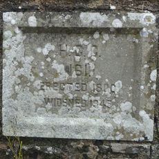
Arrow Bridge (Number 181)
3 km
Bridge Over River Arrow
515 m
Eardisland War Memorial
3 km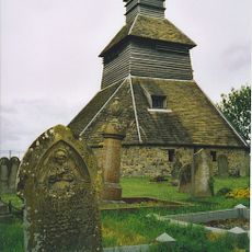
Belfry Approximately 5 Metres North-east Of The Church Of St Mary
913 m
Staick House
3.1 km
Highways
851 m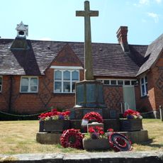
Pembridge War Memorial
872 m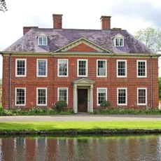
Court Of Noke
1.9 km
The Old Forge
835 m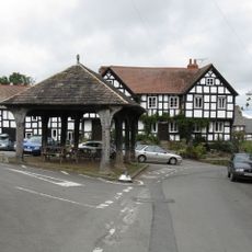
The Market Hall
893 m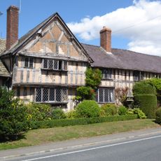
West End Farmhouse
886 m
Pilgrims
819 m
Oak View
857 m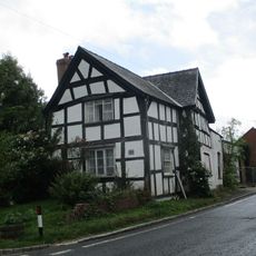
Pump House
872 m
Ye Old Steppes
855 m
Bank House
846 m
2, Bridge Street
732 m
Spire View And Victoria Place
835 m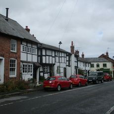
Forsythia And West Leigh
846 m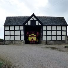
Group Of Adjoining Barns Approximately 30 Metres South-West Of Court House Farmhouse
1 km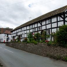
Duppa's Almshouses
828 m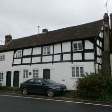
Range Of Three Tenements To West Of The Old Forge
834 m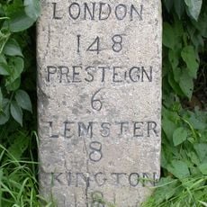
Milestone, 60m E school entrance
3 kmRecensioni
Ha visitato questo luogo? Tocchi le stelle per valutarlo e condividere la Sua esperienza o foto con la community! Provalo ora! Puoi annullarlo in qualsiasi momento.
Scopri tesori nascosti ad ogni viaggio!
Da piccoli caffè caratteristici a panorami nascosti, fuggi dalla folla e scova i posti che fanno davvero per te. La nostra app ti semplifica tutto: ricerca vocale, filtri furbi, percorsi ottimizzati e dritte autentiche da viaggiatori di tutto il mondo. Scaricala subito per vivere l'avventura sul tuo smartphone!

Un nuovo approccio alla scoperta turistica❞
— Le Figaro
Tutti i luoghi che meritano di essere esplorati❞
— France Info
Un’escursione su misura in pochi clic❞
— 20 Minutes