
W.a.d.e. Day Centre, architectural structure in Wokingham, Wokingham, England, UK
Posizione: Wokingham
Coordinate GPS: 51.41320,-0.84128
Ultimo aggiornamento: 3 aprile 2025 alle 13:12
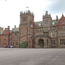
Bearwood House, Sindlesham
3.1 km
Easthampstead Park
4 km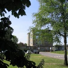
St Crispin's School
1.4 km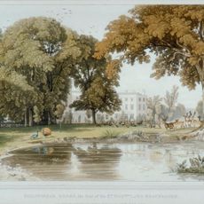
Billingbear House
4.3 km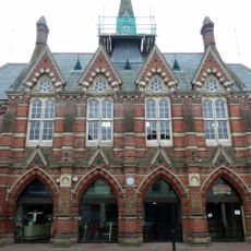
Wokingham Town Hall
616 m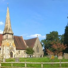
Church of St James
3.3 km
Church of St Mark
4 km
Church of All Saints
845 m
Church of St Paul
190 m
Church of St Catherine
2.7 km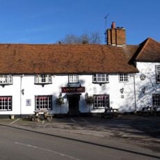
The Castle Inn
4.3 km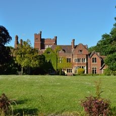
Moor Close
4.1 km
The Crispin Public House
630 m
Queen's Head Public House
204 m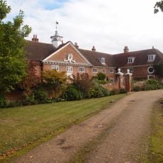
Henry Lucas Hospital And Attached Water Pumps
1.6 km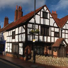
Tudor House
347 m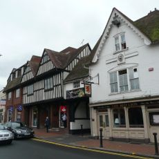
Red Lion Public House
638 m
33, Rose Street
708 m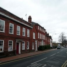
6, Shute End
343 m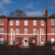
Montague House And Attached Garden Walls
452 m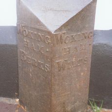
Boundary Marker At South West Corner Of No 6 Wiltshire Road
804 m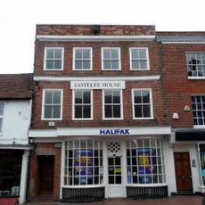
6, Market Place
582 m
Three Wall And Gate Piers To Wokingham Baptist Church
307 m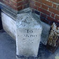
Milestone Adjoining North West Corner Of The Post Office
502 m
The Old Bull And Bush
623 m
37, Rose Street
715 m
The Annexe At Westcott Infant School
975 m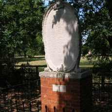
Memorial Stone
2.2 kmRecensioni
Ha visitato questo luogo? Tocchi le stelle per valutarlo e condividere la Sua esperienza o foto con la community! Provalo ora! Puoi annullarlo in qualsiasi momento.
Scopri tesori nascosti ad ogni viaggio!
Da piccoli caffè caratteristici a panorami nascosti, fuggi dalla folla e scova i posti che fanno davvero per te. La nostra app ti semplifica tutto: ricerca vocale, filtri furbi, percorsi ottimizzati e dritte autentiche da viaggiatori di tutto il mondo. Scaricala subito per vivere l'avventura sul tuo smartphone!

Un nuovo approccio alla scoperta turistica❞
— Le Figaro
Tutti i luoghi che meritano di essere esplorati❞
— France Info
Un’escursione su misura in pochi clic❞
— 20 Minutes