
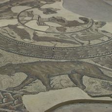
Settlement SE of Chesterton Farm, archaeological site in Cirencester, Cotswold, England, UK
Posizione: Cirencester
Coordinate GPS: 51.69750,-1.97862
Ultimo aggiornamento: 26 maggio 2025 alle 05:08
Corinium Dobunnorum
2.2 km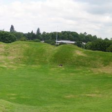
Cirencester Amphitheatre
1.7 km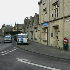
Cirencester Castle
2.1 km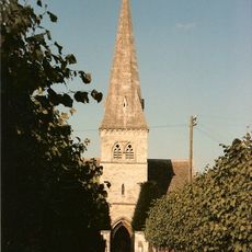
Church of St Peter
1.9 km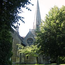
Church of the Holy Trinity
1.8 km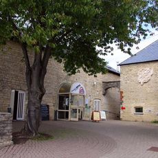
New Brewery Arts
2.2 km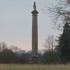
Queen Anne's Monument
2.1 km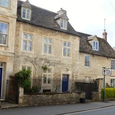
Chester Villa
2.1 km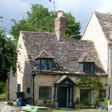
Rose Cottage
2 km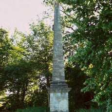
Obelisk At Sp 0213 0132
1.6 km
Cirencester Park wall, gates, lodges and Corinium Museum of Roman Antiquities
1.8 km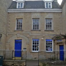
12 And 12A, Cricklade Street
2.2 km
1, Querns Lane
2 km
50, 52 And 54, Chester Street
2 km
Cirencester Park
2.2 km
7, 9 And 11, Querns Lane
2 km
Querns House At Cirencester Hospital
1.7 km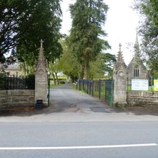
Cemetery Wall, Railings And Gates
1.4 km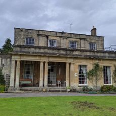
Watermoor House
2 km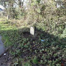
Milestone At Ngr Sp 010 010
1.3 km
10, City Bank Road
2 km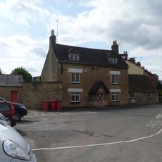
Cotswold Club And Attached Railings
1.9 km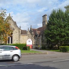
Cirencester County Junior School
2.1 km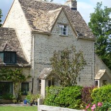
12, City Bank Road
2 km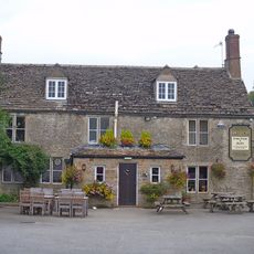
The Greyhound
1.8 km
Lloyd's Bank
2.2 km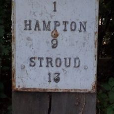
Milepost, by "Bailey Lodge" opp. Deer Park School
1.7 km
Twelve Bells And Attached Range Of Outbuildings
2.1 kmRecensioni
Ha visitato questo luogo? Tocchi le stelle per valutarlo e condividere la Sua esperienza o foto con la community! Provalo ora! Puoi annullarlo in qualsiasi momento.
Scopri tesori nascosti ad ogni viaggio!
Da piccoli caffè caratteristici a panorami nascosti, fuggi dalla folla e scova i posti che fanno davvero per te. La nostra app ti semplifica tutto: ricerca vocale, filtri furbi, percorsi ottimizzati e dritte autentiche da viaggiatori di tutto il mondo. Scaricala subito per vivere l'avventura sul tuo smartphone!

Un nuovo approccio alla scoperta turistica❞
— Le Figaro
Tutti i luoghi che meritano di essere esplorati❞
— France Info
Un’escursione su misura in pochi clic❞
— 20 Minutes