
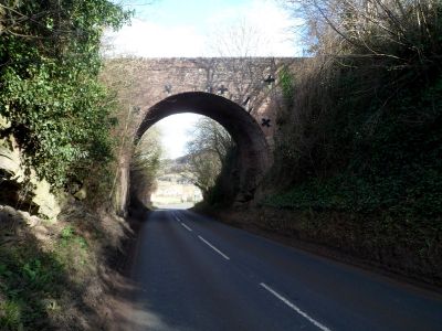
Dry Arch Bridge 300yds NE of St Giles' Church, scheduled road bridge in Goodrich, Herefordshire, England, UK
Posizione: Goodrich
Coordinate GPS: 51.86990,-2.61821
Ultimo aggiornamento: 23 settembre 2025 alle 17:46
Goodrich Court
1.1 km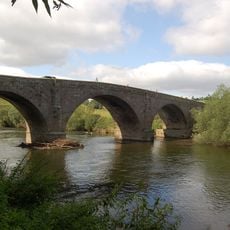
Kerne Bridge
544 m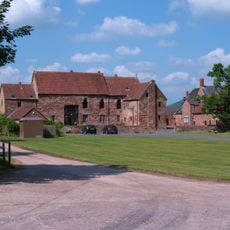
Flanesford Priory
411 m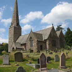
Church of St Giles
355 m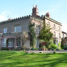
Rocklands
1.1 km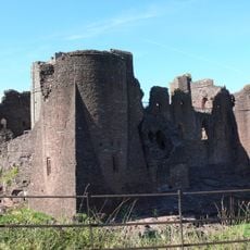
Goodrich Castle
776 m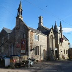
Ye Hostelrie
251 m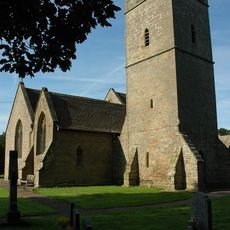
Church of St Michael
1.6 km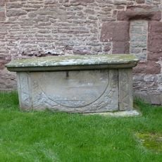
Tovey Monument Approximately 0.25 Metres From South Wall Of Nave Of Church Of St Giles
355 m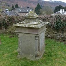
Gritton Monument approximately 30 metres south-west of west tower of Church of St Giles
389 m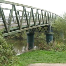
Huntsham Bridge
1.3 km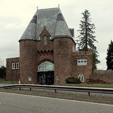
The Gatehouse
1.6 km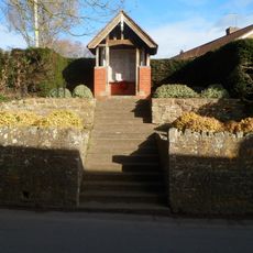
Goodrich War Memorial
151 m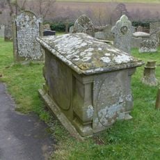
Edwards Monument approximately 1 metre south of organ chamber of Church of St Giles
351 m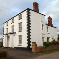
Goodrich Manor
850 m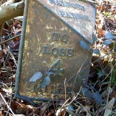
Milestone
1.1 km
Milepost, Kerne Bridge; opp. Hazelhurst Bungalows
1.1 km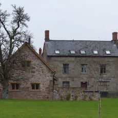
Flanesford Priory Farmhouse
437 m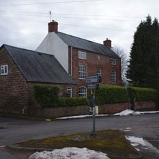
New Barn House And Attached Outhouse
902 m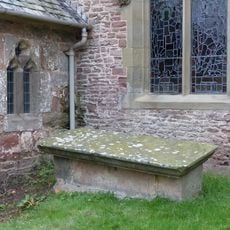
Chest tomb against south wall of nave east of porch of Church of St Giles
358 m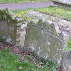
Group of three headstones approximately 3 metres south-west of south porch of Church Of St Giles
369 m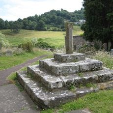
Base of churchyard cross with shaft approximately 2 metres south of south porch of Church of St Giles
364 m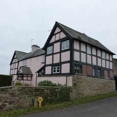
The Old Court
515 m
Upper Granton
446 m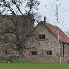
Cider mill at Flanesford Priory
413 m
The South Lodge
602 m
Whitehall
493 m
New House
1.2 kmRecensioni
Ha visitato questo luogo? Tocchi le stelle per valutarlo e condividere la Sua esperienza o foto con la community! Provalo ora! Puoi annullarlo in qualsiasi momento.
Scopri tesori nascosti ad ogni viaggio!
Da piccoli caffè caratteristici a panorami nascosti, fuggi dalla folla e scova i posti che fanno davvero per te. La nostra app ti semplifica tutto: ricerca vocale, filtri furbi, percorsi ottimizzati e dritte autentiche da viaggiatori di tutto il mondo. Scaricala subito per vivere l'avventura sul tuo smartphone!

Un nuovo approccio alla scoperta turistica❞
— Le Figaro
Tutti i luoghi che meritano di essere esplorati❞
— France Info
Un’escursione su misura in pochi clic❞
— 20 Minutes