
Deserted village of Stretton Baskerville, archaeological site in Stretton Baskerville, Rugby, England, UK
Posizione: Stretton Baskerville
Coordinate GPS: 52.51700,-1.38224
Ultimo aggiornamento: 4 marzo 2025 alle 08:33


Liberty Way
4.1 km
De Montfort Park
5.5 km
St Mary's Church, Hinckley
2.7 km
Nuneaton Museum & Art Gallery
5.7 km
Our Lady of the Angels, Nuneaton
5.7 km
Burbage Wood and Aston Firs
4.2 km
Church of St Nicholas
5.5 km
Nuneaton's Gold Belt
5.7 km
St Peter's Church, Aston Flamville
4.6 km
Church of St John the Baptist
3.4 km
Church of St Catherine
2.7 km
Church of St Botolph
1.7 km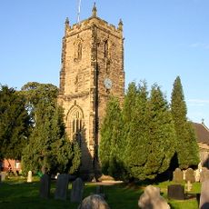
Church of St James
5.3 km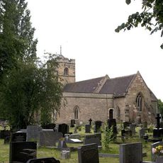
Church of All Saints
5.7 km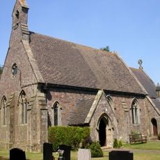
Church of St John
4.2 km
Church of St Peter
4.6 km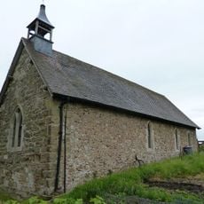
Church of St Mary
4.8 km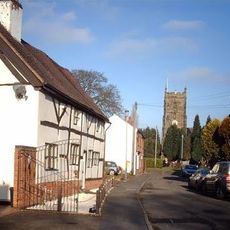
3 and 4, Church Street
5.4 km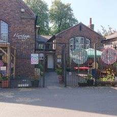
Nuneaton Heritage Centre
5.6 km
Nuneaton Boer War Memorial
5.7 km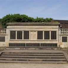
Hinckley War Memorial
2.8 km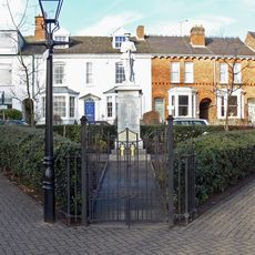
Burbage War Memorial
2.6 km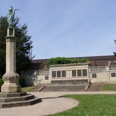
War Memorial
2.8 km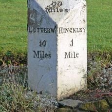
Milestone At Ngr Sp 4412 9332
3 km
King Edward The Sixth College
5.4 km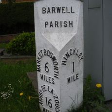
Milepost, by No. 240 Ashby Road, just S of jct with Normandy Way (A47)
4.6 km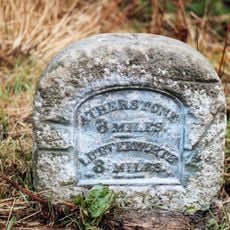
Milestone, N of Hinckley Island and Hanover Hotel
1.7 km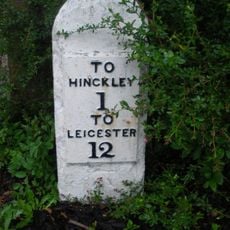
Milestone, entrance to Milestone House, opp entrance to golf club
4.5 kmRecensioni
Ha visitato questo luogo? Tocchi le stelle per valutarlo e condividere la Sua esperienza o foto con la community! Provalo ora! Puoi annullarlo in qualsiasi momento.
Scopri tesori nascosti ad ogni viaggio!
Da piccoli caffè caratteristici a panorami nascosti, fuggi dalla folla e scova i posti che fanno davvero per te. La nostra app ti semplifica tutto: ricerca vocale, filtri furbi, percorsi ottimizzati e dritte autentiche da viaggiatori di tutto il mondo. Scaricala subito per vivere l'avventura sul tuo smartphone!

Un nuovo approccio alla scoperta turistica❞
— Le Figaro
Tutti i luoghi che meritano di essere esplorati❞
— France Info
Un’escursione su misura in pochi clic❞
— 20 Minutes