
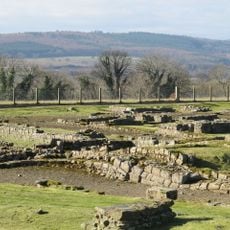
Hadrian's Wall and vallum between the Fence Burn and the track to Portgate Cottage in wall miles 21 and 22
Hadrian's Wall and vallum between the Fence Burn and the track to Portgate Cottage in wall miles 21 and 22, archaeological site in Corbridge, Northumberland, England, UK
Posizione: Corbridge
Parte di: Hadrian's Wall, borders of the Roman Empire
Coordinate GPS: 55.01220,-2.02095
Ultimo aggiornamento: 27 aprile 2025 alle 15:02
Coriosopitum
3.9 km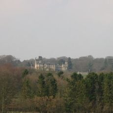
Beaufront Castle
3.6 km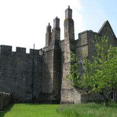
Castello di Aydon
2.7 km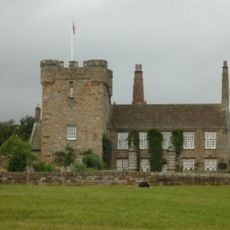
Halton Castle
1.2 km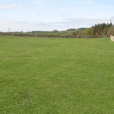
Hunnum
985 m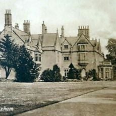
Sandhoe Hall
3 km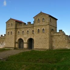
Portgate
67 m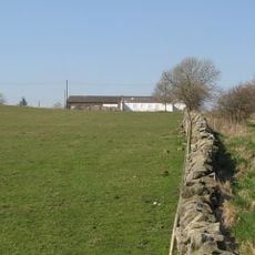
Milecastle 22
208 m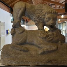
Corbridge Lion
3.9 km
Milecastle 20
3.1 km
Milecastle 23
1.3 km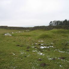
Milecastle 24
2.8 km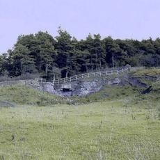
Milecastle 21
1.7 km
Church of St Mary
4 km
Halton Church
1.3 km
Chapel Of St Aidan
1.9 km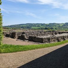
Corbridge Roman Site Museum
3.8 km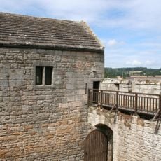
Outer Bailey Walls And Attached Farmbuildings
2.7 km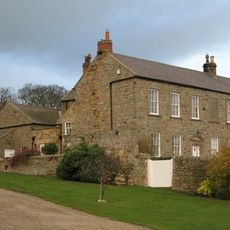
Errington Farmhouse And Garden Wall To West
4.1 km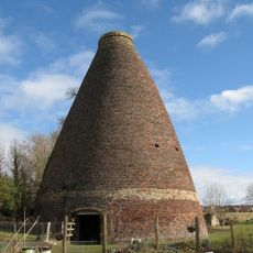
Walkers Pottery West Bottle Kiln
3.4 km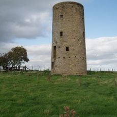
Windmill C 100 Yards West Of Whittington Mill
3.1 km
4-6, Watling Street
4.1 km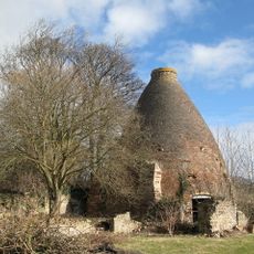
Walkers Pottery: East Bottle Kiln
3.4 km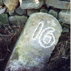
Milestone 440 Metres East Of Portgate Roundabout
404 m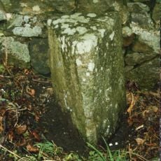
Milestone At Ny 98486585
2.8 km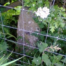
Milestone, 60m W of jct to Aydon
3.4 km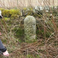
Milestone, E of Halton Shields
3.6 km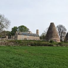
Kilns, Corbridge pottery
3.4 kmRecensioni
Ha visitato questo luogo? Tocchi le stelle per valutarlo e condividere la Sua esperienza o foto con la community! Provalo ora! Puoi annullarlo in qualsiasi momento.
Scopri tesori nascosti ad ogni viaggio!
Da piccoli caffè caratteristici a panorami nascosti, fuggi dalla folla e scova i posti che fanno davvero per te. La nostra app ti semplifica tutto: ricerca vocale, filtri furbi, percorsi ottimizzati e dritte autentiche da viaggiatori di tutto il mondo. Scaricala subito per vivere l'avventura sul tuo smartphone!

Un nuovo approccio alla scoperta turistica❞
— Le Figaro
Tutti i luoghi che meritano di essere esplorati❞
— France Info
Un’escursione su misura in pochi clic❞
— 20 Minutes