
Wayside cross socket stone at road junction 70m east of St Peter's Church
Wayside cross socket stone at road junction 70m east of St Peter's Church, cross base in Dowland, Torridge, Devon, UK
Posizione: Dowland
Coordinate GPS: 50.87450,-4.03547
Ultimo aggiornamento: 11 aprile 2025 alle 02:42

Heanton Satchville
3.5 km
Church of St James
2.1 km
Church of St Peter
86 m
Church of St Edmund
1.7 km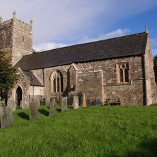
Church of St Michael
2.9 km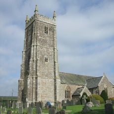
Church of All Saints
4.6 km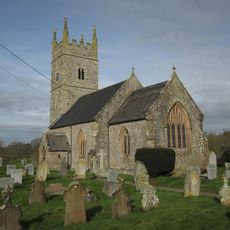
Church of All Saints
4.9 km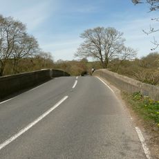
Hele Bridge
4.9 km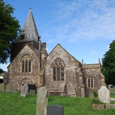
Church of Saint George and All Saints
5 km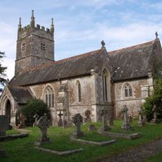
Church of St James the Less
3.6 km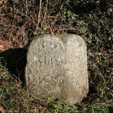
Milestone Approximately 30 Metres To South Of Moorparks At Ss 5637 1440
4.1 km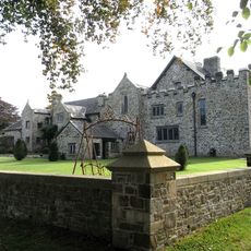
Stafford Barton
1.9 km
Arscotts Arscotts Cottage
1.9 km
Lower Newbridge Cottages
2.3 km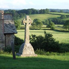
Iddesleigh War Memorial
2.1 km
Cobb Cottage
1.8 km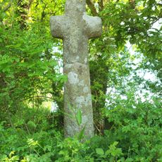
Cross At Ss 554074
3.2 km
Merton Mill Cottage
3.9 km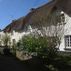
Corner Cottage Hodge's Cottage
1.9 km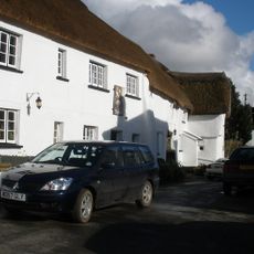
Duke Of York Inn
2.1 km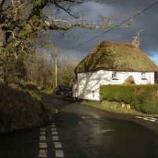
Weekmoor Cross Cottage
3.5 km
Ivy Cottage Sandscott
1.8 km
Hackwills
1.8 km
The Beehive And Beehive Cottage
5 km
East Or Groves Fishleigh Farmhouse
4.7 km
Barn Immediately To South-West Of East Or Groves Fishleigh Farmhouse
4.8 km
Milestone, 100m S of Dolton Tollhouse
3.7 km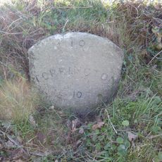
Milestone, 50m S of Friar's Hele Cross jct with old route and new road
4.7 kmRecensioni
Ha visitato questo luogo? Tocchi le stelle per valutarlo e condividere la Sua esperienza o foto con la community! Provalo ora! Puoi annullarlo in qualsiasi momento.
Scopri tesori nascosti ad ogni viaggio!
Da piccoli caffè caratteristici a panorami nascosti, fuggi dalla folla e scova i posti che fanno davvero per te. La nostra app ti semplifica tutto: ricerca vocale, filtri furbi, percorsi ottimizzati e dritte autentiche da viaggiatori di tutto il mondo. Scaricala subito per vivere l'avventura sul tuo smartphone!

Un nuovo approccio alla scoperta turistica❞
— Le Figaro
Tutti i luoghi che meritano di essere esplorati❞
— France Info
Un’escursione su misura in pochi clic❞
— 20 Minutes