
Ring cairn south west of Hound Tor, 215m east of East Lodge
Ring cairn south west of Hound Tor, 215m east of East Lodge, ring cairn in Manaton, Devon, England, UK

Tomba di Jay
1.4 km
Haytor Granite Tramway
3.1 km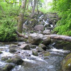
Becky Falls
2.4 km
Church of Saint Pancras, Widecombe-in-the-Moor
3 km
Church of St Winifrid
2.7 km
Base Of Former Village Cross, About 10 Metres South Of Church House
3 km
Rugglestone Inn
3 km
The Old Inn
3 km
Venton Bridge
3 km
Clapper Bridge On The Road From Widecombe Village To Natsworthy, About 130 Metres North East Of Wooder Manor
2.2 km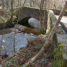
Beckaford Bridge
1.9 km
Manaton War Memorial
2.7 km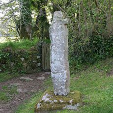
Churchyard Cross Approximately 17 Metres South West Of Church Of St. Winifrid
2.6 km
Hound Tor Deserted Medieval Village
524 m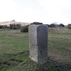
Direction Post On South East Side Of Haytor Down, On North West Side Of The Road About 60 Metres North East Of The Turning To Haytor Vale
3.1 km
Cross About 5 Metres South Of South Transept Of St Pancras Church
3 km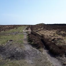
Hameldown Beacon barrow
3.3 km
Hedge Barton Farmhouse
828 m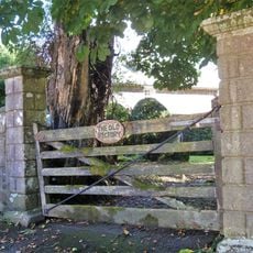
Gate Piers And Quadrant Walls About 15 Metres West Of The Vicarage, Together With Mounting Block 1 Metre South West Of The South Pier
3.1 km
Saxon Well, About 25 Metres West Of The Vicarage Gate On The Opposite Side Of The Road
3.1 km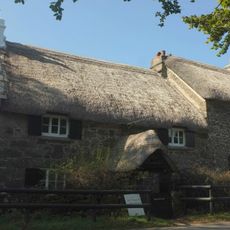
Swallerton Gate
429 m
Mill Farmhouse
2.3 km
Half Moon House
2.7 km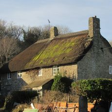
Southcott Farmhouse
1.8 km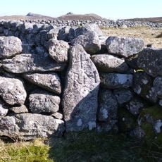
Stentifords Cross, About 70 Metres South East Of Hemsworthy Gate Crossroads
2.7 km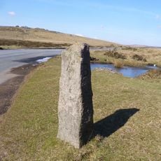
Direction Post At North East Side Of Hemsworthy Gate Crossroads
2.7 km
Middle Bonehill Farmhouse, Including Garden Wall In Front Of Right Hand Side Of House
2 km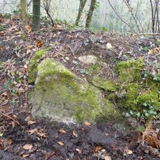
Milestone, 25m N of Stouts
2 kmRecensioni
Ha visitato questo luogo? Tocchi le stelle per valutarlo e condividere la Sua esperienza o foto con la community! Provalo ora! Puoi annullarlo in qualsiasi momento.
Scopri tesori nascosti ad ogni viaggio!
Da piccoli caffè caratteristici a panorami nascosti, fuggi dalla folla e scova i posti che fanno davvero per te. La nostra app ti semplifica tutto: ricerca vocale, filtri furbi, percorsi ottimizzati e dritte autentiche da viaggiatori di tutto il mondo. Scaricala subito per vivere l'avventura sul tuo smartphone!

Un nuovo approccio alla scoperta turistica❞
— Le Figaro
Tutti i luoghi che meritano di essere esplorati❞
— France Info
Un’escursione su misura in pochi clic❞
— 20 Minutes