
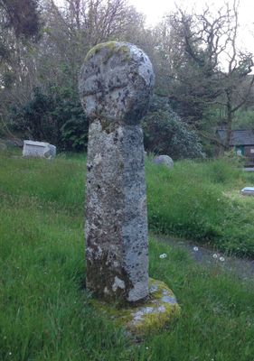
Medieval wayside cross in Altarnun churchyard, wayside cross in Altarnun, Cornwall, England, UK
Posizione: Altarnun
Coordinate GPS: 50.60440,-4.51271
Ultimo aggiornamento: 18 marzo 2025 alle 00:32
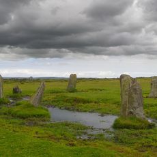
Nine Stones
3.4 km
St Nonna's Church, Altarnun
24 m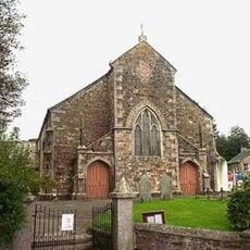
Altarnun Methodist Chapel
240 m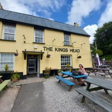
Kings Head Hotel
648 m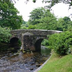
Altarnun Old Bridge
25 m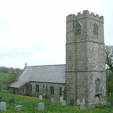
Church of St Clether
3.5 km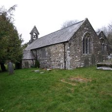
Church of St Michael
3.7 km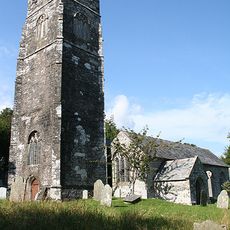
Church of St Sidwell
2.7 km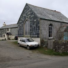
Trecollas Chapel
2.3 km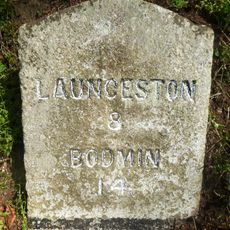
Milestone 100 Metres To South East Of Kings Head Hotel
756 m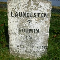
Milestone 80 Metres To South West Of Strylands
2.2 km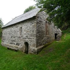
St Clether's Chapel and Holy Well
3.9 km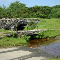
Bowithick Bridge and footbridge
4.2 km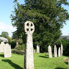
Medieval churchyard cross in Laneast churchyard
2.7 km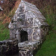
Holy Well of St Clether
3.9 km
Bridge Directly To South Of Trewen Mill
3.4 km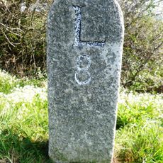
Milestone To North East Of Napps Farm
4.2 km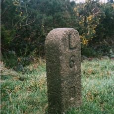
Milestone At Sx246843
3.9 km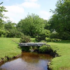
Footbridge To South East Of Bothwick
4.2 km
Early post-medieval guide post 270m north west of Bowden
3.2 km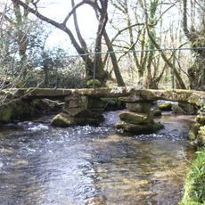
Footbridge 90 Metres To South-East Of Trevague
2.3 km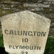
Milestone 200 Metres To East Of Plusha
3.4 km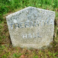
Milestone 500 Metres To North East Of Plusha
3.6 km
Milestone 800 Metres To South West Of Trewint Marsh
1.7 km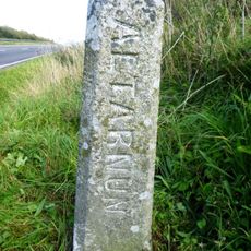
Boundary Stone 220 Metres To North East Of Higher Cannaframe Farm
3.9 km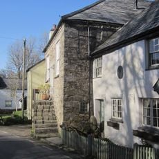
Chygrysys
133 m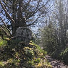
Cross 20 Metres To South East Of Trekennick Farmhouse
623 m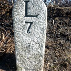
Milestone At Sx231848
3.6 kmRecensioni
Ha visitato questo luogo? Tocchi le stelle per valutarlo e condividere la Sua esperienza o foto con la community! Provalo ora! Puoi annullarlo in qualsiasi momento.
Scopri tesori nascosti ad ogni viaggio!
Da piccoli caffè caratteristici a panorami nascosti, fuggi dalla folla e scova i posti che fanno davvero per te. La nostra app ti semplifica tutto: ricerca vocale, filtri furbi, percorsi ottimizzati e dritte autentiche da viaggiatori di tutto il mondo. Scaricala subito per vivere l'avventura sul tuo smartphone!

Un nuovo approccio alla scoperta turistica❞
— Le Figaro
Tutti i luoghi che meritano di essere esplorati❞
— France Info
Un’escursione su misura in pochi clic❞
— 20 Minutes