
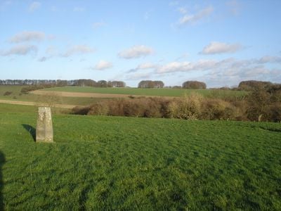
Iron Age and Romano-British settlement remains on Rotherley Down
Iron Age and Romano-British settlement remains on Rotherley Down, archaeological site in Wiltshire, UK
Posizione: Berwick St John
Coordinate GPS: 50.97510,-2.07339
Ultimo aggiornamento: 3 marzo 2025 alle 05:00
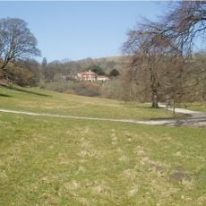
Ashcombe House
1.7 km
Ferne House
3.4 km
Alvediston Manor
4.8 km
Larmer Tree Gardens
2.7 km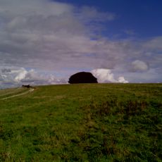
Win Green Down
2.6 km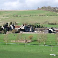
Norrington Manor
4.6 km
Gallows Hill SSSI, Wiltshire
4.9 km
Garston Wood
5.4 km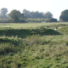
Iron Age and Romano-British settlement remains on Woodcutts Common, 850m south east and 845m SSE of Arundell Cottages
2 km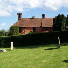
King John's House, Tollard Royal
1.9 km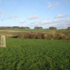
Rotherley Downs
352 m
Church of St Lawrence
4.6 km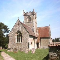
Church of St John
2.9 km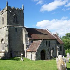
Church of St Peter Ad Vincula
1.9 km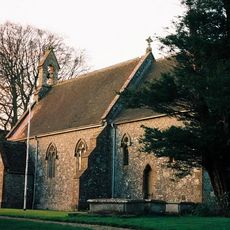
Church of St Nicholas
4.2 km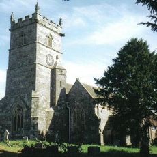
Church of St Mary
5.1 km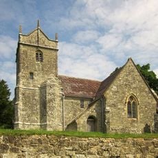
Church of St Mary
5.2 km
Tollard Royal And Rushmore War Memorial
1.8 km
Singing Theatre
2.7 km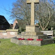
Sixpenny Handley War Memorial
5.1 km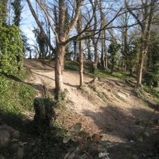
Winkelbury Hill earthworks
1.6 km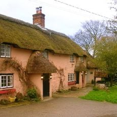
The Crown Inn
4.7 km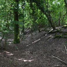
Camp in Mistlebury Wood
4.6 km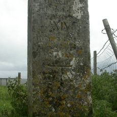
Whitesheet Hill milestone
4.6 km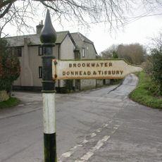
Guide Post At Cross Roads
4.5 km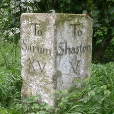
Milestone Near Parish Boundary With Donhead St Andrew
5.1 km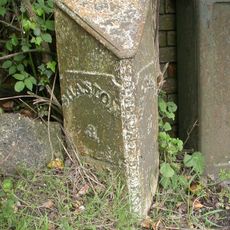
Milepost, Ludwell; E of village next to jcn Dennis Lane
5 km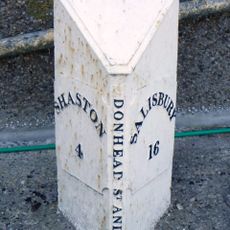
Milepost In Front Of Number 150
4.6 kmRecensioni
Ha visitato questo luogo? Tocchi le stelle per valutarlo e condividere la Sua esperienza o foto con la community! Provalo ora! Puoi annullarlo in qualsiasi momento.
Scopri tesori nascosti ad ogni viaggio!
Da piccoli caffè caratteristici a panorami nascosti, fuggi dalla folla e scova i posti che fanno davvero per te. La nostra app ti semplifica tutto: ricerca vocale, filtri furbi, percorsi ottimizzati e dritte autentiche da viaggiatori di tutto il mondo. Scaricala subito per vivere l'avventura sul tuo smartphone!

Un nuovo approccio alla scoperta turistica❞
— Le Figaro
Tutti i luoghi che meritano di essere esplorati❞
— France Info
Un’escursione su misura in pochi clic❞
— 20 Minutes