
Medieval settlement remains immediately west of St Pancras's Church
Medieval settlement remains immediately west of St Pancras's Church, human settlement in United Kingdom
Posizione: Arlington
Coordinate GPS: 50.84590,0.18913
Ultimo aggiornamento: 10 aprile 2025 alle 15:01
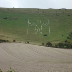
Uomo Lungo di Wilmington
4 km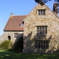
Michelham Priory
2.5 km
Drusillas Zoo Park
3.1 km
Arlington Reservoir
548 m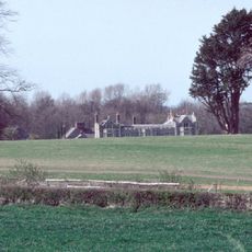
Folkington Manor
3.9 km
Wootton Manor
3.2 km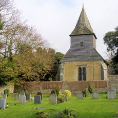
St Mary and St Peter's Church, Wilmington
3.2 km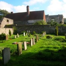
Wilmington Priory
3.2 km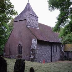
The Parish Church of Saint Peter
4 km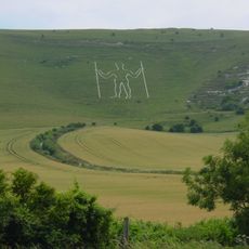
Wilmington Downs
4 km
Villa Rustica (Brighton)
3.5 km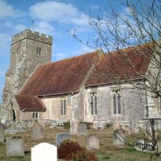
The Parish Church of St John the Baptist
3.7 km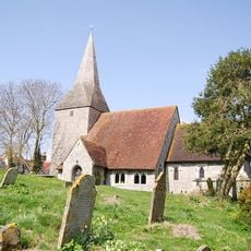
The Parish Church of St Michael and All Angels, Berwick
3.4 km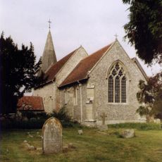
The Parish Church of St Pancras
79 m
The Cricketers Arms Inn
3.1 km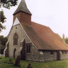
The Parish Church of St Mary
3.3 km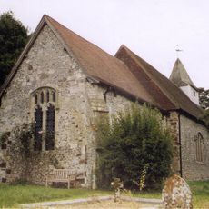
The Parish Church
4.1 km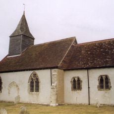
The Parish Church of St Bartholomew
3 km
Upper Dicker Post Office Stores
2.7 km
Remains Of The Village Pound
3.2 km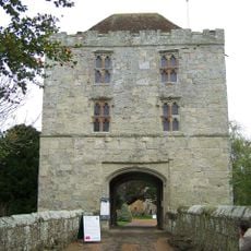
Barbican Tower And Bridge Over The Moat At Michelham Priory
2.5 km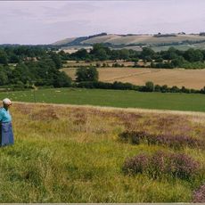
New Barn Farmhouse
3.4 km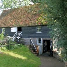
Priory Mill
2.4 km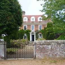
Eckington Manor
3.9 km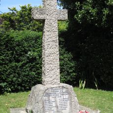
Selmeston and Alciston War Memorial
3.6 km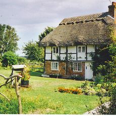
The Old Clergy House
4 km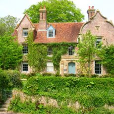
The Old Rectory
4 km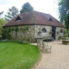
The Stables Or Pigeon-House To The North West Of Michelham Priory
2.5 kmRecensioni
Ha visitato questo luogo? Tocchi le stelle per valutarlo e condividere la Sua esperienza o foto con la community! Provalo ora! Puoi annullarlo in qualsiasi momento.
Scopri tesori nascosti ad ogni viaggio!
Da piccoli caffè caratteristici a panorami nascosti, fuggi dalla folla e scova i posti che fanno davvero per te. La nostra app ti semplifica tutto: ricerca vocale, filtri furbi, percorsi ottimizzati e dritte autentiche da viaggiatori di tutto il mondo. Scaricala subito per vivere l'avventura sul tuo smartphone!

Un nuovo approccio alla scoperta turistica❞
— Le Figaro
Tutti i luoghi che meritano di essere esplorati❞
— France Info
Un’escursione su misura in pochi clic❞
— 20 Minutes