
Medieval moated site with associated fishponds, Flower Lane
Medieval moated site with associated fishponds, Flower Lane, moated site in Godstone, Surrey, England, UK
Posizione: Godstone
Coordinate GPS: 51.25610,-0.05788
Ultimo aggiornamento: 11 aprile 2025 alle 20:03
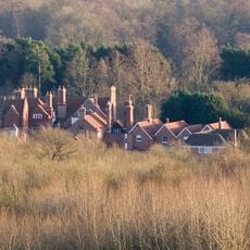
Barrow Green Court
2.4 km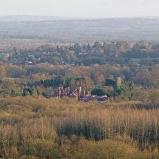
Woldingham & Oxted Downs
2.7 km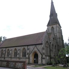
Church of St Mary
3.5 km
Church of St John
3.1 km
Church of St Mary the Virgin
3.4 km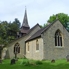
Church of St Peter
2.3 km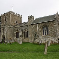
Church of St Mary the Virgin
3.3 km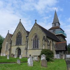
Church of St Nicholas
1.1 km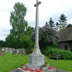
Godstone War Memorial
1.1 km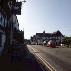
The Crown Inn
3 km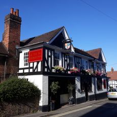
The George Inn
3 km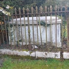
Bull Vault 12 Yards South Of Church Of St Lawrence
3.5 km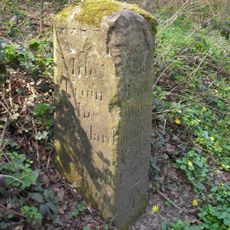
Milestone, Eastbourne Road, jct with Church Lane
1.7 km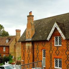
Church End Cottage
1.1 km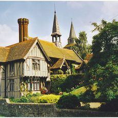
St Mary's Alms Houses And Chapel Of St Mary
1.1 km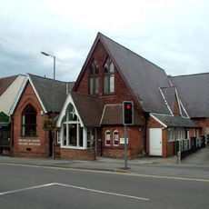
Miller Centre Theatre
3.1 km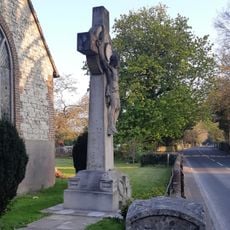
Caterham Hill War Memorial
3.5 km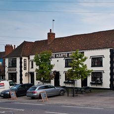
The White Hart Inn Including Former Stable To Rear
3.4 km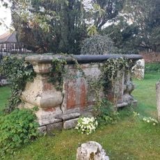
Fowler Tomb 5 Yards South Of Nave Of Church Of St Lawrence
3.5 km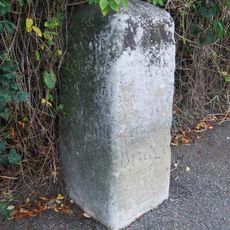
Milestone
761 m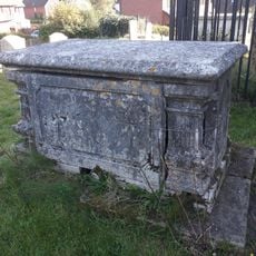
Whitelake Tomb 1 Yard East Of Chancel
3.5 km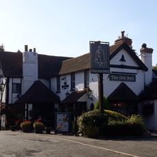
The Old Bell Inn
2.9 km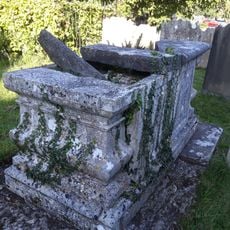
Chest Tomb 3 Yards North East Of Corner Of Chancel
3.5 km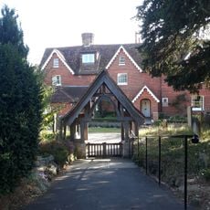
Court Farm House
3.4 km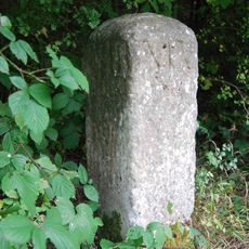
Milestone, top of Godstone Hill
1.3 km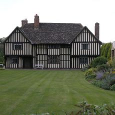
Brewer Street Farm House
3.3 km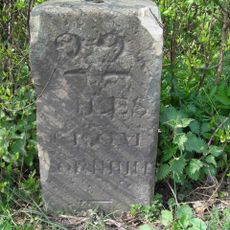
Milestone, Eastbourne Road, jct with Hart Lane
3.2 km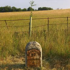
Milestone, Nags Hall, jct with Tandridge Hill Lane
1.5 kmRecensioni
Ha visitato questo luogo? Tocchi le stelle per valutarlo e condividere la Sua esperienza o foto con la community! Provalo ora! Puoi annullarlo in qualsiasi momento.
Scopri tesori nascosti ad ogni viaggio!
Da piccoli caffè caratteristici a panorami nascosti, fuggi dalla folla e scova i posti che fanno davvero per te. La nostra app ti semplifica tutto: ricerca vocale, filtri furbi, percorsi ottimizzati e dritte autentiche da viaggiatori di tutto il mondo. Scaricala subito per vivere l'avventura sul tuo smartphone!

Un nuovo approccio alla scoperta turistica❞
— Le Figaro
Tutti i luoghi che meritano di essere esplorati❞
— France Info
Un’escursione su misura in pochi clic❞
— 20 Minutes