
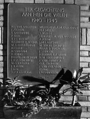
Plaquette in ‘De Inktpot’, war memorial in Utrecht, the Netherlands
Posizione: Utrecht
Inizio: 1948
Creatore: Hermanus Gerardus Jacob Schelling
Inaugurazione ufficiale: 9 settembre 1948
Indirizzo: Moreelsepark, Utrecht (Utrecht), Utrecht, Nederland
Coordinate GPS: 52.08797,5.11529
Ultimo aggiornamento: 7 marzo 2025 alle 19:17
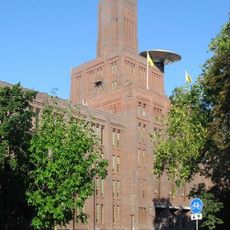
De Inktpot
76 m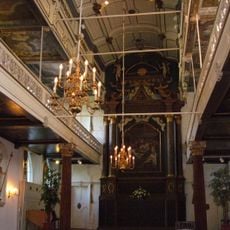
Clandestine church
145 m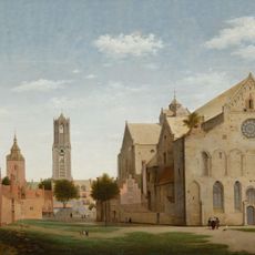
St. Mary's Church
163 m
Cattedrale di Santa Gertrude
139 m
Hoofdgebouw I
131 m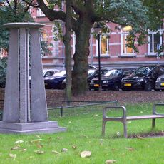
Moreelsepark
50 m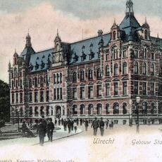
Hoofdgebouw II
82 m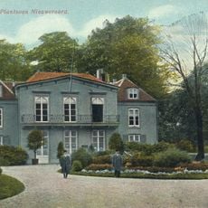
Park Nieuweroord
167 m
Marga Klompébrug
160 m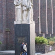
Monument voor Gevallen Spoorwegpersoneel
10 m
Sterrehof
178 m
Willemsbrug
154 m
Mariabolwerk
69 m
St. Gertrudis Chappell
148 m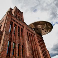
UFO Zover
62 m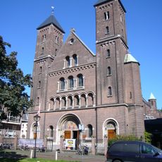
Oud-Katholieke Kerk St. Gertrudis
115 m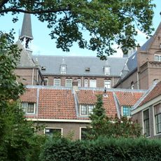
Mariahoek 14, Utrecht
165 m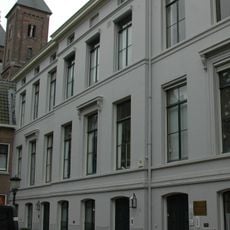
Mariahoek 6, Utrecht
128 m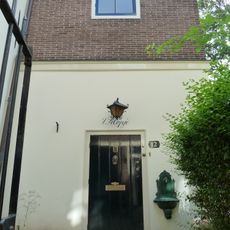
Mariahoek 12, Utrecht
150 m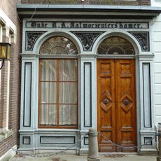
Mariahoek 16, Utrecht
174 m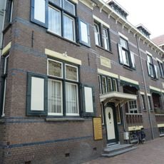
Mariahoek 3, Utrecht
149 m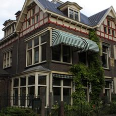
Willemsplantsoen 3, Utrecht
112 m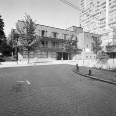
Industrie-Huishoudschool
128 m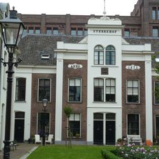
Sterrehof, woonblok A
161 m
Mariahoek 11, Utrecht
140 m
Oude Mannen- en Vrouwenhuis, Utrecht
161 m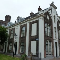
Sterrehof, Woonblok C
176 m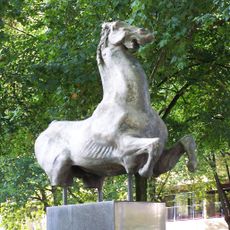
Julius Sulway
120 mRecensioni
Ha visitato questo luogo? Tocchi le stelle per valutarlo e condividere la Sua esperienza o foto con la community! Provalo ora! Puoi annullarlo in qualsiasi momento.
Scopri tesori nascosti ad ogni viaggio!
Da piccoli caffè caratteristici a panorami nascosti, fuggi dalla folla e scova i posti che fanno davvero per te. La nostra app ti semplifica tutto: ricerca vocale, filtri furbi, percorsi ottimizzati e dritte autentiche da viaggiatori di tutto il mondo. Scaricala subito per vivere l'avventura sul tuo smartphone!

Un nuovo approccio alla scoperta turistica❞
— Le Figaro
Tutti i luoghi che meritano di essere esplorati❞
— France Info
Un’escursione su misura in pochi clic❞
— 20 Minutes