
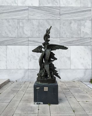
Phoenix, war memorial in Arnhem, the Netherlands
Posizione: Arnhem
Inizio: 1955
Creatore: Ossip Zadkine
Inaugurazione ufficiale: 1955
Indirizzo: Koningstraat, 6811 DE, Arnhem (Arnhem), Gelderland, Nederland
Coordinate GPS: 51.98095,5.91003
Ultimo aggiornamento: 13 marzo 2025 alle 12:13
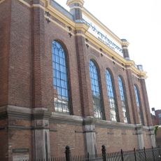
Synagoge, Arnhem
147 m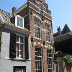
Presickhaeffs Huis
133 m
Kerkstraat 32, Arnhem
83 m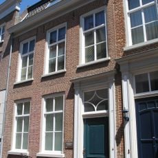
Kerkstraat 10, Arnhem
75 m
Bakkerstraat 17, Arnhem
133 m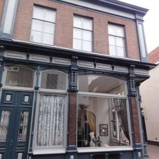
Kerkstraat 45, Arnhem
61 m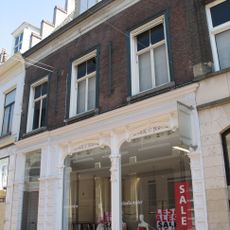
Bakkerstraat 5, Arnhem
149 m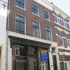
Kerkstraat 34, Arnhem
80 m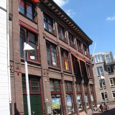
Kerkstraat 23
126 m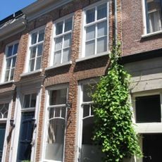
Kerkstraat 11, Arnhem
78 m
Bakkerstraat 21
149 m
Bakkerstraat 4, Arnhem
153 m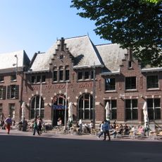
Van Ranzow 's Bank
148 m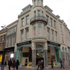
Winkelwoning
138 m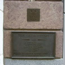
Monument aan de Bakkerstraat
146 m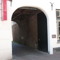
Poort naar Bakkerstraat 19
86 m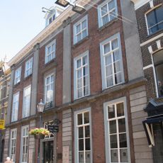
Bakkerstraat 19
139 m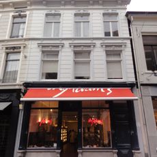
Bakkerstraat 9, Arnhem
138 m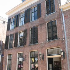
Bakkerstraat 12B, Arnhem
129 m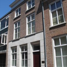
Kerkstraat 9, Arnhem
62 m
Winkel met bovenwoning
98 m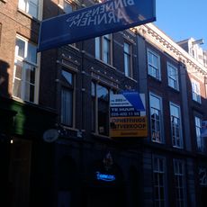
Bakkerstraat 18
135 m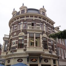
Winkel met bovenwoningen, comestibles- en delicatessenhandel
120 m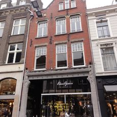
Bakkerstraat 7, Arnhem
142 m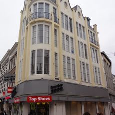
Voormalige winkel met magazijn, nu winkel met bovenwoning
148 m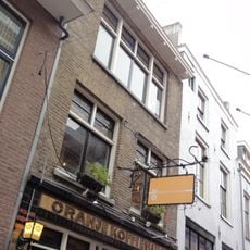
Oranje Koffiehuis
32 m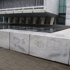
Monument aan de Koningstraat
0 m
Twee winkels met bovenwoning gebouwd
28 mRecensioni
Ha visitato questo luogo? Tocchi le stelle per valutarlo e condividere la Sua esperienza o foto con la community! Provalo ora! Puoi annullarlo in qualsiasi momento.
Scopri tesori nascosti ad ogni viaggio!
Da piccoli caffè caratteristici a panorami nascosti, fuggi dalla folla e scova i posti che fanno davvero per te. La nostra app ti semplifica tutto: ricerca vocale, filtri furbi, percorsi ottimizzati e dritte autentiche da viaggiatori di tutto il mondo. Scaricala subito per vivere l'avventura sul tuo smartphone!

Un nuovo approccio alla scoperta turistica❞
— Le Figaro
Tutti i luoghi che meritano di essere esplorati❞
— France Info
Un’escursione su misura in pochi clic❞
— 20 Minutes