
Oorlogsmonument, war memorial in Staphorst, the Netherlands
Posizione: Staphorst
Inizio: 1948
Inaugurazione ufficiale: 1948
Indirizzo: Binnenweg, 7951 DE, Staphorst (Staphorst), Overijssel, Nederland
Coordinate GPS: 52.64398,6.20998
Ultimo aggiornamento: 3 marzo 2025 alle 00:39


Dorpskerk
256 m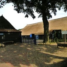
Gemeenteweg 67, Staphorst
364 m
Boerderij Staphorst
292 m
Gemeenteweg 112, Staphorst
363 m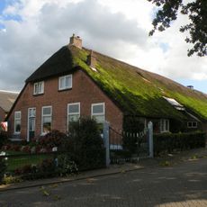
Industrieweg 1, Staphorst
382 m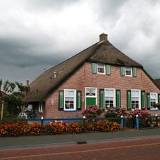
Gemeenteweg 41, Staphorst
342 m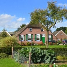
Gemeenteweg 47, Staphorst
391 m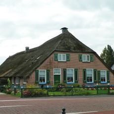
Gemeenteweg 60, Staphorst
229 m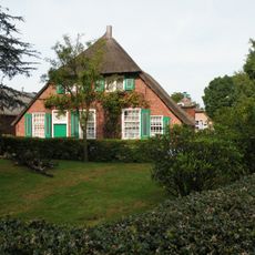
Gemeenteweg 55, Staphorst
295 m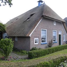
Gemeenteweg 96, Staphorst
330 m
Gemeenteweg 103, Staphorst
425 m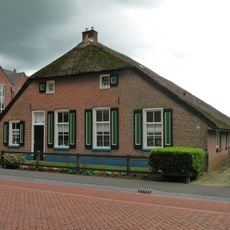
Gemeenteweg 48, Staphorst
276 m
Gave boerderij van het Staphorstse type
399 m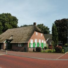
Gemeenteweg 83, Staphorst
328 m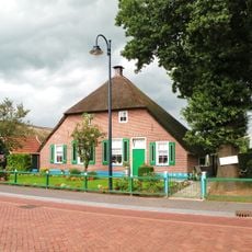
Gemeenteweg 51, Staphorst
324 m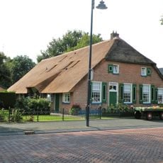
Gemeenteweg 6, Staphorst
420 m
Gemeenteweg 24, Staphorst
344 m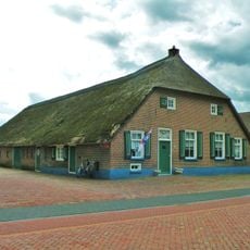
Gave boerderij van het Staphorstse type
277 m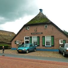
Gemeenteweg 46, Staphorst
270 m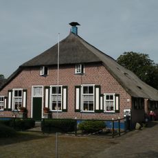
Gemeenteweg 57, Staphorst
330 m
Gemeenteweg 49, Staphorst
331 m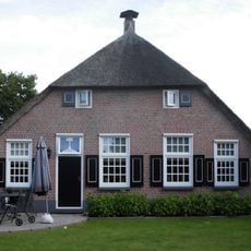
Gemeenteweg 82, Staphorst
229 m
Gemeenteweg 56, Staphorst
238 m
Gemeenteweg 106, Staphorst
321 m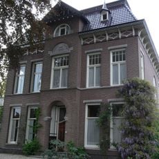
Pastorie, Staphorst
289 m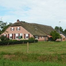
In hoofdvorm gaaf bewaarde boerderij van het Staphorstse type
371 m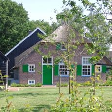
Industrieweg 8, Staphorst
350 m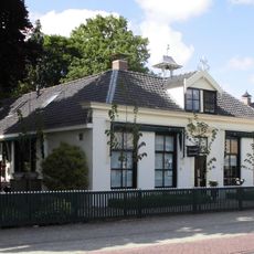
Gemeenteweg 85, Staphorst
352 mRecensioni
Ha visitato questo luogo? Tocchi le stelle per valutarlo e condividere la Sua esperienza o foto con la community! Provalo ora! Puoi annullarlo in qualsiasi momento.
Scopri tesori nascosti ad ogni viaggio!
Da piccoli caffè caratteristici a panorami nascosti, fuggi dalla folla e scova i posti che fanno davvero per te. La nostra app ti semplifica tutto: ricerca vocale, filtri furbi, percorsi ottimizzati e dritte autentiche da viaggiatori di tutto il mondo. Scaricala subito per vivere l'avventura sul tuo smartphone!

Un nuovo approccio alla scoperta turistica❞
— Le Figaro
Tutti i luoghi che meritano di essere esplorati❞
— France Info
Un’escursione su misura in pochi clic❞
— 20 Minutes