
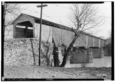
Covered Bridge over the South Fork of Licking River
Covered Bridge over the South Fork of Licking River, former covered bridge spanning the South Fork of Licking River, Cynthiana, Harrison County, Kentucky, USA
Posizione: Cynthiana
Inizio: 1808
Coordinate GPS: 38.38786,-84.29877
Ultimo aggiornamento: 23 settembre 2025 alle 17:56
Cane Ridge
23.5 km
Blue Licks Battlefield State Park
26.9 km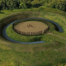
Mount Horeb Earthworks Complex
29.4 km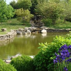
Yuko-En on the Elkhorn
29.8 km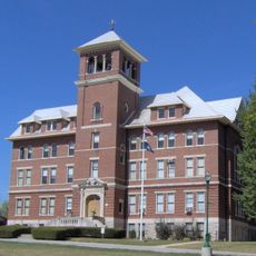
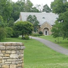
Cardome Centre
29.8 km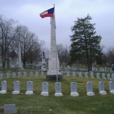
Confederate Monument in Cynthiana
1.7 km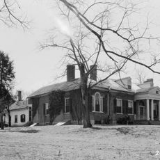
The Grange
17.4 km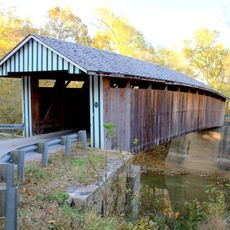
Colville Covered Bridge
10.9 km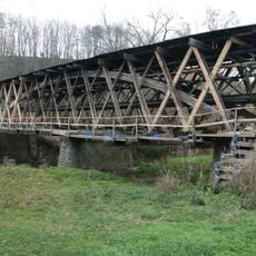
Johnson Creek Covered Bridge
29.9 km
Forest Retreat
21.6 km
Bourbon County Courthouse
19.9 km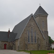
Church of the Advent, Episcopal
397 m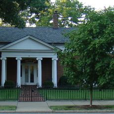
Shropshire House
29.9 km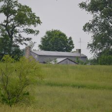
Thomas Metcalf House
21.6 km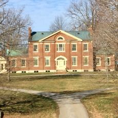
Walker Buckner House
25.5 km
Millspring
29.9 km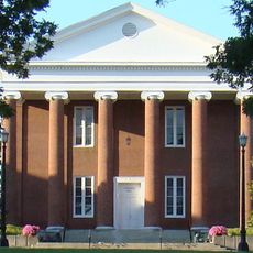
Georgetown College Historic Buildings
30.1 km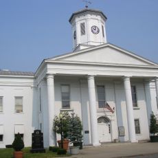
Harrison County Courthouse
169 m
Snow Hill
29.4 km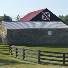
Stone Barn on Brushy Creek
21.1 km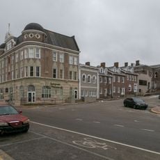
Paris Courthouse Square Historic District
19.9 km
Georgetown East Main Street Residential District
29.9 km
Johnston-Jacobs House
30 km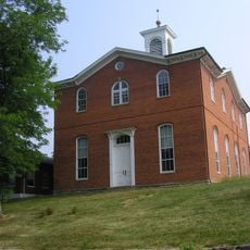
Robertson County Courthouse
28 km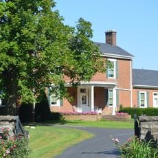
William Mathers House
23.8 km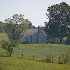
Erasmus Riggs House
25.4 km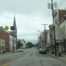
Cynthiana Commercial District
9.8 km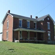
Thomas A. Dorsey Farmhouse
25.6 kmRecensioni
Ha visitato questo luogo? Tocchi le stelle per valutarlo e condividere la Sua esperienza o foto con la community! Provalo ora! Puoi annullarlo in qualsiasi momento.
Scopri tesori nascosti ad ogni viaggio!
Da piccoli caffè caratteristici a panorami nascosti, fuggi dalla folla e scova i posti che fanno davvero per te. La nostra app ti semplifica tutto: ricerca vocale, filtri furbi, percorsi ottimizzati e dritte autentiche da viaggiatori di tutto il mondo. Scaricala subito per vivere l'avventura sul tuo smartphone!

Un nuovo approccio alla scoperta turistica❞
— Le Figaro
Tutti i luoghi che meritano di essere esplorati❞
— France Info
Un’escursione su misura in pochi clic❞
— 20 Minutes