
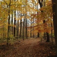
Footpath from Glenside to Oakridge, a footpath in Summit, New Jersey
Posizione: Summit
Lunghezza: 420 m
Coordinate GPS: 40.70330,-74.36238
Ultimo aggiornamento: 13 novembre 2025 alle 12:18
Watchung Reservation
1 km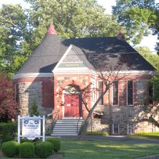
Summit Playhouse
1.3 km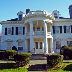
Twin Maples
1.9 km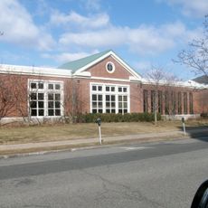
Summit Free Public Library
1.3 km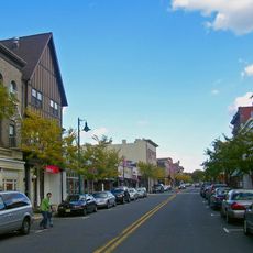
Summit Downtown Historic District
1.3 km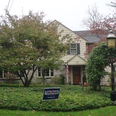
118 Prospect St, Summit, NJ
1.2 km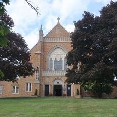
Dominican Monastery of Our Lady of the Rosary
1.5 km
Beacon Hill 5
1.7 km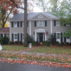
29 Druid Hill Road, Smmit, NJ
395 m
25 Madison Ave, Summit, NJ
2.4 km
599 Springfield Avenue, Summit, NJ
1.5 km
24 Oak Ridge Ave, Summit, NJ
880 m
34 Laurel Avenue, Summi, NJ
459 m
41 Sweetbriar Road, Summit, NJ
990 m
Record Building
1.6 km
49 Baltusrol Road, Summit, NJ
821 m
11 Blackburn Rd, Summit, NJ
1.3 km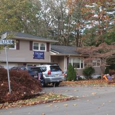
17 Stiles Road, Summit, NJ
656 m
Footpath between Edgar Street and the high school
2 km
18 Middle Ave, Summit, NJ
2.8 km
9 High Street, Summit, NJ
1.2 km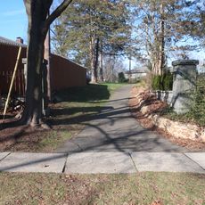
Footpath between Springfield and Nassau
1.5 km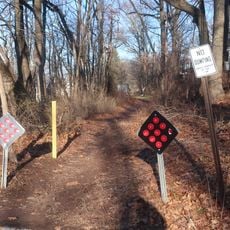
Sylvan Lane Footpath
1.1 km
16 Middle Ave, Summit, NJ
2.7 km
34 Stockton Road, Summit, NJ
693 m
Footpath between Montrose Avenue and the high school
2.2 km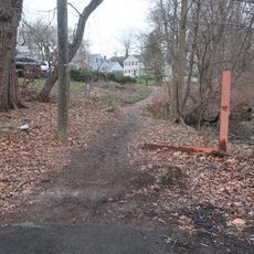
Footpath from Colonial to West End
2 km
Louie
1.5 kmRecensioni
Ha visitato questo luogo? Tocchi le stelle per valutarlo e condividere la Sua esperienza o foto con la community! Provalo ora! Puoi annullarlo in qualsiasi momento.
Scopri tesori nascosti ad ogni viaggio!
Da piccoli caffè caratteristici a panorami nascosti, fuggi dalla folla e scova i posti che fanno davvero per te. La nostra app ti semplifica tutto: ricerca vocale, filtri furbi, percorsi ottimizzati e dritte autentiche da viaggiatori di tutto il mondo. Scaricala subito per vivere l'avventura sul tuo smartphone!

Un nuovo approccio alla scoperta turistica❞
— Le Figaro
Tutti i luoghi che meritano di essere esplorati❞
— France Info
Un’escursione su misura in pochi clic❞
— 20 Minutes