
Ottmarsfeld, human settlement in Germany
Posizione: Höttingen
Altezza sopra il mare: 444 m
Coordinate GPS: 49.08278,10.99500
Ultimo aggiornamento: 9 marzo 2025 alle 08:52
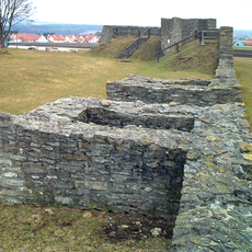
Castrum Sablonetum
2.2 km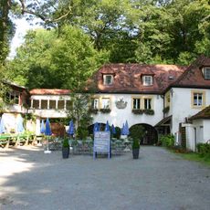
Sommerkeller
1.8 km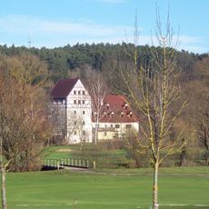
Zollmühle
2.1 km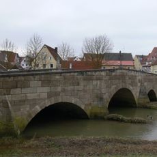
Rezatbrücke
2.5 km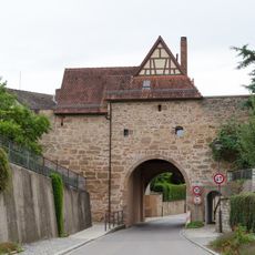
City walls of Pleinfeld
2.6 km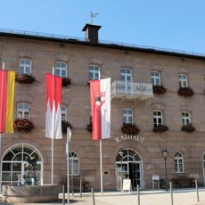
Palazzo municipale
2.7 km
Zweites Ellinger Römerlager
2.3 km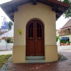
Capella Hueber
2.2 km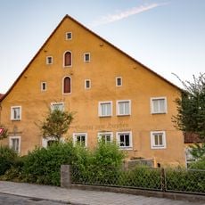
Gasthaus Hirschen
2.4 km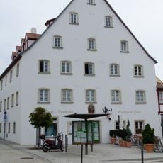
Marktplatz 2
2.6 km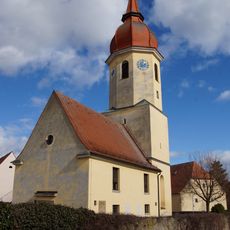
St. Johannis
2.3 km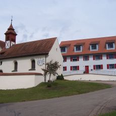
Saint Othmar Church
129 m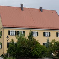
Pfarrhaus
2.6 km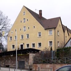
Haus Marktplatz 4
2.6 km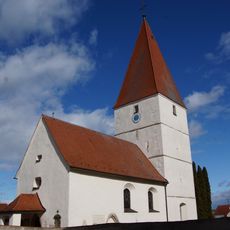
St. Nikolaus
2.2 km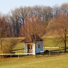
Kapelle
2.3 km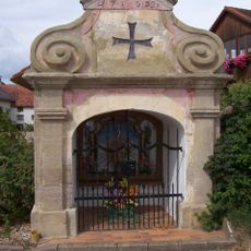
Kapelle
754 m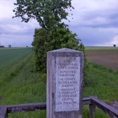
Gedenkstein
2 km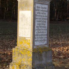
Gedenkstein auf den Obergermanisch-Raetischer Limes-Verlauf hinweisend
1.4 km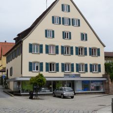
Wohn- und Geschäftshaus
2.6 km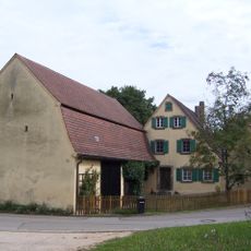
Bauernhaus
196 m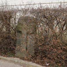
Kreuzstein
2.3 km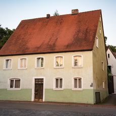
Wohnhaus
2.4 km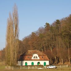
Pumpenhaus
2.3 km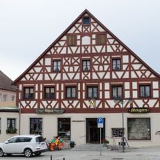
Gasthaus
2.6 km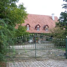
Bauernhaus eines ehemaligen Vierseithofes
680 m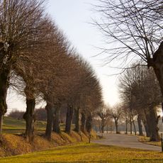
Allee
2.6 km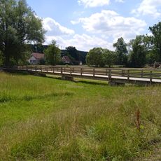
Joseph-Steinmayr-Steg
2.3 kmRecensioni
Ha visitato questo luogo? Tocchi le stelle per valutarlo e condividere la Sua esperienza o foto con la community! Provalo ora! Puoi annullarlo in qualsiasi momento.
Scopri tesori nascosti ad ogni viaggio!
Da piccoli caffè caratteristici a panorami nascosti, fuggi dalla folla e scova i posti che fanno davvero per te. La nostra app ti semplifica tutto: ricerca vocale, filtri furbi, percorsi ottimizzati e dritte autentiche da viaggiatori di tutto il mondo. Scaricala subito per vivere l'avventura sul tuo smartphone!

Un nuovo approccio alla scoperta turistica❞
— Le Figaro
Tutti i luoghi che meritano di essere esplorati❞
— France Info
Un’escursione su misura in pochi clic❞
— 20 Minutes