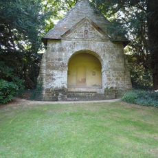
Aves ditch, Opera difensiva dell'Età del Ferro nell'Oxfordshire, Inghilterra
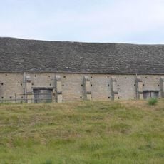
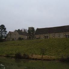
L'Aves Ditch è un fossato lineare che si estende per diversi chilometri attraverso l'Oxfordshire. La struttura consiste in un fossato con argini adiacenti, che formano una caratteristica chiaramente visibile al livello del suolo.
Questo fossato è stato costruito durante l'Età del Ferro e successivamente riutilizzato dalle comunità anglosassoni. La struttura mostra come le caratteristiche difensive o frontaliere rimasero importanti in diversi periodi storici.
Il fossato segnava un confine tra due comunità dell'Età del Ferro e mostra come le persone organizzavano il loro territorio. Camminando lungo di esso oggi, si capisce l'importanza di queste linee divisorie per gli insediamenti antichi.
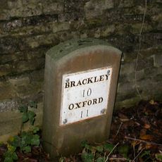
Il fossato può essere esplorato a piedi lungo i sentieri escursionistici nella campagna dell'Oxfordshire. Il terreno è relativamente pianeggiante, anche se alcune sezioni potrebbero essere coperte di vegetazione e quindi richiedono scarpe robuste.
Gli strati di terra all'interno del fossato conservano indizi su come gli antichi popoli gestivano le loro terre nel corso dei secoli. Questi archivi sepolti offrono uno scorcio di pratiche agricole e di vita che pochi altri siti possono rivelare.
La comunità dei viaggiatori curiosi
AroundUs riunisce migliaia di luoghi selezionati, consigli locali e gemme nascoste, arricchiti ogni giorno da oltre 60,000 contributori in tutto il mondo.