
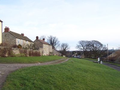
Thornton Steward, village in North Yorkshire, England, UK
Posizione: Richmondshire
Sito web: https://thorntonsteward.org.uk
Coordinate GPS: 54.28066,-1.72753
Ultimo aggiornamento: 6 marzo 2025 alle 14:44
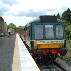
Wensleydale Railway
1.9 km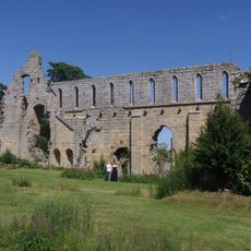
Abbazia di Jervaulx
1.7 km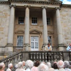
Constable Burton Hall
4.2 km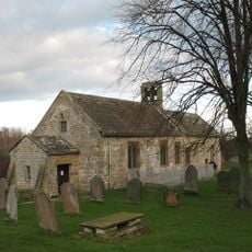
Church of St Andrew
3.2 km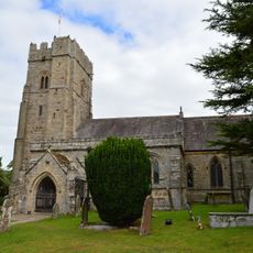
Church of St Michael
4.5 km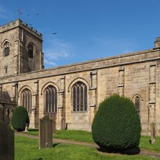
Church of St John the Evangelist
3.4 km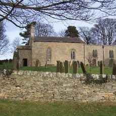
Church of St Oswald
850 m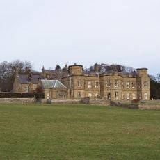
Danby Hall
2 km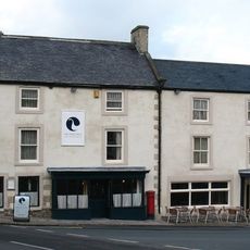
The White Swan
5.1 km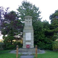
East Witton War Memorial
3.4 km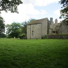
Jervaulx Abbey Gatehouse
1.8 km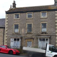
Kent House
5.1 km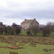
Lane House
1.9 km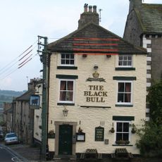
The Black Bull
5 km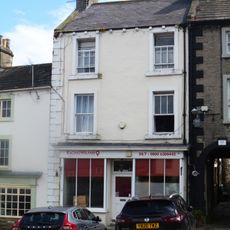
The Nosebag
5.1 km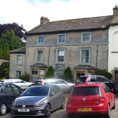
Clarendon House And Railings
5.1 km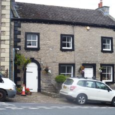
Rosemount
5.1 km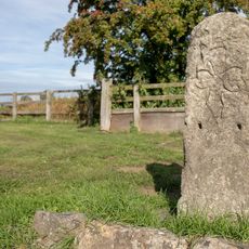
Nichol's Stone
3.8 km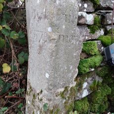
Guidestone, At X rds East Witton/Leyburn/Finghall/Spennithorn roads (two UC roads), 2.25 miles E of Leyburn
3.9 km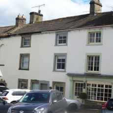
House Occupied By Mr And Mrs Montgomery, House Occupied By Mr Brown, Bow Cottage And Screen Wall
5.1 km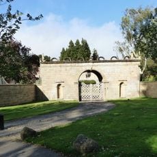
Gatehouse Approximately 80 Metres To South Of Jervaulx Hall
1.7 km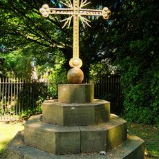
Sebastopol Cross And Base, Approximately 3 Metres To East Of Vestry Of Church Of St Micheal
4.4 km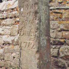
Guide Stone Opposite Eagle Lodge Gates
2 km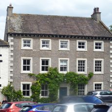
Jasmine House And Ferndale House And Railings
5 km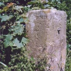
Guidestone, Low Hutton, E of jct with Hutton Hang and Hutton Hill
1.7 km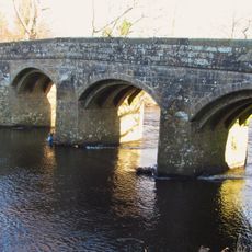
Kilgram Bridge
1.8 km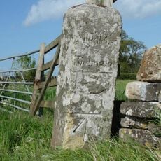
Guidestone, at X rds with UC road nr Stoop House Farm
4.4 km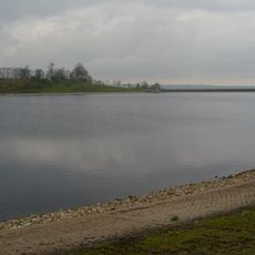
Thornton Steward Reservoir
879 mRecensioni
Ha visitato questo luogo? Tocchi le stelle per valutarlo e condividere la Sua esperienza o foto con la community! Provalo ora! Puoi annullarlo in qualsiasi momento.
Scopri tesori nascosti ad ogni viaggio!
Da piccoli caffè caratteristici a panorami nascosti, fuggi dalla folla e scova i posti che fanno davvero per te. La nostra app ti semplifica tutto: ricerca vocale, filtri furbi, percorsi ottimizzati e dritte autentiche da viaggiatori di tutto il mondo. Scaricala subito per vivere l'avventura sul tuo smartphone!

Un nuovo approccio alla scoperta turistica❞
— Le Figaro
Tutti i luoghi che meritano di essere esplorati❞
— France Info
Un’escursione su misura in pochi clic❞
— 20 Minutes