
Wymeswold, village and civil parish in Leicestershire, England, UK
Posizione: Charnwood
Coordinate GPS: 52.80510,-1.10611
Ultimo aggiornamento: 2 aprile 2025 alle 07:44
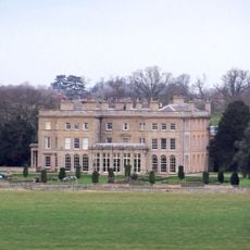
Prestwold Hall
3.1 km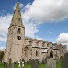
Church of St Mary and All Saints, Willoughby-on-the-Wolds
3.6 km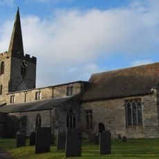
Holy Trinity Church
3.7 km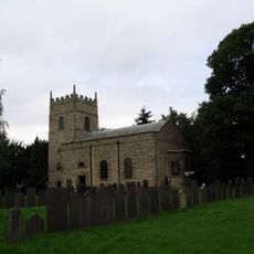
All Saints' Church, Rempstone
3 km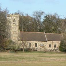
Church of St Andrew
3.3 km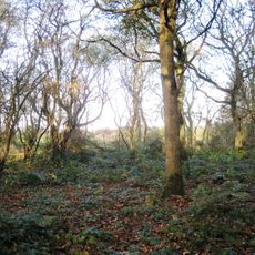
Twenty Acre Piece
4.5 km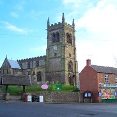
Church of St Mary
60 m
Church of Saint Leonard
3.1 km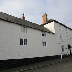
3, Church Street
53 m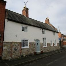
11, Church Street
26 m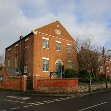
Methodist Chapel
98 m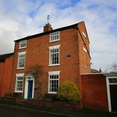
24, Church Street
26 m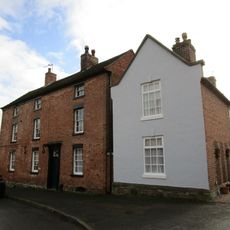
17, Church Street
7 m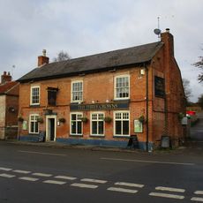
The 3 Crowns Public House
137 m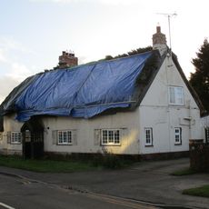
The Thatch
2.9 km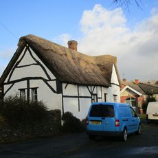
The Cottage
2.7 km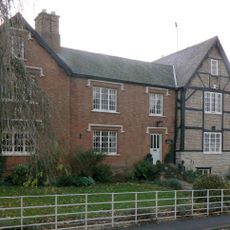
Old Manor House
3.8 km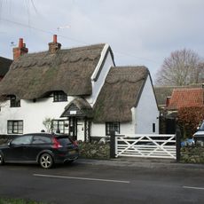
Little Thatch
96 m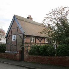
28, Wymeswold Road
2.9 km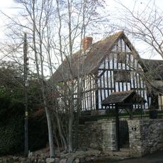
10, Loughborough Road
3.7 km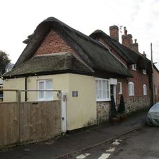
58, Brook Street
105 m
3, Wymeswold Road
3 km
Hrempis Farmhouse
2.6 km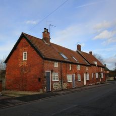
5-9, Wymeswold Road
3 km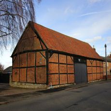
Barn To Holly Tree Farm
2.9 km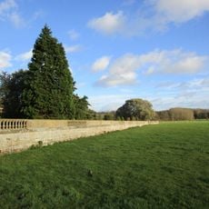
Prestwold Hall, Garden Walls
3.1 km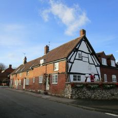
11, Wymeswold Road
3 km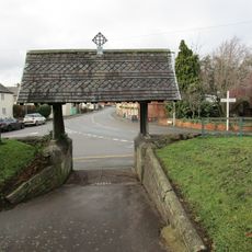
Lychgate to Church Yard
94 mRecensioni
Ha visitato questo luogo? Tocchi le stelle per valutarlo e condividere la Sua esperienza o foto con la community! Provalo ora! Puoi annullarlo in qualsiasi momento.
Scopri tesori nascosti ad ogni viaggio!
Da piccoli caffè caratteristici a panorami nascosti, fuggi dalla folla e scova i posti che fanno davvero per te. La nostra app ti semplifica tutto: ricerca vocale, filtri furbi, percorsi ottimizzati e dritte autentiche da viaggiatori di tutto il mondo. Scaricala subito per vivere l'avventura sul tuo smartphone!

Un nuovo approccio alla scoperta turistica❞
— Le Figaro
Tutti i luoghi che meritano di essere esplorati❞
— France Info
Un’escursione su misura in pochi clic❞
— 20 Minutes