
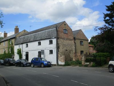
The Old Granary, granary in Stoke Ferry, King's Lynn and West Norfolk, Norfolk, UK
Posizione: Stoke Ferry
Coordinate GPS: 52.57028,0.51445
Ultimo aggiornamento: 5 marzo 2025 alle 07:33
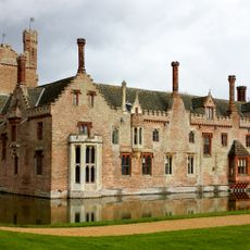
Oxburgh Hall
4 km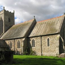
Church of All Saints
2.4 km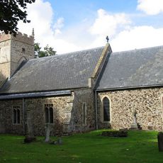
Church of St Margaret
3 km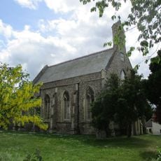
Church of All Saints
44 m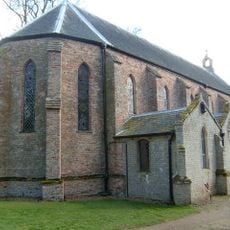
Church of the Immaculate Conception of the Blessed Virgin Mary and St Margaret
3.9 km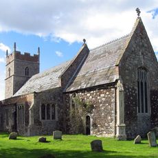
Church of All Saints
1.5 km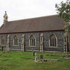
Christchurch
1.3 km
Stoke Ferry War Memorial
68 m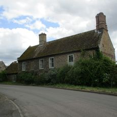
Canterbury House
109 m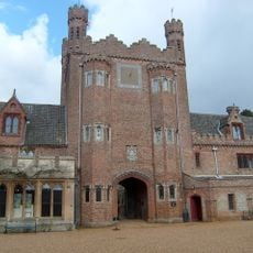
Park Boundary Wall Including Tower And Gateway
3.7 km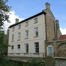
Park House Including Stable Yard To East
29 m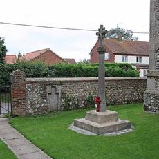
Boughton War Memorial
2.4 km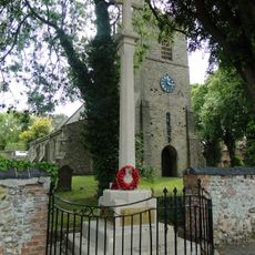
Wereham War Memorial
3 km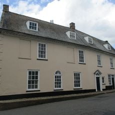
Cobbles
126 m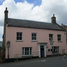
Crown House
69 m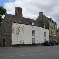
All Saints Lodge
72 m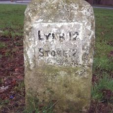
Milestone, opp. village hall, Church Rd
3.1 km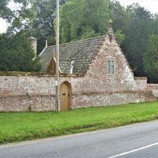
Chapel Lodge
3.9 km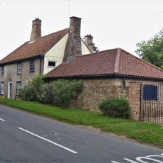
Hall Farmhouse
4 km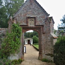
Pedestrian Gateway Approximately 70 Metres North East Of Oxburgh Hall
4.1 km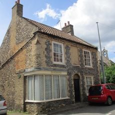
The Old Chemists Shop
10 m
Stoke Ferry Hall
105 m
The Surgery
47 m
Former Stables, Coach House And Attached Gate Posts
4 km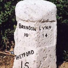
Milestone, Bridge Rd 20yds S of Hawthorn Lodge
248 m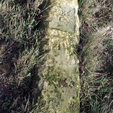
Milestone, Methwold Rd, Whittington
1.8 km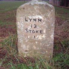
Milestone, Lynn Road, by 'The Four Winds',
1.5 km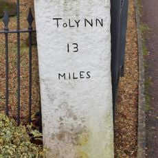
Milestone, Opposite The Blue Bell
441 mRecensioni
Ha visitato questo luogo? Tocchi le stelle per valutarlo e condividere la Sua esperienza o foto con la community! Provalo ora! Puoi annullarlo in qualsiasi momento.
Scopri tesori nascosti ad ogni viaggio!
Da piccoli caffè caratteristici a panorami nascosti, fuggi dalla folla e scova i posti che fanno davvero per te. La nostra app ti semplifica tutto: ricerca vocale, filtri furbi, percorsi ottimizzati e dritte autentiche da viaggiatori di tutto il mondo. Scaricala subito per vivere l'avventura sul tuo smartphone!

Un nuovo approccio alla scoperta turistica❞
— Le Figaro
Tutti i luoghi che meritano di essere esplorati❞
— France Info
Un’escursione su misura in pochi clic❞
— 20 Minutes