
Wall And Former Stable To West Of Chiddingstone Castle
Wall And Former Stable To West Of Chiddingstone Castle, wall in Chiddingstone, Sevenoaks, Kent, UK
Posizione: Chiddingstone
Coordinate GPS: 51.18588,0.14204
Ultimo aggiornamento: 20 novembre 2025 alle 03:49
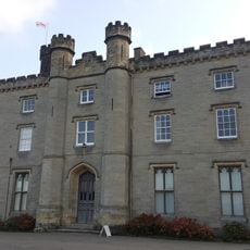
Chiddingstone Castle
27 m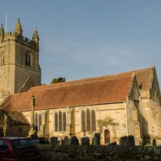
Church of St Mary
292 m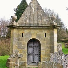
Mausoleum To East Of South East Corner Of Church Of St Mary
310 m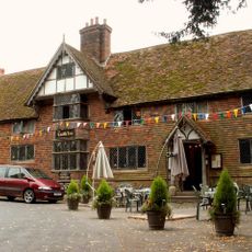
The Castle Inn
250 m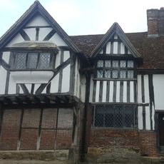
1, High Street
311 m
The Post Office And Village Shop
289 m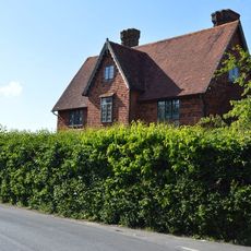
Larkins Farmhouse
782 m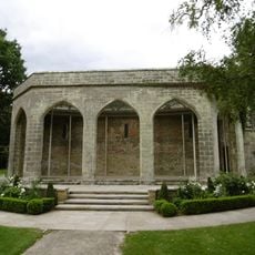
Pumphouse Gazebo Orangery And Garden Wall Chiddingstone Castle
77 m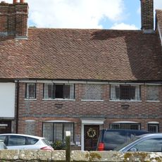
2, High Street
303 m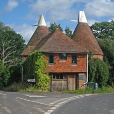
Triangle Oast
824 m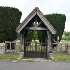
Wall And Lych Gate Along South Boundary Of Cemetery
479 m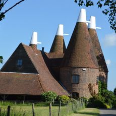
Oast Houses And Drying Shed To South Of Larkins Farm
761 m
Withers
475 m
Tye Hall
100 m
4, High Street
272 m
Former Smithy To Old Forge
236 m
Forge Cottage
227 m
Barn And Attached Outbuildings At Larkins Farm
834 m
Barn At Hill Hoath Farm
557 m
Old Gilwyns
279 m
Wall And Lych Gate To South Of Church Of St Mary
286 m
6, High Street
266 m
Outbuilding To Rear Of Castle Inn
262 m
The Old Rectory
320 m
Wall And Entrance Gate To Chiddingstone Castle
238 m
Castle Close The Courtyard
26 m
Gilwyns
268 m
Nos 50 And 51 (Former No 54)
513 mRecensioni
Ha visitato questo luogo? Tocchi le stelle per valutarlo e condividere la Sua esperienza o foto con la community! Provalo ora! Puoi annullarlo in qualsiasi momento.
Scopri tesori nascosti ad ogni viaggio!
Da piccoli caffè caratteristici a panorami nascosti, fuggi dalla folla e scova i posti che fanno davvero per te. La nostra app ti semplifica tutto: ricerca vocale, filtri furbi, percorsi ottimizzati e dritte autentiche da viaggiatori di tutto il mondo. Scaricala subito per vivere l'avventura sul tuo smartphone!

Un nuovo approccio alla scoperta turistica❞
— Le Figaro
Tutti i luoghi che meritano di essere esplorati❞
— France Info
Un’escursione su misura in pochi clic❞
— 20 Minutes