
Farmbuildings, 15 Metres West Of East Whorley Hill Farmhouse
Farmbuildings, 15 Metres West Of East Whorley Hill Farmhouse, agricultural structure in Whorlton, County Durham, UK
Posizione: Whorlton
Coordinate GPS: 54.54310,-1.82136
Ultimo aggiornamento: 25 novembre 2023 alle 01:28
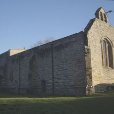
Church of St Mary
2.1 km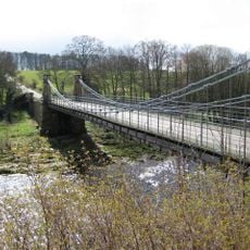
Whorlton Bridge
2.1 km
Ivy Cottage
1.5 km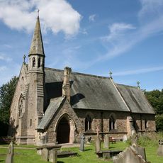
St Mary's Church, Whorlton
2 km
Park Farmhouse And Garden Wall
1.5 km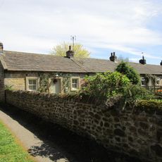
1-7, Grange Terrace
1.8 km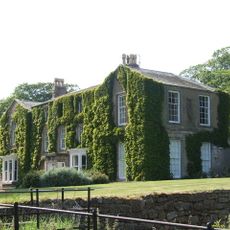
Newsham Hall
1.6 km
Coach-House And Stables, 40 Metres West Of Newsham Hall
1.5 km
Milestone, 150 Metres East Of Junction With Tarn Lane
845 m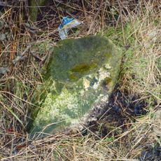
Milestone, 40 Metres West Of West Whorley Hill Farmhouse
605 m
Coach-House, 30 Metres North Of Stubb House
734 m
The Conifers
2 km
The Croft
1.5 km
Byre And Attached Cart Shed 40 Metres North Of Walker Hall
1.5 km
Dial House And Outbuildings Attached To Left And Right
1.3 km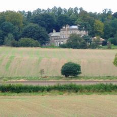
Stubb House
796 m
The Bridge Inn
1.9 km
Bramble Cottage
1.4 km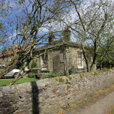
Lilac Cottage
1.8 km
Whorlton Croft
1.9 km
1-3, Grange Cottages
1.7 km
Walker Hall And Garden Wall To South
1.4 km
Font, Adjacent To South Porch Of Church Of St. Mary
2 km
Cascata
2.1 km
The Nest
2.1 km
Toll House At North-West End Of Whorlton Bridge
2.1 km
Barn Attached To West Of Park Farmhouse
1.5 km
Outbuilding Attached To Right Of Walker Hall
1.4 kmRecensioni
Ha visitato questo luogo? Tocchi le stelle per valutarlo e condividere la Sua esperienza o foto con la community! Provalo ora! Puoi annullarlo in qualsiasi momento.
Scopri tesori nascosti ad ogni viaggio!
Da piccoli caffè caratteristici a panorami nascosti, fuggi dalla folla e scova i posti che fanno davvero per te. La nostra app ti semplifica tutto: ricerca vocale, filtri furbi, percorsi ottimizzati e dritte autentiche da viaggiatori di tutto il mondo. Scaricala subito per vivere l'avventura sul tuo smartphone!

Un nuovo approccio alla scoperta turistica❞
— Le Figaro
Tutti i luoghi che meritano di essere esplorati❞
— France Info
Un’escursione su misura in pochi clic❞
— 20 Minutes