
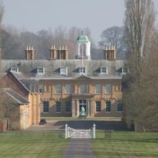
Queen Anne's Mead, architectural structure in Swallowfield, Wokingham, Berkshire, UK
Posizione: Swallowfield
Coordinate GPS: 51.37417,-0.96969
Ultimo aggiornamento: 15 giugno 2025 alle 07:57
Stratfield Saye House
3.3 km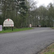
Wellington Country Park
2.2 km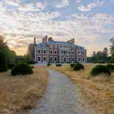
Heckfield Place
3.6 km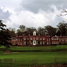
Farley Hall
3.2 km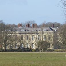
Swallowfield Park
1.7 km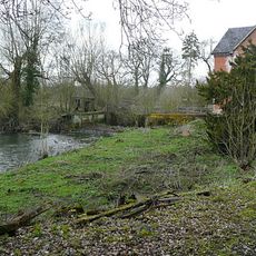
Stanford End Mill and River Loddon
1.6 km
Church of St Michael
3.9 km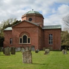
Church of St. Mary the Virgin, Stratfield Saye
3.8 km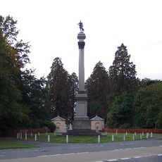
Wellington Monument
2.8 km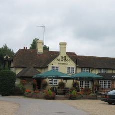
New Inn
4.4 km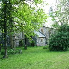
Holy Trinity Church
3.2 km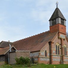
Church of St Mary the Virgin
2 km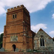
Church of St Mary the Virgin
4 km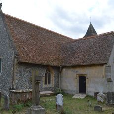
Church of All Saints
1.4 km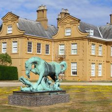
Statue of Horse and Dragon
3.4 km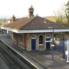
Mortimer Station
4.6 km
St Benedict's School Wokefield Park Wokefield Park (st Benedict's School)
4.7 km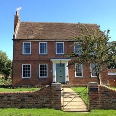
Bartlett's Farmhouse
3.9 km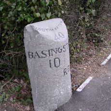
Milestone
640 m
Milestone At Three Mile Cross
3.8 km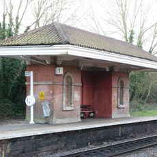
Waiting Room At Mortimer Station On South West Side Of Railway Line
4.6 km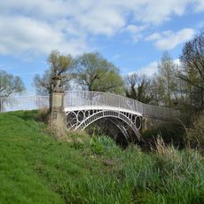
Bridge Over The River Loddon
3.9 km
Gateway
4.6 km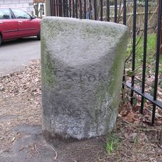
Milestone At Spencers Wood
2.2 km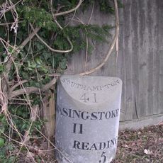
Milestone North North West Of Sheep Bridge
972 m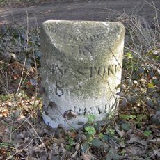
Milestone
3.5 km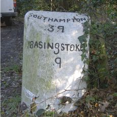
Milestone
1.9 km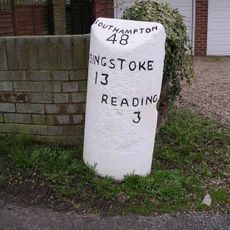
Milestone, Basingstoke Road; Three Mile Cross, on old road that is now a cul de sac off the traffic island
3.8 kmRecensioni
Ha visitato questo luogo? Tocchi le stelle per valutarlo e condividere la Sua esperienza o foto con la community! Provalo ora! Puoi annullarlo in qualsiasi momento.
Scopri tesori nascosti ad ogni viaggio!
Da piccoli caffè caratteristici a panorami nascosti, fuggi dalla folla e scova i posti che fanno davvero per te. La nostra app ti semplifica tutto: ricerca vocale, filtri furbi, percorsi ottimizzati e dritte autentiche da viaggiatori di tutto il mondo. Scaricala subito per vivere l'avventura sul tuo smartphone!

Un nuovo approccio alla scoperta turistica❞
— Le Figaro
Tutti i luoghi che meritano di essere esplorati❞
— France Info
Un’escursione su misura in pochi clic❞
— 20 Minutes